Fraud Blocker Skip to main content

Castle Close Collection

Discover the enchanting world of Castle Close, scattered across various locations in the UK

Background imageCastle Close Collection: Stockton-on-Tees TS19 0 Map

Stockton-on-Tees TS19 0 Map
Postcode Sector Map of Stockton-on-Tees TS19 0

Background imageCastle Close Collection: Ealing W3 8 Map

Ealing W3 8 Map
Postcode Sector Map of Ealing W3 8

Background imageCastle Close Collection: Kirklees WF17 0 Map

Kirklees WF17 0 Map
Postcode Sector Map of Kirklees WF17 0

Background imageCastle Close Collection: Corby NN18 0 Map

Corby NN18 0 Map
Postcode Sector Map of Corby NN18 0

Background imageCastle Close Collection: Tameside M43 7 Map

Tameside M43 7 Map
Postcode Sector Map of Tameside M43 7

Background imageCastle Close Collection: Rushmoor GU14 6 Map

Rushmoor GU14 6 Map
Postcode Sector Map of Rushmoor GU14 6

Background imageCastle Close Collection: Hertsmere WD23 3 Map

Hertsmere WD23 3 Map
Postcode Sector Map of Hertsmere WD23 3

Background imageCastle Close Collection: North Yorkshire YO18 7 Map

North Yorkshire YO18 7 Map
Postcode Sector Map of North Yorkshire YO18 7

Background imageCastle Close Collection: York YO8 3 Map

York YO8 3 Map
Postcode Sector Map of York YO8 3

Background imageCastle Close Collection: Worcester WR3 7 Map

Worcester WR3 7 Map
Postcode Sector Map of Worcester WR3 7

Background imageCastle Close Collection: Cornwall TR11 4 Map

Cornwall TR11 4 Map
Postcode Sector Map of Cornwall TR11 4

Background imageCastle Close Collection: Spelthorne TW16 7 Map

Spelthorne TW16 7 Map
Postcode Sector Map of Spelthorne TW16 7

Background imageCastle Close Collection: New Forest SO41 0 Map

New Forest SO41 0 Map
Postcode Sector Map of New Forest SO41 0

Background imageCastle Close Collection: Merton SW19 5 Map

Merton SW19 5 Map
Postcode Sector Map of Merton SW19 5

Background imageCastle Close Collection: Walsall WS8 7 Map

Walsall WS8 7 Map
Postcode Sector Map of Walsall WS8 7

Background imageCastle Close Collection: York YO32 2 Map

York YO32 2 Map
Postcode Sector Map of York YO32 2

Background imageCastle Close Collection: Barnsley S71 2 Map

Barnsley S71 2 Map
Postcode Sector Map of Barnsley S71 2

Background imageCastle Close Collection: Pembrokeshire SA67 8 Map

Pembrokeshire SA67 8 Map
Postcode Sector Map of Pembrokeshire SA67 8

Background imageCastle Close Collection: Pembrokeshire SA62 6 Map

Pembrokeshire SA62 6 Map
Postcode Sector Map of Pembrokeshire SA62 6

Background imageCastle Close Collection: Hampshire PO5 1 Map

Hampshire PO5 1 Map
Postcode Sector Map of Hampshire PO5 1

Background imageCastle Close Collection: Reigate and Banstead RH2 8 Map

Reigate and Banstead RH2 8 Map
Postcode Sector Map of Reigate and Banstead RH2 8

Background imageCastle Close Collection: Havering RM3 7 Map

Havering RM3 7 Map
Postcode Sector Map of Havering RM3 7

Background imageCastle Close Collection: Reigate and Banstead RH1 4 Map

Reigate and Banstead RH1 4 Map
Postcode Sector Map of Reigate and Banstead RH1 4

Background imageCastle Close Collection: Barnsley S36 6 Map

Barnsley S36 6 Map
Postcode Sector Map of Barnsley S36 6

Background imageCastle Close Collection: Cherwell OX27 8 Map

Cherwell OX27 8 Map
Postcode Sector Map of Cherwell OX27 8

Background imageCastle Close Collection: Cherwell OX27 0 Map

Cherwell OX27 0 Map
Postcode Sector Map of Cherwell OX27 0

Background imageCastle Close Collection: Rochford SS3 9 Map

Rochford SS3 9 Map
Postcode Sector Map of Rochford SS3 9

Background imageCastle Close Collection: Rochford SS6 7 Map

Rochford SS6 7 Map
Postcode Sector Map of Rochford SS6 7

Background imageCastle Close Collection: South Holland PE11 2 Map

South Holland PE11 2 Map
Postcode Sector Map of South Holland PE11 2

Background imageCastle Close Collection: Carmarthenshire SA19 9 Map

Carmarthenshire SA19 9 Map
Postcode Sector Map of Carmarthenshire SA19 9

Background imageCastle Close Collection: South Oxfordshire OX10 6 Map

South Oxfordshire OX10 6 Map
Postcode Sector Map of South Oxfordshire OX10 6

Background imageCastle Close Collection: Northumberland NE68 7 Map

Northumberland NE68 7 Map
Postcode Sector Map of Northumberland NE68 7

Background imageCastle Close Collection: West Norfolk PE30 3 Map

West Norfolk PE30 3 Map
Postcode Sector Map of West Norfolk PE30 3

Background imageCastle Close Collection: Isle of Wight PO38 1 Map

Isle of Wight PO38 1 Map
Postcode Sector Map of Isle of Wight PO38 1

Background imageCastle Close Collection: Sussex PO21 2 Map

Sussex PO21 2 Map
Postcode Sector Map of Sussex PO21 2

Background imageCastle Close Collection: Caerphilly NP11 7 Map

Caerphilly NP11 7 Map
Postcode Sector Map of Caerphilly NP11 7

Background imageCastle Close Collection: Norfolk NR11 8 Map

Norfolk NR11 8 Map
Postcode Sector Map of Norfolk NR11 8

Background imageCastle Close Collection: Newcastle NE3 3 Map

Newcastle NE3 3 Map
Postcode Sector Map of Newcastle NE3 3

Background imageCastle Close Collection: Rushcliffe NG13 0 Map

Rushcliffe NG13 0 Map
Postcode Sector Map of Rushcliffe NG13 0

Background imageCastle Close Collection: Northampton NN5 6 Map

Northampton NN5 6 Map
Postcode Sector Map of Northampton NN5 6

Background imageCastle Close Collection: Monmouthshire NP25 5 Map

Monmouthshire NP25 5 Map
Postcode Sector Map of Monmouthshire NP25 5

Background imageCastle Close Collection: Bedford MK45 3 Map

Bedford MK45 3 Map
Postcode Sector Map of Bedford MK45 3

Background imageCastle Close Collection: Leicester LE9 4 Map

Leicester LE9 4 Map
Postcode Sector Map of Leicester LE9 4

Background imageCastle Close Collection: Rutland LE15 9 Map

Rutland LE15 9 Map
Postcode Sector Map of Rutland LE15 9

Background imageCastle Close Collection: Leicester LE9 7 Map

Leicester LE9 7 Map
Postcode Sector Map of Leicester LE9 7

Background imageCastle Close Collection: Gateshead NE16 4 Map

Gateshead NE16 4 Map
Postcode Sector Map of Gateshead NE16 4

Background imageCastle Close Collection: Northumberland NE61 2 Map

Northumberland NE61 2 Map
Postcode Sector Map of Northumberland NE61 2

Background imageCastle Close Collection: Gedling NG14 6 Map

Gedling NG14 6 Map
Postcode Sector Map of Gedling NG14 6


All Professionally Made to Order for Quick Shipping

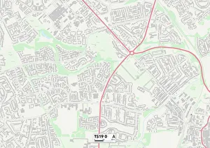
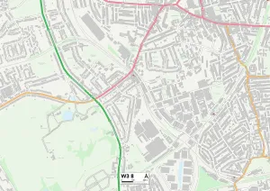
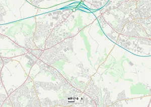
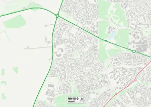
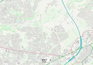
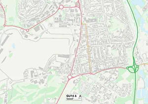
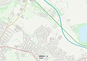
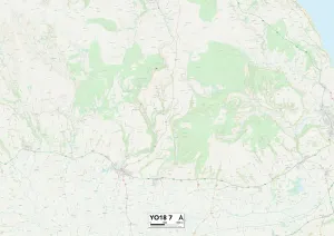
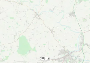
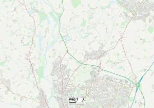
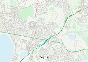
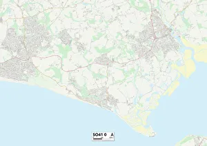
Discover the enchanting world of Castle Close, scattered across various locations in the UK. From the historic streets of Ealing W3 to the picturesque landscapes of Kirklees WF17, each destination offers its own unique charm. Lose yourself in the rich history and architectural wonders found in Tameside M43 or explore the hidden treasures nestled within Rushmoor GU14. Hertsmere WD23 invites you to step back in time and immerse yourself in its grandeur, while North Yorkshire YO18 promises breathtaking views that will leave you spellbound. Wander through the cobbled streets of York YO8 and let its medieval beauty transport you to another era. Stockton-on-Tees TS19 beckons with its captivating blend of old-world charm and modern delights, while Worcester WR3 invites you to unravel its fascinating tales from centuries past. Cornwall TR11 welcomes adventurers with open arms as they embark on a journey filled with stunning coastal vistas and ancient castles perched atop cliffs. Spelthorne TW16 boasts a tranquil escape where nature meets history, offering a perfect retreat for those seeking solace. Nestled amidst lush greenery, New Forest SO41 is a haven for nature lovers who wish to explore majestic woodlands teeming with wildlife. Embark on an unforgettable adventure through these diverse landscapes at Castle Close – where every corner holds secrets waiting to be discovered.