Fraud Blocker Skip to main content

Home > Maps and Charts > Germany

Germany Collection (page 3)

Germany is a country located in central Europe with a population of over 83 million people and has a diverse landscape

7,382 items

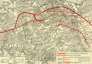
Background imageGermany Collection: positions in the Battle of Verdun, northern France, First World War, 1916, (c1920)

positions in the Battle of Verdun, northern France, First World War, 1916, (c1920)
French and German positions in the Battle of Verdun, northern France, First World War, 1916, (c1920). Solid red line indicates French

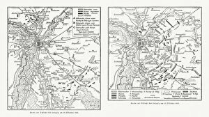
Background imageGermany Collection: Maps of Battle of Leipzig, Napolionic wars, 1813, published 1897

Maps of Battle of Leipzig, Napolionic wars, 1813, published 1897
Maps of the Battle of the Nations near Leipzig from 16 to 19 October 1813, Saxony, Germany. Wood engravings, published in 1897
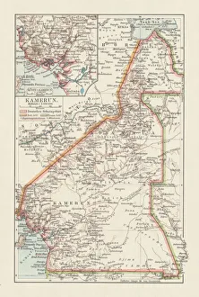
Background imageGermany Collection: Topographic map of Cameroon, lithograph, published in 1897

Topographic map of Cameroon, lithograph, published in 1897
Topographic map of Cameroon, during the German colonial era at the end of the 19th century. Lithograph, published in 1897

Background imageGermany Collection: Map Of Germany, Bohemia And Hungary, Circa. 1760. From 'Atlas De Toutes Les Parties Connues Du

Map Of Germany, Bohemia And Hungary, Circa. 1760. From "Atlas De Toutes Les Parties Connues Du Globe Terrestre
Map Of Germany, Bohemia And Hungary, Circa.1760. From " Atlas De Toutes Les Parties Connues Du Globe Terrestre " By Cartographer Rigobert Bonne. Published Geneva Circa. 1760

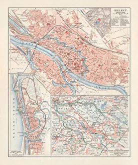
Background imageGermany Collection: City map of Bremen, Germany, lithograph, published 1897

City map of Bremen, Germany, lithograph, published 1897
City map of Bremen, Germany. Lithograph, published in 1897

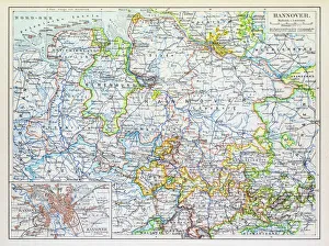
Background imageGermany Collection: Map of Hannover 1895

Map of Hannover 1895
Map of Hannover, Germany

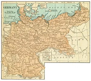
Background imageGermany Collection: Germany map 1875

Germany map 1875
The Independent Course Comprehensive Geography by James Monteith, A.S. Barnes & Co, New York & Chicago 1875

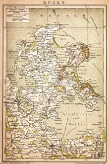
Background imageGermany Collection: RAOEgen

RAOEgen
Antique map of RAOEgen

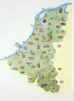
Background imageGermany Collection: Netherlands, map showing distinguishing features and landmarks

Netherlands, map showing distinguishing features and landmarks

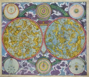
Background imageGermany Collection: Celestial Map of the Planets (coloured engraving)

Celestial Map of the Planets (coloured engraving)
BAL42828 Celestial Map of the Planets (coloured engraving) by Eimmart, Georg Christoph II (1638-1705); O Shea Gallery, London, UK; German, out of copyright

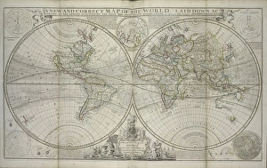
Background imageGermany Collection: A new and correct map of the world laid down according to the newest discoveries

A new and correct map of the world laid down according to the newest discoveries
XOS1765728 A new and correct map of the world laid down according to the newest discoveries and from the most exact observations, 1736 (hand coloured print) by Moll

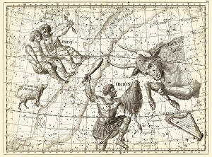
Background imageGermany Collection: Uranographia constellations, 1801 C013 / 8953

Uranographia constellations, 1801 C013 / 8953
Uranographia constellations. This page of this star atlas shows Northern Hemisphere constellations. The constellations are groupings of stars in the night sky

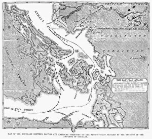
Background imageGermany Collection: CANADA: MAP, 1872. Map of the boundary between British and American territory on the Pacific coast

CANADA: MAP, 1872. Map of the boundary between British and American territory on the Pacific coast, settled by the decision of the Emperor of Germany by arbitration in 1872

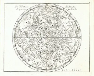
Background imageGermany Collection: Star map, 1805

Star map, 1805
Star map, 19th century. This star map shows the stars of the northern hemisphere. It was published by the German astronomer Johann Elert Bode (1747- 1826), in 1805

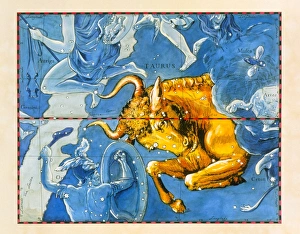
Background imageGermany Collection: Historical artwork of the constellation of Taurus

Historical artwork of the constellation of Taurus
Taurus. Coloured historical artwork of the constellation of Taurus. The constellation is depicted as a bull charging at the shield of Orion, below the Bull to his left

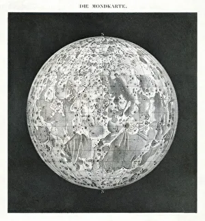
Background imageGermany Collection: Lunar map of 1854

Lunar map of 1854. This map of the Moons surface was published in Germany, and the title across top in in German. The Moon is orientated with celestial North at bottom

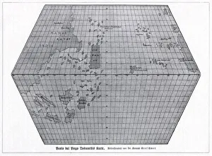
Background imageGermany Collection: Toscanellis world map, 1474

Toscanellis world map, 1474
Toscanellis world map. This map was drawn by the Italian mathematician and astronomer Paolo Toscanelli (1397-1482) in 1474

Background imageGermany Collection: First World War surveillance kite

First World War surveillance kite. US soldier being lifted up by a surveillance kite during the First World War (1914-1918)

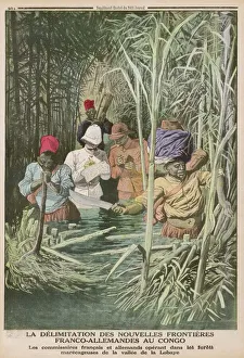
Background imageGermany Collection: Africa / Exploration / Congo

Africa / Exploration / Congo
CONGO - French and German officials, determined to correctly map the boundary between their territories, make their way through the marshy Lobaye valley

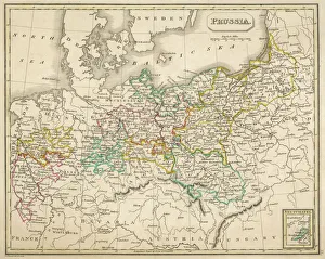
Background imageGermany Collection: Map / Europe / Germany 1827

Map / Europe / Germany 1827
Map of Germany (Prussia) showing the various nation states

Background imageGermany Collection: Le Vocabulaire Illustre: Chanvre; Hemp; Hanf (engraving)

Le Vocabulaire Illustre: Chanvre; Hemp; Hanf (engraving)
7195275 Le Vocabulaire Illustre: Chanvre; Hemp; Hanf (engraving) by European School, (19th century); Private Collection; (add.info.: Chanvre; Hemp; Hanf)

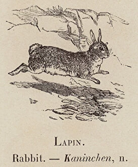
Background imageGermany Collection: Le Vocabulaire Illustre: Lapin; Rabbit; Kaninchen (engraving)

Le Vocabulaire Illustre: Lapin; Rabbit; Kaninchen (engraving)
7196498 Le Vocabulaire Illustre: Lapin; Rabbit; Kaninchen (engraving) by European School, (19th century); Private Collection; (add.info.: Lapin; Rabbit; Kaninchen)

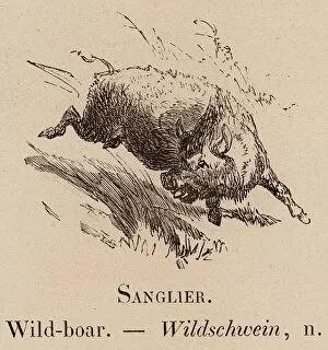
Background imageGermany Collection: Le Vocabulaire Illustre: Sanglier; Wild-boar; Wildschwein (engraving)

Le Vocabulaire Illustre: Sanglier; Wild-boar; Wildschwein (engraving)
7197475 Le Vocabulaire Illustre: Sanglier; Wild-boar; Wildschwein (engraving) by European School, (19th century); Private Collection; (add.info.: Sanglier; Wild-boar; Wildschwein)

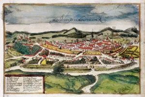
Background imageGermany Collection: Plan of the city of Montpellier, 1572 (coloured engraving)

Plan of the city of Montpellier, 1572 (coloured engraving)
AIS5365892 Plan of the city of Montpellier, 1572 (coloured engraving) by Braun, Georg (1541-1622) and Hogenberg, Franz (1535-90); Biblioteca Universidad, Salamanca

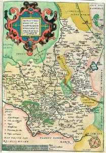
Background imageGermany Collection: Map of Franconia in Germany, 1570 (engraving)

Map of Franconia in Germany, 1570 (engraving)
LRI4704575 Map of Franconia in Germany, 1570 (engraving) by Ortelius, Abraham (1527-98); Museo Navale di Pegli, Genoa, Italy; (add.info.: Franciae Orientalis)

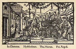
Background imageGermany Collection: Woodcut from 1518 third edition of Utopia by Sir Thomas More (1478-1535

Woodcut from 1518 third edition of Utopia by Sir Thomas More (1478-1535
5615729 Woodcut from 1518 third edition of Utopia by Sir Thomas More (1478-1535) published in Basel showing the author conversing with the protagonist Raphael Hythloday about the ideal society he

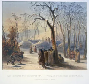
Background imageGermany Collection: Winter Villiage of the Minatarres

Winter Villiage of the Minatarres
3673658 Winter Villiage of the Minatarres by Bodmer, Karl (1809-93); Newberry Library, Chicago, Illinois, USA; (add.info.: Travels in the interior of North America / by Maximilian)

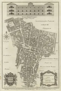
Background imageGermany Collection: Map of Cripplegate Ward, London (engraving)

Map of Cripplegate Ward, London (engraving)
983900 Map of Cripplegate Ward, London (engraving) by English School, (18th century); Private Collection; (add.info.: Map of Cripplegate Ward)

Background imageGermany Collection: City map of WAOErzburg, Bavaria, Germany, lithograph, published in 1897

City map of WAOErzburg, Bavaria, Germany, lithograph, published in 1897
City map of Wurzburg, Bavaria, Germany. Lithograph, published in 1897

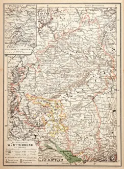
Background imageGermany Collection: Map of Wurttemberg, historical German territory

Map of Wurttemberg, historical German territory
Illustration of a Map of Wurttemberg, historical German territory

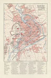
Background imageGermany Collection: City map of Erfurt, Germany, lithograph, published in 1897

City map of Erfurt, Germany, lithograph, published in 1897
City map of Erfurt with street directory, Thuringia, Germany. Lithograph, published in 1897

Background imageGermany Collection: Wilhelmshaven. Germany

Wilhelmshaven. Germany
Antique illustration of a Wilhelmshaven, Germany map

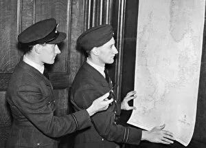
Background imageGermany Collection: Two of the pilots of the Coastal Command of the Royal Air Force who took part in

Two of the pilots of the Coastal Command of the Royal Air Force who took part in the location of the German oil tanker and supply vessel Altmark in neutral Norwegian waters during the Second World

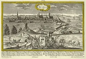
Background imageGermany Collection: Stralsund, c1740. Creator: Johann Georg Ringlin

Stralsund, c1740. Creator: Johann Georg Ringlin
Stralsund, c1740. The city of Stralsund (Stralesunda in Latin), on the Baltic coast of Germany, with a coat of arms in the foreground, and churches, castles, and principal landmarks indicated

Background imageGermany Collection: City map of Karlsruhe, Baden-WAOErttemberg, Germany, lithograph, published in 1897

City map of Karlsruhe, Baden-WAOErttemberg, Germany, lithograph, published in 1897
City map of Karlsruhe, Baden-WAOErttemberg, Germany. Lithograph, published in 1897

Background imageGermany Collection: Hesse-Nassau Map Illustration

Hesse-Nassau Map Illustration
Illustartion of the Province of Hesse-Nassau (German: Provinz Hessen-Nassau). It was a province of the Kingdom of Prussia from 1868 to 1918, then a province of the Free State of Prussia until 1944

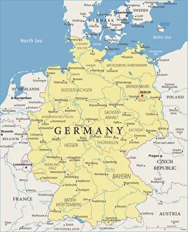
Background imageGermany Collection: Map of Germany - Vector

Map of Germany - Vector illustration

Background imageGermany Collection: Berlin city map 1893

Berlin city map 1893
Johnsonas Universal Cyclopedia - Charles Kendall - New York 1893

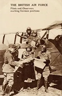
Background imageGermany Collection: WW1 - Royal Air Force - Pilots and Observers mark targets

WW1 - Royal Air Force - Pilots and Observers mark targets
WW1 - Royal Air Force - Pilots and Observers mark enemy german targets and positions. Date: circa 1918

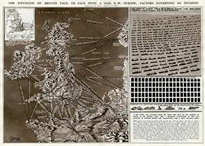
Background imageGermany Collection: Factors governing an invasion by G. H. Davis

Factors governing an invasion by G. H. Davis
The situation of Britain face to face with a German north-west Europe: factors governing an invasion during the Second World War

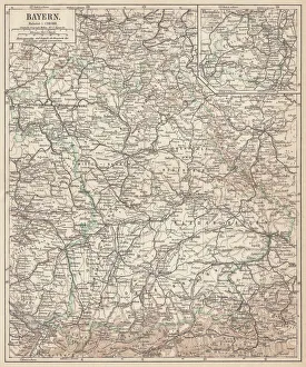
Background imageGermany Collection: German federal state of Bavaria, lithograph, published in 1874

German federal state of Bavaria, lithograph, published in 1874
Map of German federal state of Bavaria. Lithograph, published in 1874

Background imageGermany Collection: Stuttgart map 1895

Stuttgart map 1895
Meyers Konversations-Lexikon. Ein Nachschlagewerk des allgemeinen Wissens, 5th edition 17 volumes Bibliographisches Institut - Leipzig 1895-1897

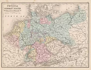
Background imageGermany Collection: Prussia and german states map 1867

Prussia and german states map 1867
Mitchellas Modern Atlas - Published by E.H. Butler and Co - Philadelphia 1867

Background imageGermany Collection: Australia Map Gotha, Justus Perthes, 1872, Atlas

Australia Map Gotha, Justus Perthes, 1872, Atlas. Perthes, Johan Georg Justus 1749 aa 1816, German publisher, was born in Rudolstadt in 1749

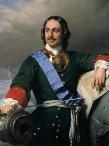
Background imageGermany Collection: Peter I the Great (1672-1725) 1838 (oil on canvas) (see also 144528)

Peter I the Great (1672-1725) 1838 (oil on canvas) (see also 144528)
XKH144529 Peter I the Great (1672-1725) 1838 (oil on canvas) (see also 144528) by Delaroche, Hippolyte (Paul) (1797-1856); 130.6x97 cm; Hamburger Kunsthalle, Hamburg, Germany; French, out of copyright

Background imageGermany Collection: Dark matter distribution

Dark matter distribution. Image 1 of 4. Supercomputer simulation, known as the Millennium Run, showing the distribution of dark matter in the local universe

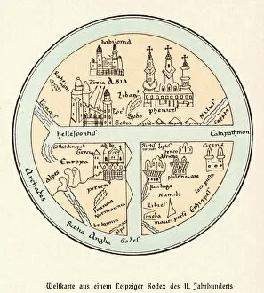
Background imageGermany Collection: World Map / Leipzig Codex

World Map / Leipzig Codex
A German map of the world, showing various cities, rivers and seas

Background imageGermany Collection: Brazil & Bras Portrait

Brazil & Bras Portrait
A map of Brazil with a portrait of its then president Venceslau Bras. Brazil had declared war on Germany in 1917 during World War One


All Professionally Made to Order for Quick Shipping


-

Germany Collection

Germany is a country located in central Europe with a population of over 83 million people and has a diverse landscape, ranging from the Alps in the south to the North Sea and Baltic Sea coasts in the north. The country is known for its strong economy, which is driven by industries such as automotive manufacturing, engineering, and pharmaceuticals. It also has a rich cultural history, with famous composers like Beethoven and Bach hailing from the country. Its capital city Berlin is renowned for its vibrant art scene and historical landmarks such as the Brandenburg Gate.
+

Our beautiful pictures are available as Framed Prints, Photos, Wall Art and Photo Gifts

The Germany collection from Media Storehouse offers a wide selection of wall art and framed prints that showcase the beauty, history, and culture of Germany. Our collection features an array of maps and charts that depict the country's geography, landmarks, cities, regions, and historical events. From vintage maps to modern designs, our collection caters to different tastes and preferences. Some of the popular items in our collection include antique city plans of Berlin or Munich; topographic maps of Bavaria or Black Forest; political maps showing Germany's borders over time; charts illustrating Germanic tribes' migration patterns during ancient times. These artworks are available in various sizes and formats such as canvas prints or traditional frames. They make great decorations for homes, offices or public spaces like museums or libraries. The Germany collection is a must-see for anyone interested in exploring the rich heritage of this fascinating country through visual art.
+

What are Germany (Maps and Charts) art prints?

Germany art prints are high-quality reproductions of historical maps and charts depicting various regions, cities, and landmarks in Germany. These prints showcase the intricate details of the original maps and charts, including topography, street names, buildings, rivers, and other geographical features. These art prints are perfect for history enthusiasts who want to explore Germany's rich cultural heritage or for those who simply appreciate beautiful cartographic artwork. They can be used as decorative pieces in homes or offices or as educational tools in schools and libraries. We offer a wide range of Germany art prints that cater to different tastes and preferences. You can choose from vintage-style sepia-toned maps to colorful contemporary designs that highlight specific areas or themes such as wine regions or cycling routes. These art prints provide a unique way to experience Germany's geography and history while adding aesthetic value to any space.
+

What Germany (Maps and Charts) art prints can I buy from Media Storehouse?

We offer a wide range of Germany maps and charts art prints that you can purchase. These include vintage maps, city plans, topographical charts, and historical atlases. You can choose from different styles and sizes to suit your preferences. One popular option is the antique map of Germany created by cartographer Gerard Mercator in 1595. This beautifully detailed map shows the country's regions, cities, rivers, and mountains as they were known during the Renaissance period. Another interesting print is the Berlin Wall Map which depicts the infamous wall that divided East and West Berlin during the Cold War era. The map includes details on checkpoints, watchtowers, escape tunnels and other features related to this historic event. Whether you are looking for a decorative piece for your home or office or an educational resource for teaching purposes, we have a variety of Germany maps and charts art prints available to suit your needs.
+

How do I buy Germany (Maps and Charts) art prints?

To buy Germany art prints from Media Storehouse, you can browse our extensive collection of high-quality prints online. Simply search for the specific artwork or artist you are interested in, or filter by category to find maps and charts related to Germany. Once you have found a print that catches your eye, select the size and format that best suits your needs. We offer a range of options for printing on different materials such as canvas, photographic paper, and fine art paper. You can also choose to have your print framed or unframed depending on your preference. Once you have made your selection, simply add it to your cart and proceed to checkout. Payment is easy with various payment methods available including credit card payments. Buying Germany art prints from Media Storehouse is a straightforward process that allows you to easily access beautiful artworks at affordable prices.
+

How much do Germany (Maps and Charts) art prints cost?

We offer a wide range of Germany art prints at varying prices. Our collection includes vintage maps, historical charts, and modern interpretations of the country's geography. The cost of each print depends on several factors such as size, framing options, and printing material. We understand that every customer has unique preferences when it comes to purchasing art prints. That is why we have made sure to provide a diverse selection that caters to different tastes and budgets. Whether you are looking for an affordable poster or a high-quality canvas print, we have something for everyone. Our Germany art prints make great additions to any home or office space. They are not only aesthetically pleasing but also educational pieces that can spark interesting conversations about history and geography. So if you're interested in adding some German-inspired artwork to your collection, be sure to check out our selection today.
+

How will my Germany (Maps and Charts) art prints be delivered to me?

Your Germany art prints will be delivered to you in a safe and secure manner by our trusted delivery partners. We take great care to ensure that your artwork is packaged with the utmost care, so it arrives at your doorstep in pristine condition. Depending on the size of your order, we may use different shipping methods such as standard post or courier services. We understand how important it is for you to receive your artwork promptly, which is why we work hard to dispatch all orders as quickly as possible. Once dispatched, you will receive an email notification containing tracking information so that you can keep track of your package's progress. We are committed to providing our customers with high-quality products and exceptional service. If for any reason you are not completely satisfied with your purchase, please do not hesitate to contact us so that we can resolve any issues promptly.