Fraud Blocker Skip to main content

Home > Maps and Charts > Early Maps

Early Maps Collection (page 5)

Early maps, also known as maps and charts, were created by ancient civilizations to navigate their surroundings

26,415 items

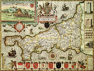
Background imageEarly Maps Collection: Cornwall Historical John Speed 1610 Map

Cornwall Historical John Speed 1610 Map
A reproduction of John Speeds historical map of the county of Cornwall. Originally published as part of his atlas called The Theatre of the Empire of Great Britain in 1610

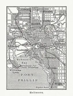
Background imageEarly Maps Collection: City map of Melbourne, Australia, wood engraving, published in 1897

City map of Melbourne, Australia, wood engraving, published in 1897
Historical city map of Melbourne, Australia. Wood engraving, published in 1897

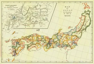
Background imageEarly Maps Collection: Map of Japan in Provinces in time of Iyeyasu, 1903. Creator: Unknown

Map of Japan in Provinces in time of Iyeyasu, 1903. Creator: Unknown
Map of Japan in Provinces in time of Iyeyasu, 1903. Tokugawa Ieyasu (1543-1616) first shogun of the Tokugawa shogunate which ruled Japan from 1600-1868 and is known as the Edo period

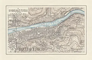
Background imageEarly Maps Collection: Historical city map of Heidelberg, Baden-WAOErttemberg, Germany, lithograph, published 1897

Historical city map of Heidelberg, Baden-WAOErttemberg, Germany, lithograph, published 1897
Historical city map of Heidelberg, Baden-WAOErttemberg, Germany. Lithograph, published in 1897

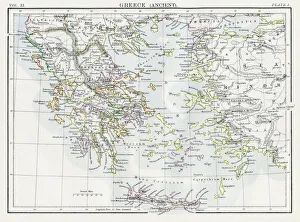
Background imageEarly Maps Collection: Map of Ancient Greece 1883

Map of Ancient Greece 1883
Encyclopedia Britannica 9th Edition New York Samuel L. Hall 1883 Vol XI

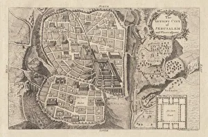
Background imageEarly Maps Collection: Map of the ancient Jerusalem, copperplate engraving, published in 1774

Map of the ancient Jerusalem, copperplate engraving, published in 1774
Map of the ancient Jerusalem. Copperplate engraving, published in 1774

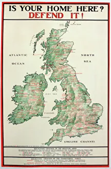
Background imageEarly Maps Collection: WWI Poster, Is your home here? Defend it

WWI Poster, Is your home here? Defend it
Is your home here? Defend it! Parliamentary Recruiting Committee poster with a map showing the different regiments and HQs where men can enlist. Date: 1916

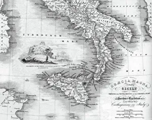
Background imageEarly Maps Collection: Vintage map of Magna Graecia

Vintage map of Magna Graecia, showing the settlements of the ancient greeks in Italy. Magna GrA|cia is the name of the coastal areas of Southern Italy on the Tarentine Gulf that was extensively

Background imageEarly Maps Collection: Newcastle Quayside, 11057268

Newcastle Quayside, 11057268

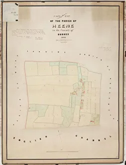
Background imageEarly Maps Collection: Heene tithe map, 1838

Heene tithe map, 1838
By Hide and Patching, Surveyors &c. Worthing. 26.6 in. to 1 m. 48 × 35 Tithe Award Map Collection West Sussex Record Office Ref No: TD/W66

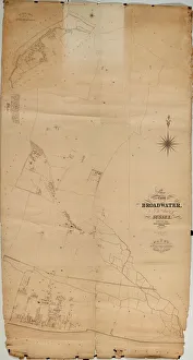
Background imageEarly Maps Collection: Broadwater Tithe Map, 1848

Broadwater Tithe Map, 1848
By Messrs. Hide & Patching, Surveyors, Worthing. Standidge & Co. litho. 36 Old Jewry, London. 26.6 in. to 1 m. Original map size 112in. × 60in

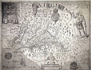
Background imageEarly Maps Collection: VIRGINIA MAP, 1612. Captain John Smiths map of Virginia, 1612

VIRGINIA MAP, 1612. Captain John Smiths map of Virginia, 1612

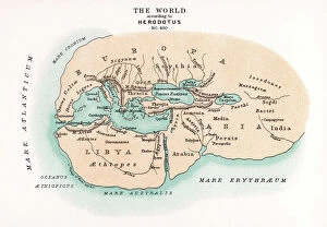
Background imageEarly Maps Collection: WORLD MAP. Pre-Christian era, c450 B. C. according to the writings of Herodotus

WORLD MAP. Pre-Christian era, c450 B. C. according to the writings of Herodotus
WORLD MAP. Pre-Christian era, c450 B.C. according to the writings of Herodotus. A 19th century reconstruction

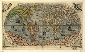
Background imageEarly Maps Collection: 16th century world map

16th century world map
World map, published around 1565 in Venice, Italy, by Italian mapmaker Ferando Bertelli. The title of the map: Universale Descrittione di Tutta la Terra Conosciuta Fin Qui

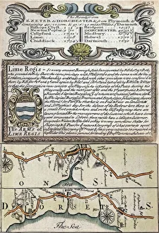
Background imageEarly Maps Collection: 1720 Lyme Regis early map of coast

1720 Lyme Regis early map of coast
Copperplate engraving from 1720 Emanuel Bowen and John Owen in " Britannia Depicta". Lyme Regis early 18th century map showing the Jurassic coast focussing on Lyme Regis

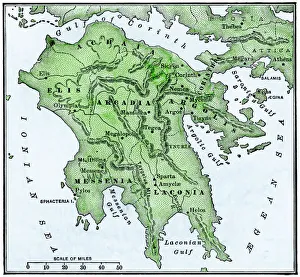
Background imageEarly Maps Collection: Map of the Peloponnesus of ancient Greece

Map of the Peloponnesus of ancient Greece. Hand-colored woodcut of a 19th-century illustration
Background imageEarly Maps Collection: Map / Roman Empire / Cup

Map / Roman Empire / Cup
Part of the Roman Empire, showing St Pauls journeys

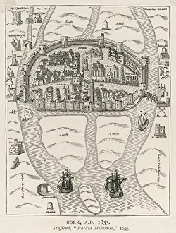
Background imageEarly Maps Collection: Ireland / Cork / 1633 Map

Ireland / Cork / 1633 Map
Primitive relief map of the city

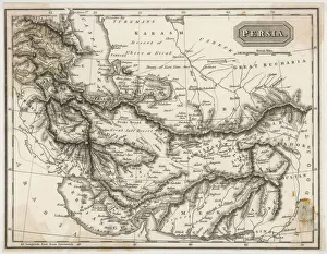
Background imageEarly Maps Collection: Map / Asia / Persia 19C

Map / Asia / Persia 19C
Map of Persia (Iran)

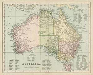
Background imageEarly Maps Collection: Maps / Australia Post-1876

Maps / Australia Post-1876
Map of Australia with names of Counties

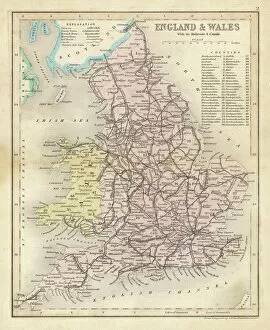
Background imageEarly Maps Collection: Map / England & Wales 1857

Map / England & Wales 1857
Map of England and Wales showing railways and canals

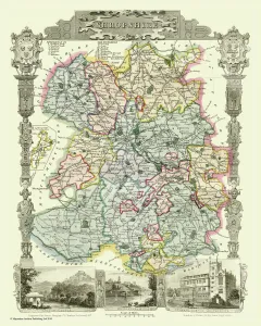
Background imageEarly Maps Collection: Old County Map of Shropshire 1836 by Thomas Moule

Old County Map of Shropshire 1836 by Thomas Moule
This is a fine decorative reproduction County Map of Shropshire from the First Edition series of Thomas Moule Maps, originally Published in 1836

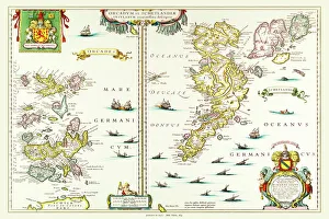
Background imageEarly Maps Collection: Old Map of the Isles of Shetland and Orkney 1654 from the Atlas Novus

Old Map of the Isles of Shetland and Orkney 1654 from the Atlas Novus
This detailed and most attractive reproduction map of The Isles of Shetland and Orkney, has been carefully art worked from a scan of an antique original

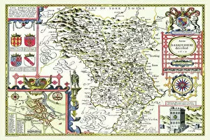
Background imageEarly Maps Collection: Old County Map of Derbyshire 1611 by John Speed

Old County Map of Derbyshire 1611 by John Speed
A facimile of John Speeds historical map of Derbyshire originally published for the " Theatre of the Empire of Great Britain", an atlas to accompany " a history of Great Britain"

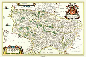
Background imageEarly Maps Collection: Old County Map of Kyle and Mid Ayrshire 1654 by johan Blaeu from the Atlas Novus

Old County Map of Kyle and Mid Ayrshire 1654 by johan Blaeu from the Atlas Novus
This detailed and most attractive reproduction map of Kyle and Mid Ayrshire has been carefully art worked from a scan of an antique original

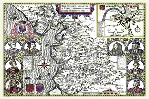
Background imageEarly Maps Collection: Old County Map of Lancashire 1611 by John Speed

Old County Map of Lancashire 1611 by John Speed
A facimile of John Speeds historical map of Lancashire published for the " Theatre of the Empire of Great Britain", an atlas to accompany " a history of Great Britain"

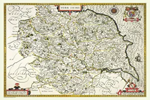
Background imageEarly Maps Collection: Old County Map of Yorkshire 1611 by John Speed

Old County Map of Yorkshire 1611 by John Speed
A facimile of John Speeds historical map of Yorkshire originally published for the " Theatre of the Empire of Great Britain", an atlas to accompany " a history of Great Britain"

Background imageEarly Maps Collection: Old County Map of Dunbartonshire, formally called Dumbartonshire, Scotland 1847 by A&C Black

Old County Map of Dunbartonshire, formally called Dumbartonshire, Scotland 1847 by A&C Black
A finely detailed facimile remastered in full colour from an antique original map of " Dumbartonshire" featured in A&C Blacks Atlas of 1847

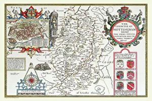
Background imageEarly Maps Collection: Old County Map of Nottinghamshire 1611 by John Speed

Old County Map of Nottinghamshire 1611 by John Speed
A facimile of John Speeds historical map of Nottinghamshire originally published for the " Theatre of the Empire of Great Britain"

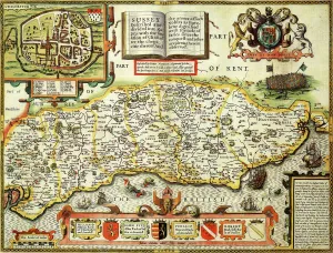
Background imageEarly Maps Collection: Sussex Historical John Speed 1610 Map

Sussex Historical John Speed 1610 Map
A reproduction of John Speeds historical map of the county of Sussex. Originally published as part of his atlas called The Theatre of the Empire of Great Britain in 1610

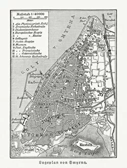
Background imageEarly Maps Collection: Historical city map of Smyrna (Izmir), Turkey, woodcut, published 1897

Historical city map of Smyrna (Izmir), Turkey, woodcut, published 1897
Historical city map of Smyrna (Izmir), Turkey. Wood engraving, published in 1897

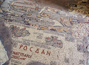
Background imageEarly Maps Collection: Madaba Mosaic Map, Greek Orthodox Basilica of Saint George, Madaba, Madaba Governorate

Madaba Mosaic Map, Greek Orthodox Basilica of Saint George, Madaba, Madaba Governorate, Jordan, Middle East

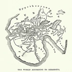
Background imageEarly Maps Collection: Map of the Ancient World according to Herodotus

Map of the Ancient World according to Herodotus
Vintage engraving of a Map of the Ancient World according to Herodotus. Herodotus was a Greek historian who was born in Halicarnassus, Caria and lived in the fifth century BC

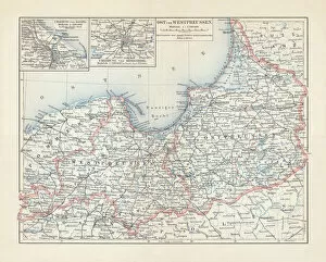
Background imageEarly Maps Collection: Map of East and West Prussia, Germany, lithograph, published 1897

Map of East and West Prussia, Germany, lithograph, published 1897
Historical topographic map of East and West Prussia in Germany (now Poland and Russia). Lithograph, published in 1897

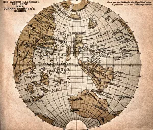
Background imageEarly Maps Collection: World map from 1520

World map from 1520
Western hemisphere of the Johannes SchAoner globe from 1520. expedition

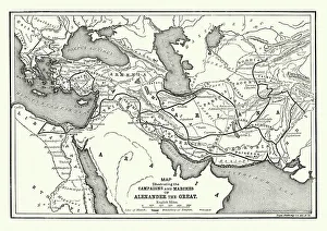
Background imageEarly Maps Collection: Ancient History - Map of Alexander the Great Campaigns

Ancient History - Map of Alexander the Great Campaigns
Vintage engraving of a map of the campaigns and marches of Alexander the Great

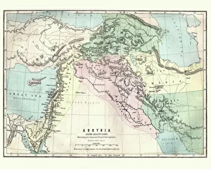
Background imageEarly Maps Collection: Map of Assyria illustrating the biblical Patriarchal Age

Map of Assyria illustrating the biblical Patriarchal Age
Vintage engraving of a Map of Assyria illustrating the biblical Patriarchal Age

Background imageEarly Maps Collection: Map of Greek island of Corfu. Ionian Sea. Italian map. 1537

Map of Greek island of Corfu. Ionian Sea. Italian map. 1537

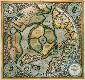
Background imageEarly Maps Collection: Septentrionalium Terrarum descriptio, 1595, by Gerardus Merc

Septentrionalium Terrarum descriptio, 1595, by Gerardus Merc
Gerardus Mercator (1512-1594). Flemish cartographer. Septentrionalium Terrarum descriptio. Map of the Arctic with the North Pole and surrounding lands within and outside the Arctic Circle, 1595

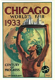
Background imageEarly Maps Collection: Poster design, Chicago Worlds Fair 1933

Poster design, Chicago Worlds Fair 1933, featuring a classical figure with arms raised, holding a model of the city. Date: 1933

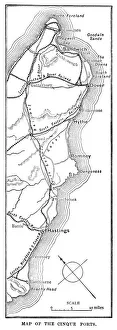
Background imageEarly Maps Collection: Map of the Cinque Ports (Victorian engraving)

Map of the Cinque Ports (Victorian engraving)
An old map of the Cinque Ports, which are five historic ports on the south-eastern corner of Kent, England. The Confederation of Cinque Ports (Cinque is pronounced asinka)

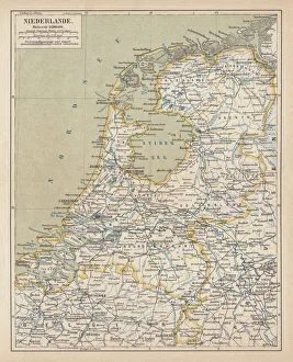
Background imageEarly Maps Collection: Map of the Netherlands, lithograph, published in 1877

Map of the Netherlands, lithograph, published in 1877
Map of the Netherlands. Lithograph, published in 1877

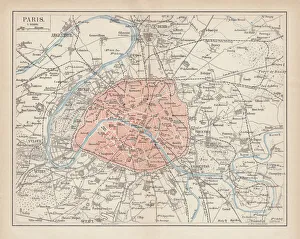
Background imageEarly Maps Collection: City map of Paris, lithograph, published in 1877

City map of Paris, lithograph, published in 1877
City map of Paris, France. Lithograph, published in 1877

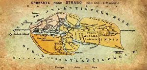
Background imageEarly Maps Collection: Map of the world according to Strabo

Map of the world according to Strabo 63 B.C

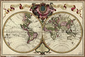
Background imageEarly Maps Collection: Map of the world, 1720

Map of the world, 1720
(Original Caption) 18th century map of the world. Published in Paris in 1720, this French map shows the known world, including the new lands that had been discovered in the preceding centuries by

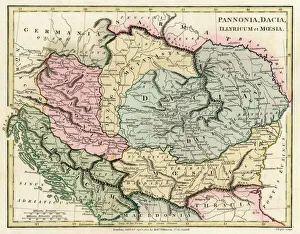
Background imageEarly Maps Collection: Map of the Dacian Empire and Roman provinces

Map of the Dacian Empire and Roman provinces. Date: 1801

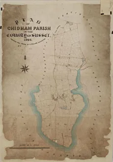
Background imageEarly Maps Collection: Chidham Tithe Map, 1846

Chidham Tithe Map, 1846
By E. Fuller, Chichester. 13.3 in. to 1m. Original map size 54in. × 37in. Tithe Award Map Collection West Sussex Record Office Ref No: TD/W30

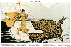
Background imageEarly Maps Collection: WOMENs SUFFRAGE, 1915. The Awakening. American cartoon, 1915, by Henry Mayer

WOMENs SUFFRAGE, 1915. The Awakening. American cartoon, 1915, by Henry Mayer, showing an allegorical representation of the suffrage cause striding across the western states


All Professionally Made to Order for Quick Shipping


-

Early Maps Collection

Early maps, also known as maps and charts, were created by ancient civilizations to navigate their surroundings. These early cartographers used various techniques such as observation, measurement, and estimation to create accurate depictions of the world around them. The earliest known map dates back to 6th century BCE in Babylonia. As time progressed, more advanced mapping techniques were developed including the use of longitude and latitude lines for navigation purposes. Maps have played a significant role in history by aiding explorers in discovering new lands and helping nations establish boundaries. Today, they can valuable artifacts that provide insight into the past and serve as a reminder of how far cartography has come over time.
+

Our beautiful pictures are available as Framed Prints, Photos, Wall Art and Photo Gifts

The Early Maps collection from Media Storehouse is a fascinating assortment of historical maps and charts that offer an insight into the evolution of cartography. Our collection features antique maps dating back to the 16th century, including world maps, regional maps, city plans, and nautical charts. These meticulously crafted pieces are not only visually stunning but also provide valuable information about the geography, topography, and political boundaries of different regions throughout history. The Early Maps collection offers a unique opportunity for art enthusiasts, historians or anyone interested in exploring the past through visual representation. The prints are available in various sizes and formats such as canvas prints or framed wall art making them suitable for any home or office decor. Whether you're looking to add a touch of vintage charm to your living space or seeking inspiration for research projects on historical geography or navigation techniques - our collection has something for everyone.
+

What are Early Maps (Maps and Charts) art prints?

Early Maps art prints are reproductions of historical maps and charts that were created centuries ago. These maps were originally made by cartographers who used various techniques to accurately depict the geography, topography, and other features of different regions around the world. Early Maps art prints offer a glimpse into how people perceived the world in earlier times, as well as providing valuable information about past civilizations, cultures, and trade routes. These art prints are ideal for history buffs, collectors or anyone who appreciates vintage artwork. They can be displayed in homes or offices to add a touch of elegance and sophistication to any space. We offer a wide variety of Early Maps art prints from different eras such as medieval Europe, ancient Rome or China during the Ming dynasty. These beautiful reproductions provide an opportunity for individuals to own a piece of history while also enjoying stunning works of art that showcase incredible craftsmanship from long ago.
+

What Early Maps (Maps and Charts) art prints can I buy from Media Storehouse?

We offer a wide range of early maps and charts art prints for purchase. These include antique world maps, vintage city plans, historical nautical charts, and topographical surveys from various periods in history. Some of the most popular collections available on Media Storehouse are the 16th-century world maps by Gerardus Mercator and Abraham Ortelius, as well as the 18th-century British county maps by John Speed. In addition to these classic pieces, Media Storehouse also has an extensive collection of rare and unique maps that showcase different regions around the globe. Whether you're looking for a map of ancient Rome or a detailed chart of the Caribbean islands from the 17th century, there is something for everyone at Media Storehouse. All art prints are produced using high-quality materials to ensure they look great on any wall. They come in a variety of sizes and finishes to suit your needs. With so many options available, finding the perfect early map or chart print has never been easier.
+

How do I buy Early Maps (Maps and Charts) art prints?

To buy Early Maps art prints from Media Storehouse, you can browse our online collection of maps and charts. Once you have found the print that you like, simply add it to your cart and proceed to checkout. You will be prompted to enter your shipping information and payment details. After completing your purchase, your print will be printed on high-quality paper using archival inks. We offer a wide range of sizes for their prints so that you can choose the perfect size for your space. We also offer framing options if you prefer to receive a framed print rather than an unframed one. Whether you are looking for antique maps or modern interpretations of historical cartography, we have a vast selection of Early Maps art prints available for purchase. Our easy-to-use website makes it simple to find the perfect piece of artwork for any room in your home or office.
+

How much do Early Maps (Maps and Charts) art prints cost?

We offer a wide range of Early Maps art prints that vary in price depending on the size and type of print you choose. Our prices are competitive and affordable, making it easy for anyone to own a piece of history through our collection of vintage maps and charts. Our Early Maps art prints come in various sizes ranging from small to large, so you can find the perfect fit for your home or office space. We also offer different types of paper finishes such as matte or glossy to suit your preference. Whether you're looking for a unique gift or want to add some character to your living space, our Early Maps art prints are an excellent choice. With their intricate details and historical significance, they make for fascinating conversation starters while adding charm to any room.
+

How will my Early Maps (Maps and Charts) art prints be delivered to me?

We take great care in delivering your Early Maps art prints to you. We use high-quality packaging materials to ensure that your prints are protected during transit. Depending on the size of your order, we may use either a sturdy cardboard tube or a flat package with reinforced corners. We work closely with our trusted delivery partners to ensure that your order arrives safely and on time. Our standard delivery service is reliable and efficient, but if you need your order urgently, we also offer express shipping options for an additional fee. Once your order has been dispatched, you will receive a tracking number so that you can monitor its progress online. If there are any issues with the delivery of your print(s), please do not hesitate to contact us - our friendly customer service team will be happy to assist you in resolving any problems as quickly as possible.