Home > Europe > United Kingdom > England > London > Sights > Victoria Park
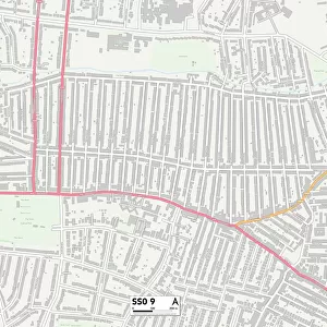
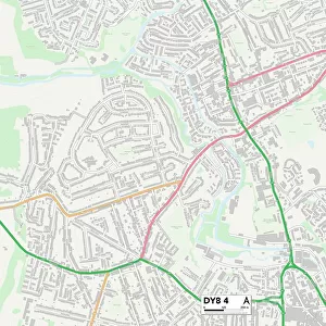
Southend-on-Sea SS2 5 Map

![]()
Wall Art and Photo Gifts from Map Marketing
Southend-on-Sea SS2 5 Map
Postcode Sector Map of Southend-on-Sea SS2 5
Media ID 19978630
Boscombe Road Browning Avenue Byron Avenue Cedar Close Chandlers Way Chestnut Grove Coleman Street Coopers Way Cromwell Road Dickens Close Dryden Avenue East Street Eastern Close Essex Street Farriers Way Gayton Road Glenhurst Road Grainger Close Guildford Road Maldon Road Milton Street Oakhurst Road Potters Way Priory Avenue Priory Crescent Railway Terrace Royston Avenue Ruskin Avenue Sherbourne Close Short Street Southend On Sea St Anns Road Stadium Road Stanfield Road Station Approach Station Avenue Stock Road Stuart Close Stuart Road Stuart Street Sutton Road Swanage Road Sycamore Grove Tennyson Avenue Vale Avenue Wentworth Road Wimborne Road Wordsworth Close Prittlewell
FEATURES IN THESE COLLECTIONS
> Arts
> Portraits
> Pop art gallery
> Street art portraits
> Europe
> United Kingdom
> England
> Essex
> Maldon
> Europe
> United Kingdom
> England
> Essex
> Prittlewell
> Europe
> United Kingdom
> England
> Essex
> Related Images
> Europe
> United Kingdom
> England
> Essex
> Shelley
> Europe
> United Kingdom
> England
> Essex
> Southend-on-Sea
> Europe
> United Kingdom
> England
> Essex
> Southend on Sea
> Europe
> United Kingdom
> England
> Essex
> Stock
> Europe
> United Kingdom
> England
> London
> Sights
> Victoria Park
> Map Marketing
> Postcode Sector Maps
> SS - Southend-on-Sea
> Maps and Charts
> Related Images
MADE IN THE USA
Safe Shipping with 30 Day Money Back Guarantee
FREE PERSONALISATION*
We are proud to offer a range of customisation features including Personalised Captions, Color Filters and Picture Zoom Tools
SECURE PAYMENTS
We happily accept a wide range of payment options so you can pay for the things you need in the way that is most convenient for you
* Options may vary by product and licensing agreement. Zoomed Pictures can be adjusted in the Cart.