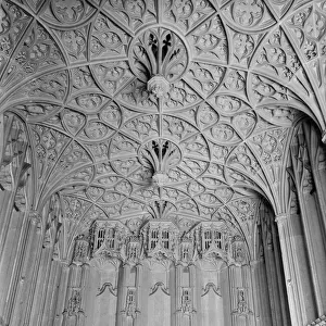
Home > Architecture > Towers > Churches
East Hertfordshire SG10 6 Map

![]()
Wall Art and Photo Gifts from Map Marketing
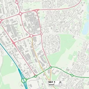
East Hertfordshire SG10 6 Map
Postcode Sector Map of East Hertfordshire SG10 6
Media ID 19981200
Bourne Lane Broadfield Close Bromley Lane Brook Lane Centenary Close Church Lane Cox Lane East Hertfordshire Ferndale High Street Malting Lane South End Station Road The Square Tower Hill Walnut Close Warren Place Windmill Way
FEATURES IN THESE COLLECTIONS
> Architecture
> Towers
> Churches
> Architecture
> Towers
> Tower Bridge
> Arts
> Artists
> C
> Frederick Church
> Arts
> Portraits
> Pop art gallery
> Street art portraits
> Europe
> United Kingdom
> England
> Hertfordshire
> Church End
> Europe
> United Kingdom
> England
> Hertfordshire
> Dane End
> Europe
> United Kingdom
> England
> Hertfordshire
> East End
> Europe
> United Kingdom
> England
> Hertfordshire
> Green End
> Europe
> United Kingdom
> England
> Hertfordshire
> Green Street
> Europe
> United Kingdom
> England
> Hertfordshire
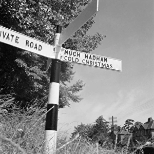
> Much Hadham
> Map Marketing
> Postcode Sector Maps
> SG - Stevenage
MADE IN THE USA
Safe Shipping with 30 Day Money Back Guarantee
FREE PERSONALISATION*
We are proud to offer a range of customisation features including Personalised Captions, Color Filters and Picture Zoom Tools
SECURE PAYMENTS
We happily accept a wide range of payment options so you can pay for the things you need in the way that is most convenient for you
* Options may vary by product and licensing agreement. Zoomed Pictures can be adjusted in the Cart.