Home > Europe > United Kingdom > England > Isle of Wight > Brading
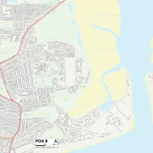
Isle of Wight PO36 0 Map

![]()
Wall Art and Photo Gifts from Map Marketing
Isle of Wight PO36 0 Map
Postcode Sector Map of Isle of Wight PO36 0
Media ID 19976650
Alverstone Road Burnt House Lane Church Lane Clarendon Close Coach Lane Cross Street Doctors Lane Forest Road Forest Way Golf Links Road Hawkins Close High Street Hill Top Isle Of Wight Knighton Longlands Lane Lower Road Morton Morton Road New Road Newchurch Newport Road Nicholas Close Old School Lane Palmers Lane Park Road Park Way Quay Lane Queens Drive Rose Close Sandown Road School Close School Lane St Marys Road Station Gardens Station Road The Brambles The Mall The Paddock Upper Road Ventnor Road Vicarage Lane Watery Lane West Lane West Street Woodside Avenue Alverstone Brading
FEATURES IN THESE COLLECTIONS
> Animals
> Birds
> Passerines
> Finches
> Brambling
> Animals
> Mammals
> Muridae
> Heath Mouse
> Animals
> Mammals
> Muridae
> House Mouse
> Arts
> Landscape paintings
> Forest and woodland scenes
> Forest artwork
> Arts
> Portraits
> Pop art gallery
> Street art portraits
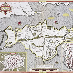
> Europe
> United Kingdom
> England
> Isle of Wight
> Brading
> Europe
> United Kingdom
> England
> Isle of Wight
> Newport
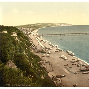
> Europe
> United Kingdom
> England
> Isle of Wight
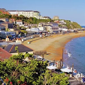
> Sandown
> Europe
> United Kingdom
> England
> Isle of Wight
> Ventnor
> Europe
> United Kingdom
> Wales
> Ceredigion
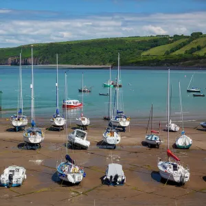
> New Quay
> Map Marketing
> Postcode Sector Maps
> PO - Portsmouth
MADE IN THE USA
Safe Shipping with 30 Day Money Back Guarantee
FREE PERSONALISATION*
We are proud to offer a range of customisation features including Personalised Captions, Color Filters and Picture Zoom Tools
SECURE PAYMENTS
We happily accept a wide range of payment options so you can pay for the things you need in the way that is most convenient for you
* Options may vary by product and licensing agreement. Zoomed Pictures can be adjusted in the Cart.