Home > Europe > United Kingdom > Wales > Monmouthshire > Abergavenny
Monmouthshire NP4 0 Map

![]()
Wall Art and Photo Gifts from Map Marketing
Monmouthshire NP4 0 Map
Postcode Sector Map of Monmouthshire NP4 0
Media ID 19977419
Alder Close Beech Lane Central Avenue Chester Close Chestnut Close Church Close Church Lane Cwm Road Eastway Fairfield Folly Lane Golf Road Hazel Close Heol Isaf Highfield Hillcrest Hillcrest Road Laburnum Drive Lancaster Road Larch Close Laurel Drive Link Road Maes Y Dderwen Maes Y Felin Meadow Bank Meadow Way Midway Monmouth Close Monmouthshire New Road Newport Road Northway Oak Tree Close Palm Close Parklands Pentre Lane Plough Road Poplar Avenue Prospect Place Russell Close School Lane Southway Springfield Terrace Star Road The Avenue The Highway The Walk Usk Road Warwick Close Wellfield Close Woodfield Road New Inn
FEATURES IN THESE COLLECTIONS
> Europe
> United Kingdom
> Wales
> Clwyd
> Europe
> United Kingdom
> Wales
> Gwent
> Newport
> Europe
> United Kingdom
> Wales
> Monmouthshire
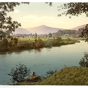
> Abergavenny
> Europe
> United Kingdom
> Wales
> Monmouthshire
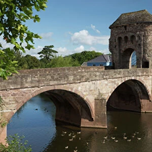
> Monmouth
> Europe
> United Kingdom
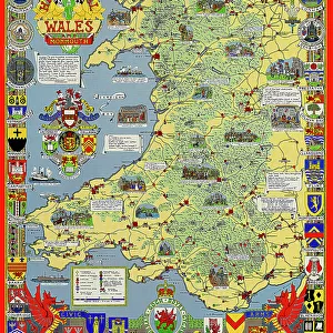
> Wales
> Monmouthshire
> Related Images
> Europe
> United Kingdom
> Wales
> Monmouthshire
> Usk
> Europe
> United Kingdom
> Wales
> Pembrokeshire
> Newport
> Map Marketing
> Postcode Sector Maps
> NP - Newport
> Maps and Charts
> Star Charts
MADE IN THE USA
Safe Shipping with 30 Day Money Back Guarantee
FREE PERSONALISATION*
We are proud to offer a range of customisation features including Personalised Captions, Color Filters and Picture Zoom Tools
SECURE PAYMENTS
We happily accept a wide range of payment options so you can pay for the things you need in the way that is most convenient for you
* Options may vary by product and licensing agreement. Zoomed Pictures can be adjusted in the Cart.