Home > Oceania > Australia > Maps
Photo Mug : Lines of Latitude 1683


![]()
Home Decor from Mary Evans Picture Library
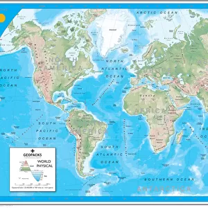
Lines of Latitude 1683
Showing Africa, Europe, Asia, part of Australia, the two hemispheres, the equator and the lines of Latitude. With Dutch text and listed as plate no.15 (?)
Mary Evans Picture Library makes available wonderful images created for people to enjoy over the centuries
Media ID 589252
© Mary Evans Picture Library 2015 - https://copyrighthub.org/s0/hub1/creation/maryevans/MaryEvansPictureID/10173765
1683 Equator Hemispheres Latitude Lines Listed Maps No 15
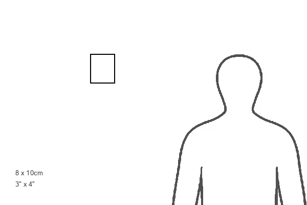
Photo Mug (11 oz)
Introducing the Media Storehouse Photo Mug, featuring an intriguing historical image from Mary Evans Picture Library. This captivating design, titled "Lines of Latitude 15" by Mary Evans Prints Online, showcases a fascinating representation of Africa, Europe, Asia, and part of Australia, with the two hemispheres, the equator, and the lines of latitude. The Dutch text adds an authentic touch to this vintage masterpiece. Bring a piece of history to your daily routine with this beautifully designed mug. Perfect for sipping your favorite beverage and reminiscing about the fascinating stories of exploration and discovery that lie within its borders.
A personalized photo mug blends sentimentality with functionality, making an ideal gift for cherished loved ones, close friends, or valued colleagues. Preview may show both sides of the same mug.
Elevate your coffee or tea experience with our premium white ceramic mug. Its wide, comfortable handle makes drinking easy, and you can rely on it to be both microwave and dishwasher safe. Sold in single units, preview may show both sides of the same mug so you can see how the picture wraps around.
Mug Size is 9.5cm high x 8cm diameter (3.7" x 3.1")
These are individually made so all sizes are approximate
FEATURES IN THESE COLLECTIONS
> Maps and Charts
> Early Maps
> Maps and Charts
> World
EDITORS COMMENTS
This stunning print from Mary Evans Picture Library showcases a historical map titled "Lines of Latitude 1683." The intricate details of this map include depictions of Africa, Europe, Asia, part of Australia, the two hemispheres, the equator, and various lines of latitude. With Dutch text scattered throughout the map and listed as plate no.15 (?), this piece offers a glimpse into the world as it was perceived in 1683.
The rich history and cultural significance embedded within this map make it a fascinating piece for any history enthusiast or cartography aficionado. The detailed illustrations provide a visual representation of how different regions were understood and connected during that time period.
As you study this map closely, you can appreciate the craftsmanship and attention to detail that went into creating such a comprehensive depiction of the world. From the intricate borders to the carefully labeled continents and oceans, every element serves a purpose in conveying information about our planet's geography.
Whether you are drawn to its historical significance or simply admire its aesthetic appeal, "Lines of Latitude 1683" is sure to captivate anyone who appreciates fine artistry and exploration through cartography.
MADE IN THE USA
Safe Shipping with 30 Day Money Back Guarantee
FREE PERSONALISATION*
We are proud to offer a range of customisation features including Personalised Captions, Color Filters and Picture Zoom Tools
SECURE PAYMENTS
We happily accept a wide range of payment options so you can pay for the things you need in the way that is most convenient for you
* Options may vary by product and licensing agreement. Zoomed Pictures can be adjusted in the Cart.