
Geological Map Collection
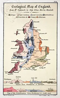
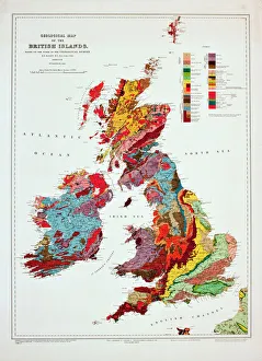
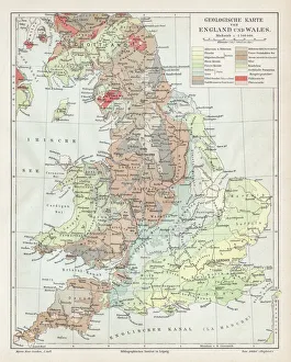
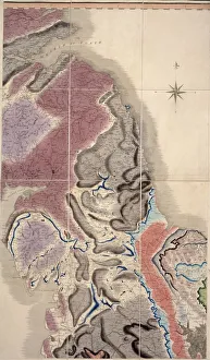
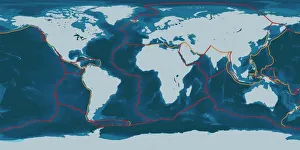
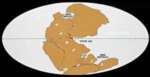
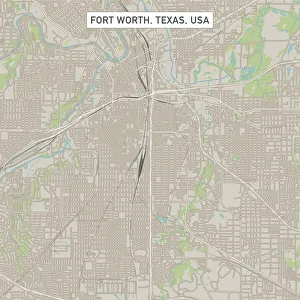
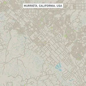
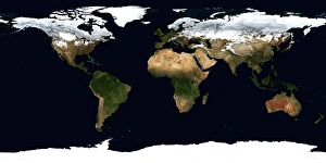
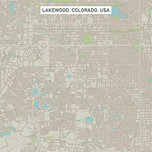
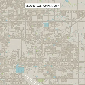
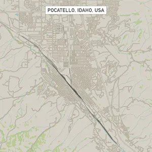
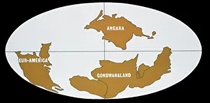
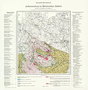
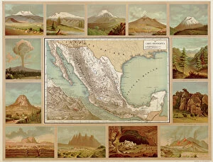
A geological map is a type of map that displays the distribution and characteristics of rocks, minerals, and other geological features in a particular area
Choose a picture from our Geological Map Collection for your Wall Art and Photo Gifts
587 items


All Professionally Made to Order for Quick Shipping
-
Geological Map Collection
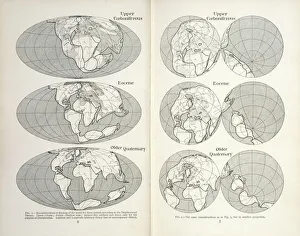
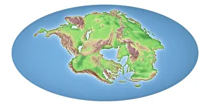
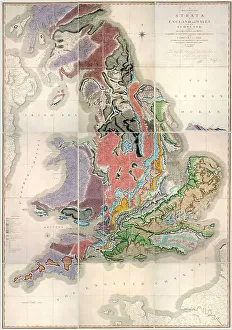
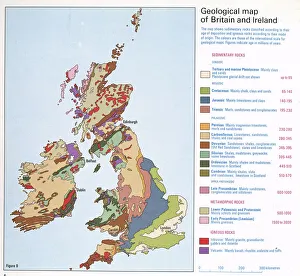
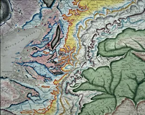
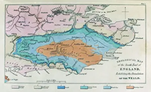
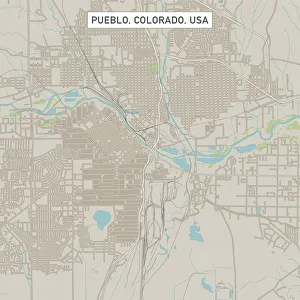
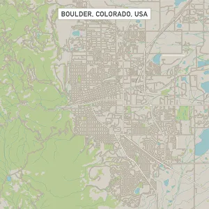
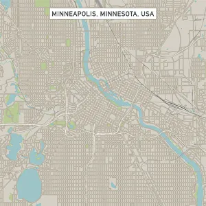
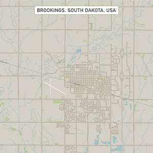
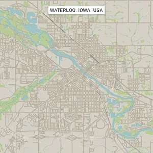
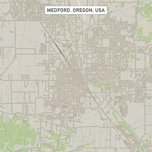
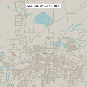
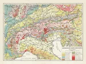
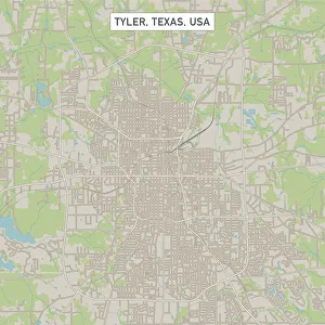
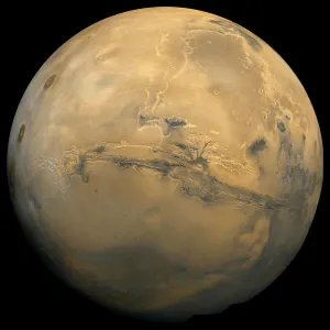
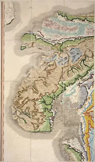
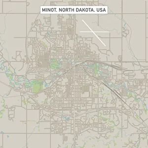
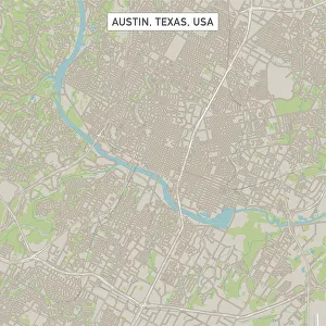
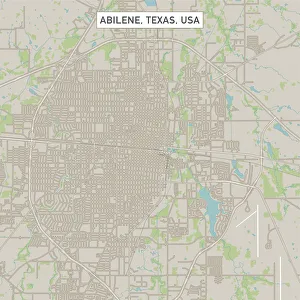
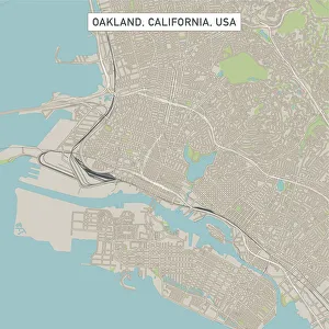
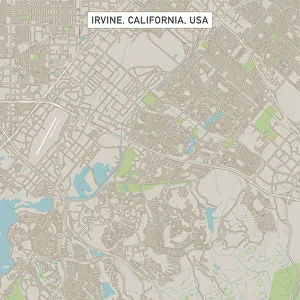
A geological map is a type of map that displays the distribution and characteristics of rocks, minerals, and other geological features in a particular area. It provides information about the age, composition, structure, and history of the Earth's crust, and are used by geologists to study the natural resources such as oil, gas or metals present in an area. They also help in identifying potential hazards like landslides or earthquakes. The colors on these maps represent different types of rock formations and geological structures which can be easily interpreted by experts. These maps provide valuable insights into our planet's past and present conditions for scientific research purposes.
+
Our beautiful pictures are available as Framed Prints, Photos, Wall Art and Photo Gifts
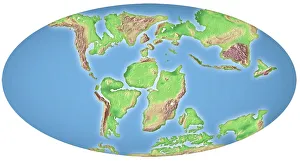
The Geological Map collection from Media Storehouse is a stunning selection of maps and charts that showcase the geological features of various regions around the world. Our collection includes vintage maps dating back to the 19th century, as well as modern interpretations of geological formations. These maps are available in a variety of sizes and formats, including canvas prints, framed prints, and posters. Each map in our collection provides an intricate view into the geology of its respective region. From mountain ranges to river systems, these maps offer a wealth of information about our planet's natural history. They are perfect for anyone interested in earth science or geography. Whether you're looking for wall art for your home or office space, or simply want to add to your personal collection, our Geological Map collection is sure to impress. With high-quality printing and attention to detail, these maps are both beautiful and informative works of art that will enhance any space they occupy.
+
What are Geological Map (Maps and Charts) art prints?
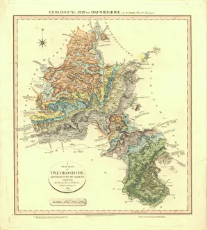
Geological map art prints are maps and charts that depict the geological features of a particular area. These prints showcase the various rock formations, mineral deposits, and other natural features that make up the landscape. They provide an excellent visual representation of the geology of an area and can be used for educational purposes or as decorative pieces in homes or offices. Geological map art prints come in a variety of styles, from highly detailed topographical maps to more abstract representations of geological data. Some prints may also include information about historical events or landmarks associated with the area being depicted. These prints are typically produced using high-quality printing techniques on archival-grade paper or canvas. This ensures that they will remain vibrant and beautiful for many years to come. Whether you're a geology enthusiast looking to add some unique decor to your home or office, or simply appreciate the beauty of nature's geological wonders, these art prints are sure to impress.
+
What Geological Map (Maps and Charts) art prints can I buy from Media Storehouse?
We offer a wide range of Geological Map art prints that are perfect for anyone interested in geology, geography or history. These maps and charts showcase the intricate details of various geological formations across different regions around the world. You can choose from an extensive collection of antique maps dating back to the 18th century, as well as modern-day maps featuring detailed topographical information. Some popular options include vintage geological maps of Europe, North America and Asia, highlighting key features such as mountain ranges, rivers and coastlines. There are also more specialized prints available which focus on specific areas such as volcanic activity or mineral deposits. Whether you're looking for a unique piece to decorate your home or office space with, or simply want to add to your collection of historical artifacts, we have something for everyone. With high-quality printing techniques used throughout their production process, these Geological Map art prints will be sure to impress any viewer with their stunning detail and accuracy.
+
How do I buy Geological Map (Maps and Charts) art prints?
To purchase Geological Map art prints from Media Storehouse, you can browse our extensive collection of maps and charts online. Once you have found the print that you would like to purchase, simply add it to your cart and proceed to checkout. You will be prompted to enter your shipping information and payment details before finalizing your order. We offer a variety of sizes for their prints, so make sure to select the size that best fits your needs. Additionally, we offer a range of framing options if you would like your print framed before delivery. If you have any questions or concerns about purchasing Geological Map art prints from Media Storehouse, our customer service team is available to assist you via email or phone. They are committed to providing high-quality products and excellent customer service throughout the entire buying process.
+
How much do Geological Map (Maps and Charts) art prints cost?
The cost of Geological Map art prints varies depending on the size, quality, and type of print. Generally, larger prints with higher resolution and better quality materials will be more expensive than smaller or lower-quality options. Additionally, some types of prints may come at a premium due to their unique features or production methods. When considering the cost of Geological Map art prints, it's important to keep in mind that these pieces are often considered collectibles or decorative items rather than functional maps. As such, they may have a higher price point than other types of maps or charts. Ultimately, the best way to determine the cost of Geological Map art prints is to browse available options from reputable sellers like Media Storehouse and compare prices based on your desired size and quality specifications. With careful research and consideration, you can find a beautiful piece that fits within your budget while adding value to your home or office decor.
+
How will my Geological Map (Maps and Charts) art prints be delivered to me?
We take great care in delivering your Geological Map art prints to you. We use high-quality packaging materials to ensure that your print arrives in perfect condition. Your print will be carefully rolled and placed into a sturdy tube for protection during transit. We work with trusted delivery partners who have years of experience in handling delicate items like art prints. Once your order is dispatched, you will receive an email notification with tracking information so that you can keep track of its progress. When it comes to receiving your print, we recommend unrolling it as soon as possible and laying it flat on a clean surface to allow any creases or curls from shipping to relax naturally. With our careful packaging and reliable delivery service, you can rest assured that your Geological Map art print will arrive safely at your doorstep ready for display.