Fraud Blocker Skip to main content

West Close Collection

Discover the charm of West Close: a collection of hidden gems across England

Background imageWest Close Collection: Stevenage SG1 1 Map

Stevenage SG1 1 Map
Postcode Sector Map of Stevenage SG1 1

Background imageWest Close Collection: Central Bedfordshire SG17 5 Map

Central Bedfordshire SG17 5 Map
Postcode Sector Map of Central Bedfordshire SG17 5

Background imageWest Close Collection: East Riding of Yorkshire HU15 2 Map

East Riding of Yorkshire HU15 2 Map
Postcode Sector Map of East Riding of Yorkshire HU15 2

Background imageWest Close Collection: Derby DE22 2 Map

Derby DE22 2 Map
Postcode Sector Map of Derby DE22 2

Background imageWest Close Collection: Wealden BN26 5 Map

Wealden BN26 5 Map
Postcode Sector Map of Wealden BN26 5

Background imageWest Close Collection: Wakefield WF6 2 Map

Wakefield WF6 2 Map
Postcode Sector Map of Wakefield WF6 2

Background imageWest Close Collection: North Yorkshire YO17 6 Map

North Yorkshire YO17 6 Map
Postcode Sector Map of North Yorkshire YO17 6

Background imageWest Close Collection: Cornwall TR13 8 Map

Cornwall TR13 8 Map
Postcode Sector Map of Cornwall TR13 8

Background imageWest Close Collection: Spelthorne TW15 3 Map

Spelthorne TW15 3 Map
Postcode Sector Map of Spelthorne TW15 3

Background imageWest Close Collection: New Forest SO41 8 Map

New Forest SO41 8 Map
Postcode Sector Map of New Forest SO41 8

Background imageWest Close Collection: Staffordshire ST16 3 Map

Staffordshire ST16 3 Map
Postcode Sector Map of Staffordshire ST16 3

Background imageWest Close Collection: Somerset TA24 6 Map

Somerset TA24 6 Map
Postcode Sector Map of Somerset TA24 6

Background imageWest Close Collection: Central Bedfordshire SG19 3 Map

Central Bedfordshire SG19 3 Map
Postcode Sector Map of Central Bedfordshire SG19 3

Background imageWest Close Collection: North Hertfordshire SG4 0 Map

North Hertfordshire SG4 0 Map
Postcode Sector Map of North Hertfordshire SG4 0

Background imageWest Close Collection: Cheshire East SK10 5 Map

Cheshire East SK10 5 Map
Postcode Sector Map of Cheshire East SK10 5

Background imageWest Close Collection: Wakefield WF8 3 Map

Wakefield WF8 3 Map
Postcode Sector Map of Wakefield WF8 3

Background imageWest Close Collection: East Riding of Yorkshire YO25 4 Map

East Riding of Yorkshire YO25 4 Map
Postcode Sector Map of East Riding of Yorkshire YO25 4

Background imageWest Close Collection: York YO41 5 Map

York YO41 5 Map
Postcode Sector Map of York YO41 5

Background imageWest Close Collection: Ealing UB6 9 Map

Ealing UB6 9 Map
Postcode Sector Map of Ealing UB6 9

Background imageWest Close Collection: Rotherham S61 3 Map

Rotherham S61 3 Map
Postcode Sector Map of Rotherham S61 3

Background imageWest Close Collection: Havering RM13 9 Map

Havering RM13 9 Map
Postcode Sector Map of Havering RM13 9

Background imageWest Close Collection: Isle of Wight PO41 0 Map

Isle of Wight PO41 0 Map
Postcode Sector Map of Isle of Wight PO41 0

Background imageWest Close Collection: Fenland PE15 8 Map

Fenland PE15 8 Map
Postcode Sector Map of Fenland PE15 8

Background imageWest Close Collection: Huntingdonshire PE28 4 Map

Huntingdonshire PE28 4 Map
Postcode Sector Map of Huntingdonshire PE28 4

Background imageWest Close Collection: Sussex PO22 7 Map

Sussex PO22 7 Map
Postcode Sector Map of Sussex PO22 7

Background imageWest Close Collection: Norfolk NR21 8 Map

Norfolk NR21 8 Map
Postcode Sector Map of Norfolk NR21 8

Background imageWest Close Collection: Rushcliffe NG12 5 Map

Rushcliffe NG12 5 Map
Postcode Sector Map of Rushcliffe NG12 5

Background imageWest Close Collection: Norfolk NR5 0 Map

Norfolk NR5 0 Map
Postcode Sector Map of Norfolk NR5 0

Background imageWest Close Collection: Enfield N9 9 Map

Enfield N9 9 Map
Postcode Sector Map of Enfield N9 9

Background imageWest Close Collection: Bedford MK41 0 Map

Bedford MK41 0 Map
Postcode Sector Map of Bedford MK41 0

Background imageWest Close Collection: Wigan M46 9 Map

Wigan M46 9 Map
Postcode Sector Map of Wigan M46 9

Background imageWest Close Collection: Leicester LE10 2 Map

Leicester LE10 2 Map
Postcode Sector Map of Leicester LE10 2

Background imageWest Close Collection: Northumberland NE65 0 Map

Northumberland NE65 0 Map
Postcode Sector Map of Northumberland NE65 0

Background imageWest Close Collection: Knowsley L34 2 Map

Knowsley L34 2 Map
Postcode Sector Map of Knowsley L34 2

Background imageWest Close Collection: Flintshire LL19 7 Map

Flintshire LL19 7 Map
Postcode Sector Map of Flintshire LL19 7

Background imageWest Close Collection: Kirklees HD2 1 Map

Kirklees HD2 1 Map
Postcode Sector Map of Kirklees HD2 1

Background imageWest Close Collection: Waverley GU27 3 Map

Waverley GU27 3 Map
Postcode Sector Map of Waverley GU27 3

Background imageWest Close Collection: Brent HA9 9 Map

Brent HA9 9 Map
Postcode Sector Map of Brent HA9 9

Background imageWest Close Collection: Waverley GU9 0 Map

Waverley GU9 0 Map
Postcode Sector Map of Waverley GU9 0

Background imageWest Close Collection: Exeter EX13 5 Map

Exeter EX13 5 Map
Postcode Sector Map of Exeter EX13 5

Background imageWest Close Collection: Barnet EN5 3 Map

Barnet EN5 3 Map
Postcode Sector Map of Barnet EN5 3

Background imageWest Close Collection: Enfield EN4 0 Map

Enfield EN4 0 Map
Postcode Sector Map of Enfield EN4 0

Background imageWest Close Collection: Broxbourne EN11 9 Map

Broxbourne EN11 9 Map
Postcode Sector Map of Broxbourne EN11 9

Background imageWest Close Collection: North Yorkshire DL8 2 Map

North Yorkshire DL8 2 Map
Postcode Sector Map of North Yorkshire DL8 2

Background imageWest Close Collection: County Durham DL4 1 Map

County Durham DL4 1 Map
Postcode Sector Map of County Durham DL4 1

Background imageWest Close Collection: Weymouth and Portland DT3 4 Map

Weymouth and Portland DT3 4 Map
Postcode Sector Map of Weymouth and Portland DT3 4

Background imageWest Close Collection: North Yorkshire DL10 6 Map

North Yorkshire DL10 6 Map
Postcode Sector Map of North Yorkshire DL10 6

Background imageWest Close Collection: Wirral CH43 9 Map

Wirral CH43 9 Map
Postcode Sector Map of Wirral CH43 9


All Professionally Made to Order for Quick Shipping

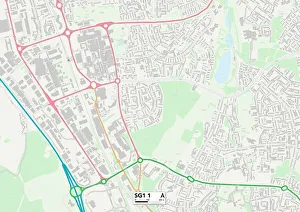
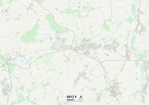
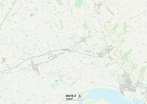
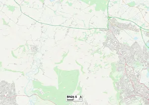
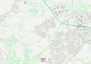
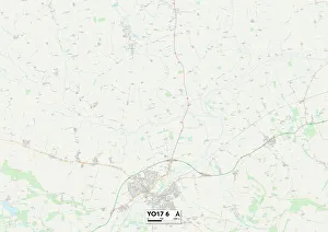
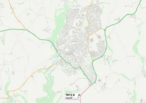
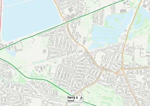
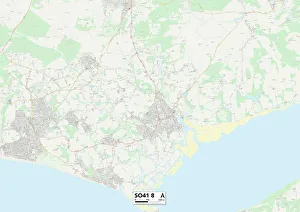
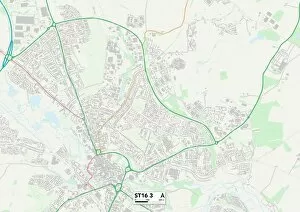
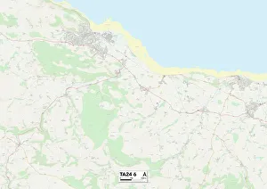
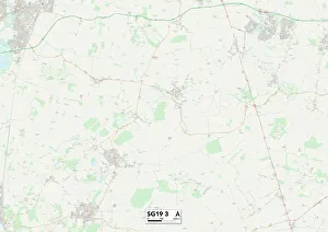
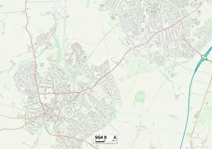
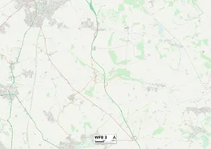
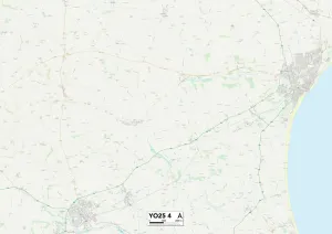
Discover the charm of West Close: a collection of hidden gems across England. From the historic town of Stevenage in Hertfordshire (SG1 1 Map) to the picturesque landscapes of East Riding of Yorkshire (HU15 2 Map), this region offers something for everyone. Explore the idyllic countryside in Wealden, Sussex (BN26 5 Map), or immerse yourself in history at Wakefield's intriguing landmarks (WF6 2 Map). For nature lovers, North Yorkshire's stunning scenery awaits you (YO17 6 Map), while Cornwall's rugged coastline will take your breath away (TR13 8 Map). Indulge in riverside walks and leisurely strolls through Spelthorne's charming towns and villages (TW15 3 Map). Escape to New Forest National Park for a tranquil retreat amidst ancient woodlands and wild ponies galore (SO41 8 Map). Uncover Staffordshire's rich heritage with its magnificent castles and historic sites that transport you back in time (ST16 3 map). For those seeking relaxation by the coast, Somerset’s coastal towns offer sandy beaches and breathtaking views over Exmoor National Park (TA24 6 map). Experience rural beauty at its finest as you explore Central Bedfordshire’s rolling hills and quaint villages (SG19 3 map). Finally, North Hertfordshire beckons with its charming market towns and scenic countryside trails (SG4 O map). Whether you're an adventure seeker or a culture enthusiast, it has it all. Embark on an unforgettable journey through these diverse locations that showcase England’s natural beauty, historical significance, and warm hospitality.