Fraud Blocker Skip to main content

Valley Close Collection

Discover the beauty of Valley Close, a hidden gem in Leeds LS17

Background imageValley Close Collection: Leeds LS17 7 Map

Leeds LS17 7 Map
Postcode Sector Map of Leeds LS17 7

Background imageValley Close Collection: Pendle BB9 8 Map

Pendle BB9 8 Map
Postcode Sector Map of Pendle BB9 8

Background imageValley Close Collection: Wigan WN6 7 Map

Wigan WN6 7 Map
Postcode Sector Map of Wigan WN6 7

Background imageValley Close Collection: New Forest SO45 1 Map

New Forest SO45 1 Map
Postcode Sector Map of New Forest SO45 1

Background imageValley Close Collection: Hartlepool TS26 0 Map

Hartlepool TS26 0 Map
Postcode Sector Map of Hartlepool TS26 0

Background imageValley Close Collection: Suffolk NR35 2 Map

Suffolk NR35 2 Map
Postcode Sector Map of Suffolk NR35 2

Background imageValley Close Collection: South Oxfordshire RG8 0 Map

South Oxfordshire RG8 0 Map
Postcode Sector Map of South Oxfordshire RG8 0

Background imageValley Close Collection: Brighton and Hove BN1 5 Map

Brighton and Hove BN1 5 Map
Postcode Sector Map of Brighton and Hove BN1 5

Background imageValley Close Collection: Redcar & Cleveland TS11 7 Map

Redcar & Cleveland TS11 7 Map
Postcode Sector Map of Redcar & Cleveland TS11 7

Background imageValley Close Collection: Stockton-on-Tees TS15 9 Map

Stockton-on-Tees TS15 9 Map
Postcode Sector Map of Stockton-on-Tees TS15 9

Background imageValley Close Collection: Cheshire East WA16 9 Map

Cheshire East WA16 9 Map
Postcode Sector Map of Cheshire East WA16 9

Background imageValley Close Collection: East Hertfordshire SG13 8 Map

East Hertfordshire SG13 8 Map
Postcode Sector Map of East Hertfordshire SG13 8

Background imageValley Close Collection: East Hertfordshire SG12 0 Map

East Hertfordshire SG12 0 Map
Postcode Sector Map of East Hertfordshire SG12 0

Background imageValley Close Collection: Tonbridge and Malling TN9 2 Map

Tonbridge and Malling TN9 2 Map
Postcode Sector Map of Tonbridge and Malling TN9 2

Background imageValley Close Collection: Pembrokeshire SA69 9 Map

Pembrokeshire SA69 9 Map
Postcode Sector Map of Pembrokeshire SA69 9

Background imageValley Close Collection: Hampshire PO7 5 Map

Hampshire PO7 5 Map
Postcode Sector Map of Hampshire PO7 5

Background imageValley Close Collection: Staffordshire ST7 2 Map

Staffordshire ST7 2 Map
Postcode Sector Map of Staffordshire ST7 2

Background imageValley Close Collection: Cornwall TR1 3 Map

Cornwall TR1 3 Map
Postcode Sector Map of Cornwall TR1 3

Background imageValley Close Collection: Teignbridge TQ14 9 Map

Teignbridge TQ14 9 Map
Postcode Sector Map of Teignbridge TQ14 9

Background imageValley Close Collection: North East Derbyshire S45 8 Map

North East Derbyshire S45 8 Map
Postcode Sector Map of North East Derbyshire S45 8

Background imageValley Close Collection: Wiltshire SP5 2 Map

Wiltshire SP5 2 Map
Postcode Sector Map of Wiltshire SP5 2

Background imageValley Close Collection: Stockport SK8 1 Map

Stockport SK8 1 Map
Postcode Sector Map of Stockport SK8 1

Background imageValley Close Collection: South Northamptonshire NN13 7 Map

South Northamptonshire NN13 7 Map
Postcode Sector Map of South Northamptonshire NN13 7

Background imageValley Close Collection: Tameside OL5 0 Map

Tameside OL5 0 Map
Postcode Sector Map of Tameside OL5 0

Background imageValley Close Collection: Berkshire RG4 7 Map

Berkshire RG4 7 Map
Postcode Sector Map of Berkshire RG4 7

Background imageValley Close Collection: Central Bedfordshire LU6 2 Map

Central Bedfordshire LU6 2 Map
Postcode Sector Map of Central Bedfordshire LU6 2

Background imageValley Close Collection: Liverpool L10 8 Map

Liverpool L10 8 Map
Postcode Sector Map of Liverpool L10 8

Background imageValley Close Collection: Ipswich IP1 4 Map

Ipswich IP1 4 Map
Postcode Sector Map of Ipswich IP1 4

Background imageValley Close Collection: Epping Forest IG10 3 Map

Epping Forest IG10 3 Map
Postcode Sector Map of Epping Forest IG10 3

Background imageValley Close Collection: Sefton L23 9 Map

Sefton L23 9 Map
Postcode Sector Map of Sefton L23 9

Background imageValley Close Collection: Waveney IP19 8 Map

Waveney IP19 8 Map
Postcode Sector Map of Waveney IP19 8

Background imageValley Close Collection: Harrow HA5 3 Map

Harrow HA5 3 Map
Postcode Sector Map of Harrow HA5 3

Background imageValley Close Collection: Stroud GL5 2 Map

Stroud GL5 2 Map
Postcode Sector Map of Stroud GL5 2

Background imageValley Close Collection: Exeter EX32 7 Map

Exeter EX32 7 Map
Postcode Sector Map of Exeter EX32 7

Background imageValley Close Collection: Epping Forest EN9 1 Map

Epping Forest EN9 1 Map
Postcode Sector Map of Epping Forest EN9 1

Background imageValley Close Collection: Wyre Forest DY11 5 Map

Wyre Forest DY11 5 Map
Postcode Sector Map of Wyre Forest DY11 5

Background imageValley Close Collection: Weymouth and Portland DT3 6 Map

Weymouth and Portland DT3 6 Map
Postcode Sector Map of Weymouth and Portland DT3 6

Background imageValley Close Collection: Tendring CO11 1 Map

Tendring CO11 1 Map
Postcode Sector Map of Tendring CO11 1

Background imageValley Close Collection: Dartford DA1 4 Map

Dartford DA1 4 Map
Postcode Sector Map of Dartford DA1 4

Background imageValley Close Collection: County Durham DL13 4 Map

County Durham DL13 4 Map
Postcode Sector Map of County Durham DL13 4

Background imageValley Close Collection: Colchester CO3 0 Map

Colchester CO3 0 Map
Postcode Sector Map of Colchester CO3 0

Background imageValley Close Collection: Bury BL8 1 Map

Bury BL8 1 Map
Postcode Sector Map of Bury BL8 1

Background imageValley Close Collection: North Somerset BS48 2 Map

North Somerset BS48 2 Map
Postcode Sector Map of North Somerset BS48 2

Background imageValley Close Collection: Lewes BN9 9 Map

Lewes BN9 9 Map
Postcode Sector Map of Lewes BN9 9

Background imageValley Close Collection: Christchurch BH23 2 Map

Christchurch BH23 2 Map
Postcode Sector Map of Christchurch BH23 2

Background imageValley Close Collection: BA Bath, BA5 2

BA Bath, BA5 2
BA5 2

Background imageValley Close Collection: B Birmingham, B97 5

B Birmingham, B97 5
B97 5

Background imageValley Close Collection: South Somerset BA21 4 Map

South Somerset BA21 4 Map
Postcode Sector Map of South Somerset BA21 4


All Professionally Made to Order for Quick Shipping

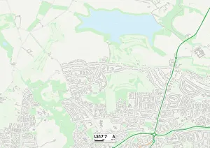
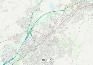
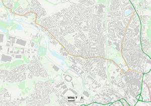
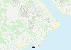
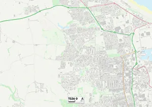
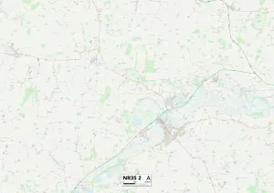
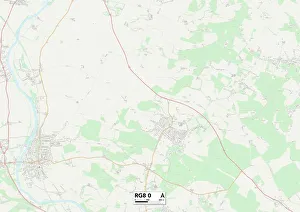
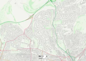
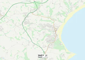
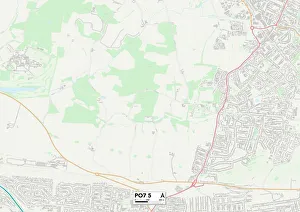
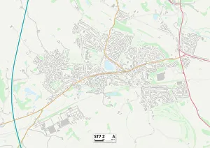
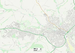
Discover the beauty of Valley Close, a hidden gem in Leeds LS17. Nestled amidst picturesque landscapes and surrounded by tranquility, this charming neighborhood offers a peaceful escape from the bustling city life. Explore the nearby Pendle BB9 8 Map and immerse yourself in its rich history and breathtaking views. Take a leisurely stroll through Wigan WN6 7 Map, where quaint streets lined with shops and cafes await you. Indulge in nature's wonders at New Forest SO45 1 Map, where lush greenery and wildlife thrive. Experience coastal bliss at Hartlepool TS26 0 Map, as you soak up the sun on sandy beaches or embark on thrilling water sports adventures. Uncover Suffolk NR35 2 Map's idyllic countryside charm, complete with rolling hills and charming villages that will steal your heart away. Immerse yourself in South Oxfordshire RG8 0 Map's enchanting beauty - explore historic landmarks or simply bask in the serenity of its surroundings. Discover vibrant culture at Brighton and Hove BN1 5 Map; wander along its iconic pier or indulge in delicious seafood delights. Redcar & Cleveland TS11 7 Map beckons with stunning coastline vistas that are perfect for long walks or picnics by the sea. Stockton-on-Tees TS15 9 Map invites you to experience riverside tranquility while enjoying scenic boat rides or exploring charming market towns nearby. Cheshire East WA16 9 Maps promises an enchanting blend of rural landscapes dotted with grand estates - ideal for those seeking peace and elegance combined into one destination. Winchester SO21 1 Maps is steeped in history; visit ancient cathedrals or lose yourself among beautiful gardens bursting with color.