
Urbanisation Collection
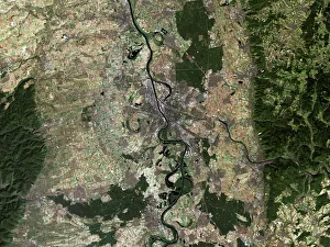
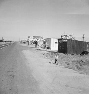
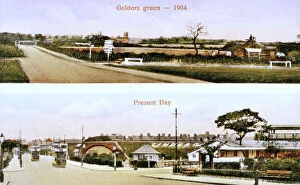
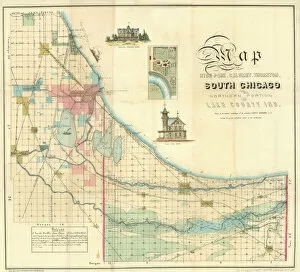
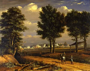
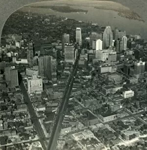
"Captivating Urbanisation: A Global Perspective" Sheffield, UK - An aerial image captures the dynamic growth of this industrial city


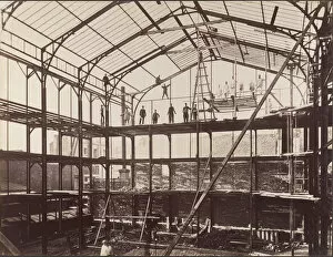
All Professionally Made to Order for Quick Shipping
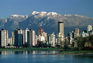
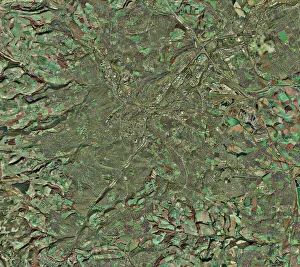
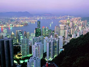
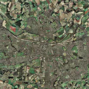
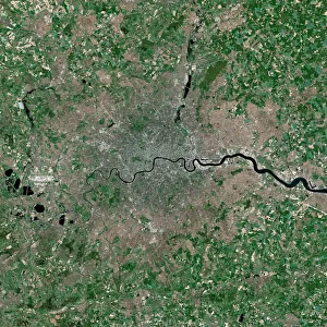
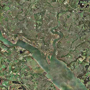
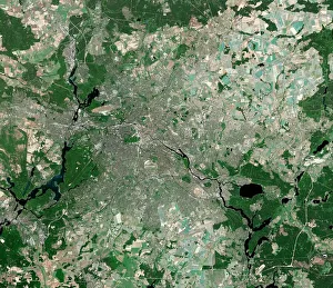
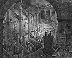
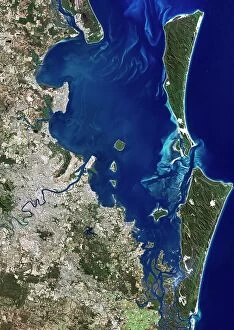
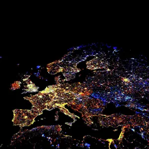
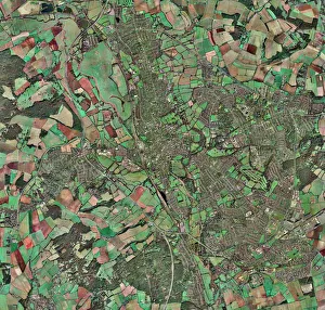
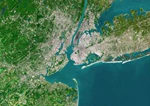
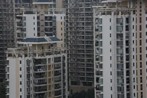
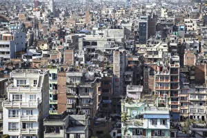
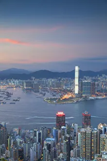
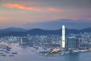
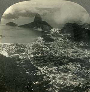
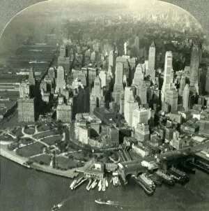
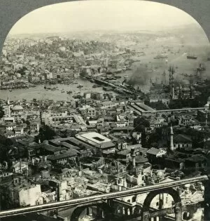
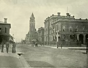
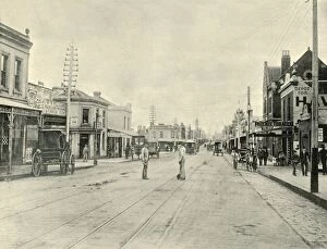
"Captivating Urbanisation: A Global Perspective" Sheffield, UK - An aerial image captures the dynamic growth of this industrial city, where urbanisation has transformed its landscape into a bustling metropolis. Vancouver, Canada - Behold the stunning view of this coastal gem; urbanisation harmoniously blends with nature as skyscrapers rise against a backdrop of majestic mountains and sparkling waters. Europe at night - Witness the mesmerizing satellite image showcasing Europe's vibrant cities illuminated by countless lights, symbolizing the continent's rapid urbanisation and thriving economies. Hong Kong at dawn - As day breaks over this iconic skyline, witness how urbanisation has shaped Hong Kong into an architectural marvel that seamlessly merges tradition with modernity. Swanley, Kent, England - From above, observe the main road that runs through this charming town in Kent; a testament to how even smaller communities contribute to the global phenomenon of urbanisation. India at night - This satellite image reveals India's transformation under the cloak of darkness; sprawling cities light up like constellations as urbanisation propels economic progress across diverse landscapes. Modica Italy's old town view – Step back in time amidst narrow cobblestone streets and ancient architecture; while surrounded by history, Modica showcases pockets untouched by modern-day urbanisation. South America at night – Gaze upon a breathtaking satellite image capturing South America’s nocturnal beauty; twinkling lights signify not only major cities but also emerging hubs embracing rapid urban development. London, UK – A bird’s-eye-view unveils London’s grandeur from above; centuries-old landmarks blend harmoniously with contemporary skyscrapers epitomising successful integration within an ever-changing world driven by relentless urbanisation Reading & Southampton (UK)– These two contrasting towns showcase different facets of British suburban life amid ongoing waves of urban expansion—a tale told through their unique architectural landscapes.