
Upper End Collection
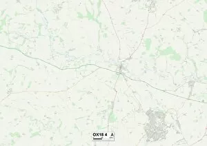
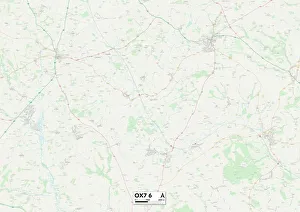
"Exploring the Upper End: A Journey through Maps and Engravings" Embark on a captivating journey to the Upper End, where history intertwines with picturesque landscapes


All Professionally Made to Order for Quick Shipping
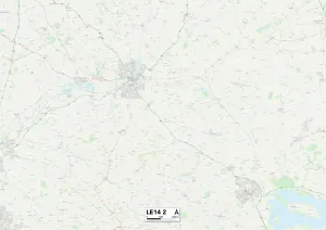
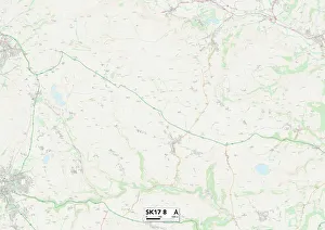
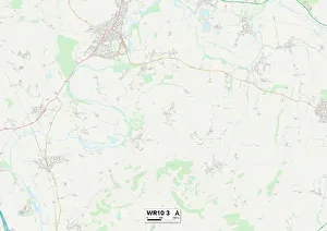
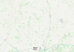
"Exploring the Upper End: A Journey through Maps and Engravings" Embark on a captivating journey to the Upper End, where history intertwines with picturesque landscapes. From Melton LE14 2 Map to Derbyshire Dales SK17 8 Map, this region boasts hidden gems waiting to be discovered. Immerse yourself in the tales of The Nile Expedition and witness its grandeur through an enchanting engraving. Marvel at The Manchester Water Scheme's engineering marvels as depicted in another intricate engraving. These glimpses into the past transport us back in time, offering a window into bygone eras. Capture the essence of spirituality at The Upper End of Via Dolorosa, portrayed beautifully in a black and white photograph. Let your imagination wander amidst Picturesque Scenery, Upper End of Central Park, as you soak up nature's tranquility frozen in time. Navigate through Wychavon WR10 3 Map or West Berkshire RG20 7 Map; these maps serve as guides for exploration enthusiasts seeking new adventures. Uncover the secrets held within West Oxfordshire OX18 4 Map and West Oxfordshire OX7 6 Map—maps that lead to breathtaking vistas awaiting discovery. Delve into artistry with Rafts, Upper End about 1850, 1935—a masterpiece crafted by Mr Mundy alongside Hills and Saunders. This artwork captures moments frozen between brushstrokes—an ode to simpler times when rafts sailed along tranquil waters. Witness nature's power firsthand with "Breaking Up of Ice in St John River, " Fredericton—an awe-inspiring engraving showcasing Mother Nature's might during seasonal transitions. The Upper End beckons explorers from all walks of life—a realm where maps guide our footsteps while engravings paint vivid pictures from centuries past. So venture forth and let curiosity be your compass as you uncover treasures nestled within this remarkable destination.