
Thorpe Road Collection
Thorpe Road is a diverse and well-connected street that stretches across various locations in the United Kingdom


All Professionally Made to Order for Quick Shipping
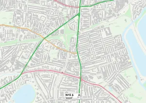
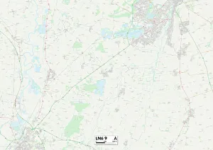
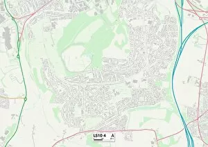
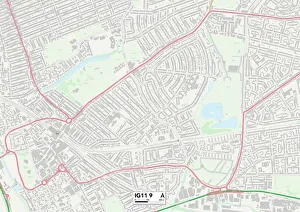
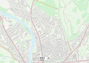
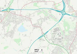
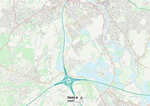
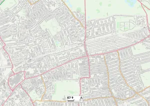
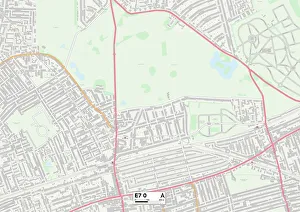
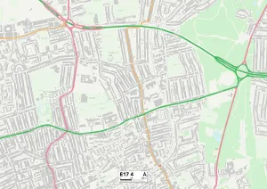
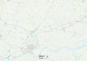
Thorpe Road is a diverse and well-connected street that stretches across various locations in the United Kingdom. From Haringey N15 6 to Rotherham S26 7, this road connects communities and offers a glimpse into the rich tapestry of British life. Starting in Haringey N15 6, Thorpe Road serves as a vital artery for residents, providing easy access to amenities and transport links. The bustling streets are filled with vibrant shops, cafes, and cultural hotspots that reflect the area's multicultural identity. Continuing on to Lincoln LN6 9, Thorpe Road takes us through picturesque landscapes and charming neighborhoods. Here, tranquility meets convenience as residents enjoy peaceful surroundings while still being within reach of essential services. As we move further north to Leeds LS10 4 Map, Thorpe Road becomes an integral part of this thriving cityscape. Its strategic location ensures quick connections to major highways and public transportation hubs. Residents can easily explore Leeds' renowned shopping districts or immerse themselves in its vibrant nightlife scene. Venturing eastward towards Barking and Dagenham IG11 9 Map showcases another facet of Thorpe Road's versatility. This area boasts a mix of residential properties alongside industrial zones, creating a dynamic environment where work-life balance thrives. Heading southwest to Kingston upon Thames KT2 5 Map reveals yet another dimension of Thorpe Road's charm. Nestled amidst stunning riverside views and historic landmarks like Hampton Court Palace, this stretch offers an idyllic setting for those seeking both natural beauty and urban conveniences. Leeds WF3 2 Map brings us back up north along Thorpe Road once again. This time it caters to suburban living with quiet neighborhoods characterized by green spaces perfect for families looking for peace away from the hustle-bustle of city life. Moving westwards towards Runnymede TW20 8 Map uncovers more hidden gems along Thorpe Road.