
Tectonics Collection
Tectonics, the fascinating study of Earth's ever-changing crust, unveils a world of continental drift through captivating maps and diagrams


All Professionally Made to Order for Quick Shipping
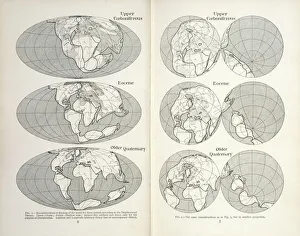
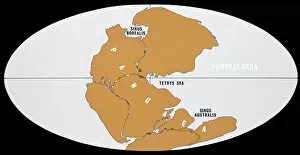
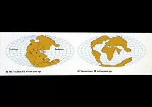
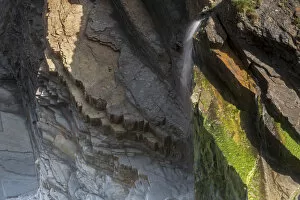
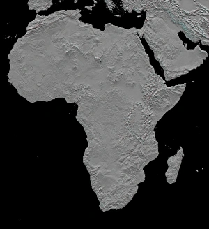
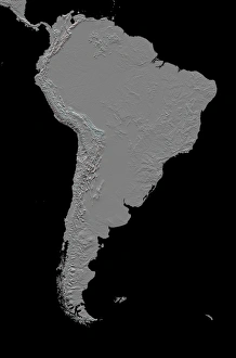
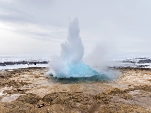
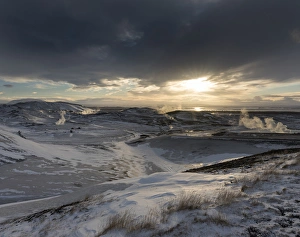
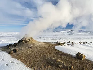
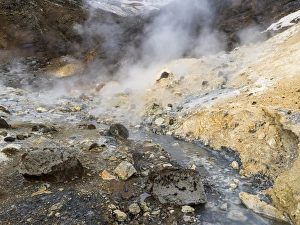
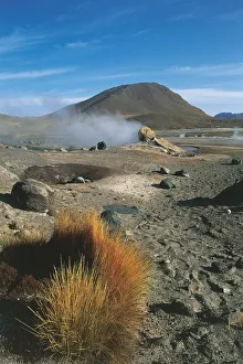
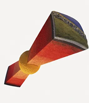
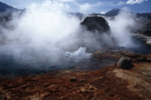
Tectonics, the fascinating study of Earth's ever-changing crust, unveils a world of continental drift through captivating maps and diagrams. Pioneered by Alfred Wegener, a brilliant German polar researcher in the early 20th century, this theory revolutionized our understanding of how landmasses have shifted over time. From Ecuador's enchanting Galapagos Islands to Morocco's majestic Atlas Mountains and Chile's breathtaking Los Flamencos National Reserve, evidence of tectonic activity is scattered across our planet. Witness Santiago Island's mesmerizing lava formations or explore the rugged beauty of Dades Gorges in Morocco's stunning Dades Valley. Journey to Chile's Antofagasta Region where you'll encounter the awe-inspiring Atacama Desert and Norte Grande region. Marvel at the tilted beds from Carboniferous times found in Culm Measures near Bude in sandy mouth—a testament to ancient geological forces shaping our landscapes for millions of years. As we delve into these remarkable locations and geological wonders worldwide, tectonics continues to unravel Earth’s extraordinary story with every layer it uncovers.