
Stanley Close Collection
Discover the charm of Stanley Close, a hidden gem tucked away in various corners of North Yorkshire, Wolverhampton, Somerset, Waverley, and more


All Professionally Made to Order for Quick Shipping
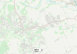
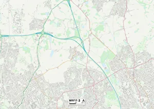
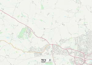
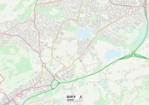
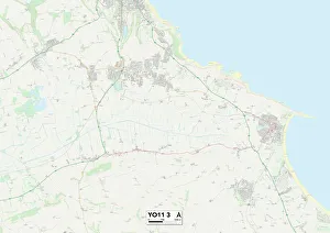
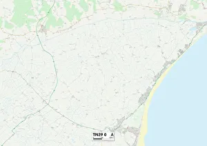
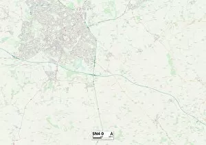
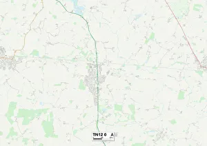
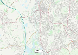
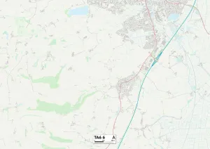
Discover the charm of Stanley Close, a hidden gem tucked away in various corners of North Yorkshire, Wolverhampton, Somerset, Waverley, and more. 📍🌍✨ From the picturesque landscapes of North Yorkshire DL9 4 Map to the vibrant streets of Wolverhampton WV11 2 Map, each location offers its own unique character and allure. Lose yourself in the tranquility of Somerset TA2 6 Map or explore the historic wonders of Waverley GU9 9 Map. Nature enthusiasts will be captivated by the breathtaking beauty that surrounds Stanley Close in North Yorkshire YO11 3 Map. Immerse yourself in lush greenery and embrace serenity like never before. For those seeking a bustling atmosphere with plenty to do and see, Stockton-on-Tees TS17 6 Map is your go-to destination. Experience vibrant city life while indulging in local delights. Shepway TN29 0 Map invites you to unwind amidst stunning coastal views - feel the sand between your toes as you take leisurely walks along pristine beaches. Swindon SN4 0 Map beckons with its rich history and cultural heritage. Explore museums and art galleries that showcase Swindon's fascinating past. Maidstone TN12 0 Map offers a perfect blend of old-world charm and modern amenities. Discover quaint shops nestled among charming architecture as you wander through this delightful town. Hillingdon UB8 2Map boasts an array of parks and green spaces where you can enjoy outdoor activities or simply relax under shady trees on warm summer days. Halton WA8 6Map welcomes visitors with open arms to experience its friendly community spirit alongside beautiful surroundings - immerse yourself in Halton's warmth. Last but not least, Hampshire PO12 4Map invites nature lovers to revel in its natural splendor - from rolling hills to enchanting forests; there's something for everyone.