Fraud Blocker Skip to main content

Smithy Lane Collection

"Discover the charm of Smithy Lane, a hidden gem nestled in various locations across the UK

Background imageSmithy Lane Collection: Lichfield WS13 7 Map

Lichfield WS13 7 Map
Postcode Sector Map of Lichfield WS13 7

Background imageSmithy Lane Collection: Cheshire East SK10 4 Map

Cheshire East SK10 4 Map
Postcode Sector Map of Cheshire East SK10 4

Background imageSmithy Lane Collection: Shropshire TF9 4 Map

Shropshire TF9 4 Map
Postcode Sector Map of Shropshire TF9 4

Background imageSmithy Lane Collection: Leeds LS16 7 Map

Leeds LS16 7 Map
Postcode Sector Map of Leeds LS16 7

Background imageSmithy Lane Collection: Gateshead NE9 7 Map

Gateshead NE9 7 Map
Postcode Sector Map of Gateshead NE9 7

Background imageSmithy Lane Collection: Kirklees HD8 9 Map

Kirklees HD8 9 Map
Postcode Sector Map of Kirklees HD8 9

Background imageSmithy Lane Collection: Wyre FY6 0 Map

Wyre FY6 0 Map
Postcode Sector Map of Wyre FY6 0

Background imageSmithy Lane Collection: Fylde FY8 3 Map

Fylde FY8 3 Map
Postcode Sector Map of Fylde FY8 3

Background imageSmithy Lane Collection: Cheshire West and Chester CW8 4 Map

Cheshire West and Chester CW8 4 Map
Postcode Sector Map of Cheshire West and Chester CW8 4

Background imageSmithy Lane Collection: Mendip BA11 1 Map

Mendip BA11 1 Map
Postcode Sector Map of Mendip BA11 1

Background imageSmithy Lane Collection: Cannock Chase WS15 4 Map

Cannock Chase WS15 4 Map
Postcode Sector Map of Cannock Chase WS15 4

Background imageSmithy Lane Collection: Wakefield WF4 4 Map

Wakefield WF4 4 Map
Postcode Sector Map of Wakefield WF4 4

Background imageSmithy Lane Collection: Leeds WF3 1 Map

Leeds WF3 1 Map
Postcode Sector Map of Leeds WF3 1

Background imageSmithy Lane Collection: Wigan WA3 7 Map

Wigan WA3 7 Map
Postcode Sector Map of Wigan WA3 7

Background imageSmithy Lane Collection: Cheshire West and Chester WA6 8 Map

Cheshire West and Chester WA6 8 Map
Postcode Sector Map of Cheshire West and Chester WA6 8

Background imageSmithy Lane Collection: Cheshire West and Chester WA6 0 Map

Cheshire West and Chester WA6 0 Map
Postcode Sector Map of Cheshire West and Chester WA6 0

Background imageSmithy Lane Collection: Cornwall TR3 6 Map

Cornwall TR3 6 Map
Postcode Sector Map of Cornwall TR3 6

Background imageSmithy Lane Collection: Staffordshire ST21 6 Map

Staffordshire ST21 6 Map
Postcode Sector Map of Staffordshire ST21 6

Background imageSmithy Lane Collection: Staffordshire ST18 9 Map

Staffordshire ST18 9 Map
Postcode Sector Map of Staffordshire ST18 9

Background imageSmithy Lane Collection: Staffordshire ST18 0 Map

Staffordshire ST18 0 Map
Postcode Sector Map of Staffordshire ST18 0

Background imageSmithy Lane Collection: Staffordshire ST17 0 Map

Staffordshire ST17 0 Map
Postcode Sector Map of Staffordshire ST17 0

Background imageSmithy Lane Collection: Staffordshire ST15 0 Map

Staffordshire ST15 0 Map
Postcode Sector Map of Staffordshire ST15 0

Background imageSmithy Lane Collection: Staffordshire ST10 3 Map

Staffordshire ST10 3 Map
Postcode Sector Map of Staffordshire ST10 3

Background imageSmithy Lane Collection: Tameside SK14 1 Map

Tameside SK14 1 Map
Postcode Sector Map of Tameside SK14 1

Background imageSmithy Lane Collection: Cheshire East SK11 0 Map

Cheshire East SK11 0 Map
Postcode Sector Map of Cheshire East SK11 0

Background imageSmithy Lane Collection: Cheshire East SK10 5 Map

Cheshire East SK10 5 Map
Postcode Sector Map of Cheshire East SK10 5

Background imageSmithy Lane Collection: Derbyshire Dales SK17 9 Map

Derbyshire Dales SK17 9 Map
Postcode Sector Map of Derbyshire Dales SK17 9

Background imageSmithy Lane Collection: Kennet SN9 5 Map

Kennet SN9 5 Map
Postcode Sector Map of Kennet SN9 5

Background imageSmithy Lane Collection: Trafford WA14 4 Map

Trafford WA14 4 Map
Postcode Sector Map of Trafford WA14 4

Background imageSmithy Lane Collection: Halton WA8 5 Map

Halton WA8 5 Map
Postcode Sector Map of Halton WA8 5

Background imageSmithy Lane Collection: Staffordshire ST10 1 Map

Staffordshire ST10 1 Map
Postcode Sector Map of Staffordshire ST10 1

Background imageSmithy Lane Collection: Staffordshire ST8 7 Map

Staffordshire ST8 7 Map
Postcode Sector Map of Staffordshire ST8 7

Background imageSmithy Lane Collection: Staffordshire ST5 5 Map

Staffordshire ST5 5 Map
Postcode Sector Map of Staffordshire ST5 5

Background imageSmithy Lane Collection: Staffordshire ST3 1 Map

Staffordshire ST3 1 Map
Postcode Sector Map of Staffordshire ST3 1

Background imageSmithy Lane Collection: Perth and Kinross PH12 8 Map

Perth and Kinross PH12 8 Map
Postcode Sector Map of Perth and Kinross PH12 8

Background imageSmithy Lane Collection: Fylde PR3 0 Map

Fylde PR3 0 Map
Postcode Sector Map of Fylde PR3 0

Background imageSmithy Lane Collection: Fylde PR4 4 Map

Fylde PR4 4 Map
Postcode Sector Map of Fylde PR4 4

Background imageSmithy Lane Collection: Boston PE22 8 Map

Boston PE22 8 Map
Postcode Sector Map of Boston PE22 8

Background imageSmithy Lane Collection: Argyllshire PA31 8 Map

Argyllshire PA31 8 Map
Postcode Sector Map of Argyllshire PA31 8

Background imageSmithy Lane Collection: Stockport SK6 5 Map

Stockport SK6 5 Map
Postcode Sector Map of Stockport SK6 5

Background imageSmithy Lane Collection: Oldham OL3 6 Map

Oldham OL3 6 Map
Postcode Sector Map of Oldham OL3 6

Background imageSmithy Lane Collection: Chorley PR6 8 Map

Chorley PR6 8 Map
Postcode Sector Map of Chorley PR6 8

Background imageSmithy Lane Collection: Trafford M31 4 Map

Trafford M31 4 Map
Postcode Sector Map of Trafford M31 4

Background imageSmithy Lane Collection: Charnwood LE12 5 Map

Charnwood LE12 5 Map
Postcode Sector Map of Charnwood LE12 5

Background imageSmithy Lane Collection: Leicester LE9 7 Map

Leicester LE9 7 Map
Postcode Sector Map of Leicester LE9 7

Background imageSmithy Lane Collection: Manchester M3 2 Map

Manchester M3 2 Map
Postcode Sector Map of Manchester M3 2

Background imageSmithy Lane Collection: Gateshead NE11 0 Map

Gateshead NE11 0 Map
Postcode Sector Map of Gateshead NE11 0

Background imageSmithy Lane Collection: Gateshead NE9 6 Map

Gateshead NE9 6 Map
Postcode Sector Map of Gateshead NE9 6


All Professionally Made to Order for Quick Shipping

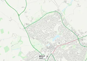
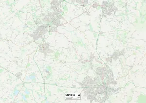
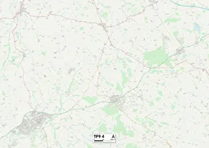
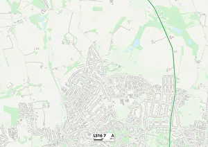
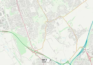
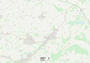
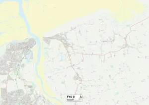
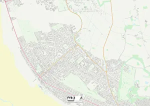
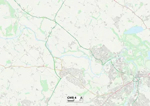
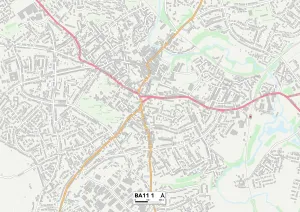
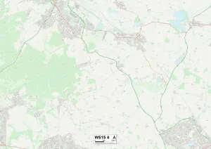
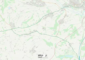
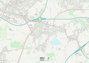
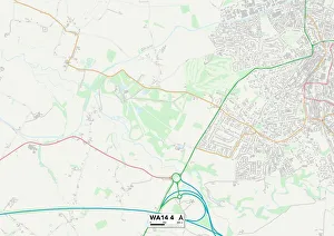
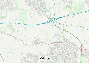
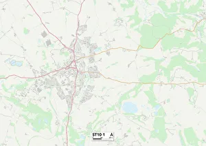
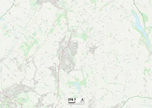
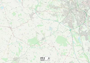
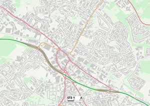
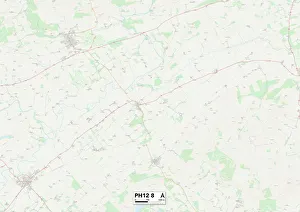
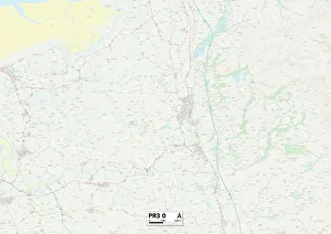
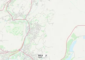
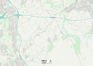
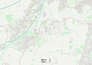
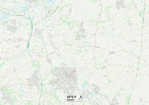
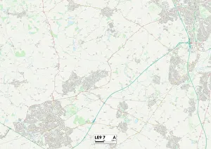
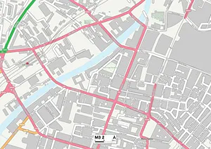
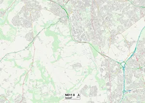
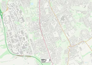
"Discover the charm of Smithy Lane, a hidden gem nestled in various locations across the UK. From Lichfield's picturesque WS13 7 Map to Cheshire East's tranquil SK10 4 Map, this enchanting lane winds its way through stunning landscapes. In Shropshire's TF9 4 Map, Smithy Lane invites you to explore its scenic beauty and immerse yourself in nature. The peaceful ambiance continues as you venture into Leeds' LS16 7 Map, where this idyllic lane offers a serene escape from bustling city life. Travel further north to Gateshead's NE9 7 Map and Kirklees' HD8 9 Map, where Smithy Lane reveals itself amidst breathtaking surroundings. Whether it be rolling hills or lush forests, each location showcases the unique allure of this beloved pathway. Head westward towards Wyre's FY6 0 Map and Fylde's FY8 3 Map for an unforgettable journey along Smithy Lane. These coastal destinations offer not only stunning views but also a chance to unwind by the sea while strolling along this charming route. As you make your way southwards, Cheshire West and Chester welcomes you with open arms at CW8 4 Map. Here, Smithy Lane intertwines history with natural beauty, providing an enriching experience for all who visit. Mendip beckons adventurers with its BA11 1 map location - a place where tranquility meets adventure on Smithy Lane. And finally, Cannock Chase at WS15 4 map awaits explorers seeking solace amidst ancient woodlands and captivating wildlife. Last but not least is Wakefield’s WF4-Map which completes our journey through the diverse landscapes that embrace Smithy Lane throughout the UK. " So pack your bags and embark on an unforgettable exploration of these remarkable destinations connected by one common thread - the enchanting allure of Smithy Lane.