
Roman Way Collection
"Discover the Roman Way: A Journey through History and Beauty" Embark on a captivating journey along the ancient Roman Way


All Professionally Made to Order for Quick Shipping
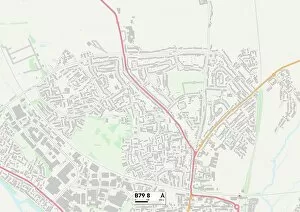
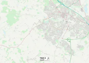
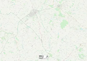
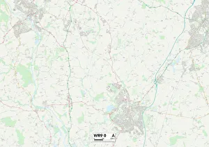
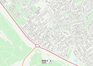
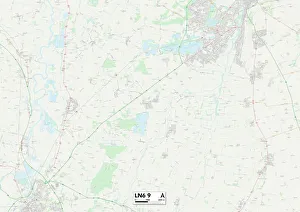
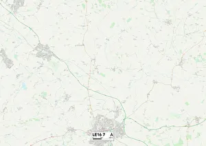
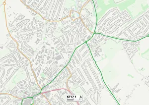
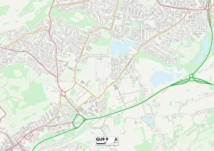
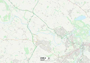
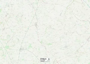
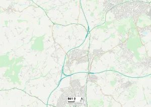
"Discover the Roman Way: A Journey through History and Beauty" Embark on a captivating journey along the ancient Roman Way, where history comes alive amidst breathtaking landscapes. Starting in Tamworth B79 8 Map, this enchanting route will take you through Ashford TN23 3 Map, Shropshire TF9 2 Map, Wychavon WR9 0 Map, New Forest SO45 4 Map, Lincoln LN6 9 Map, Harborough LE16 7 Map, Waverley GU9 9 Map and Cheshire West and Chester CW8 4 Map. Step back in time as you explore the remnants of Roman civilization scattered throughout these regions. From well-preserved ruins to awe-inspiring mosaics and grand amphitheaters - each destination offers a unique glimpse into an era long gone but not forgotten. Immerse yourself in the rich heritage of Stratford-on-Avon CV36 5Map as you wander through its charming streets lined with Tudor-style buildings. Marvel at Bristol BS9 1Map's iconic Clifton Suspension Bridge that stands tall over the Avon Gorge. Nature enthusiasts will be captivated by Bromsgrove B61 OMap's picturesque countryside dotted with rolling hills and quaint villages. The serene beauty of Waverley GU99Map invites leisurely walks along its tranquil waterways or hikes up its verdant hillsides. Indulge your taste buds with culinary delights along the way - from traditional English pubs serving hearty dishes to fine dining establishments offering exquisite cuisine made from locally sourced ingredients. Whether you're a history buff seeking ancient tales or simply looking for an escape into nature's embrace, follow the Roman Way for an unforgettable adventure filled with wonder and discovery. So grab your map and embark on this remarkable journey today.