Fraud Blocker Skip to main content

Relief Map Collection (page 3)

"Exploring the World's Diverse Landscapes: A Journey through Relief Maps" Embark on a captivating journey as we delve into the fascinating world of relief maps

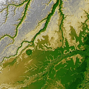
Background imageRelief Map Collection: The Bolivian Amazon

The Bolivian Amazon
September 13, 2002 - An 8-kilometer (5-mile) wide crater of possible impact origin is shown in this view of an isolated part of the Bolivian Amazon from the Shuttle Radar Topography Mission

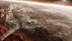
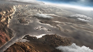
Background imageRelief Map Collection: A light fog forms in a desiccated gully in Gale Crater, Mars

A light fog forms in a desiccated gully in Gale Crater, Mars. The craters 5km high central mound can be seen in the background
Background imageRelief Map Collection: Topographic view of North America

Topographic view of North America
This image of North America was generated with data from the Shuttle Radar Topography Mission (SRTM). Active tectonics (structural deformation of the Earths crust) along and near the Pacific

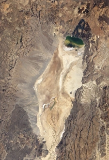
Background imageRelief Map Collection: Natural-color image of the north end of the Suguta Valley in Kenya

Natural-color image of the north end of the Suguta Valley in Kenya
January 10, 2011 - Natural-color image of the north end of the Suguta Valley in Kenya, including Logipi Lake. Suguta Valley is one of the driest places in Kenya

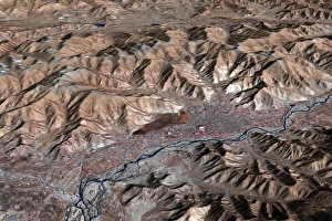
Background imageRelief Map Collection: Three-dimensional view of the landscape of Lhasa, Tibet

Three-dimensional view of the landscape of Lhasa, Tibet
November 24, 2005 - With an elevation of 3, 650 meters (11, 975 feet), Lhasa, Tibet is one of the highest elevation cities in the world

Background imageRelief Map Collection: Sri Lanka

Sri Lanka
February 2000 - The topography of the island nation of Sri Lanka is well shown in this color-coded shaded relief map generated with digital elevation data from the Shuttle Radar Topography Mission

Background imageRelief Map Collection: 3D rendering of planet Earth with clouds, centered on Africa

3D rendering of planet Earth with clouds, centered on Africa

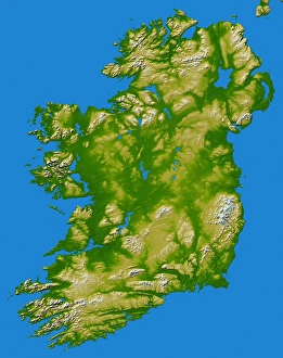
Background imageRelief Map Collection: Ireland

Ireland
February 2000 - The island of Ireland comprises a large central lowland of limestone with a relief of hills surrounded by a discontinuous border of coastal mountains which vary greatly in geological

Background imageRelief Map Collection: Natural-color satellite view of Amman, Jordan

Natural-color satellite view of Amman, Jordan
December 3, 2010 - Natural-color satellite view of Amman, Jordan. The city forms a rough V shape of gray. West of the city, the terrain is more rugged

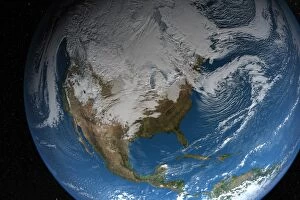
Background imageRelief Map Collection: Ful Earth showing simulated clouds over North America

Ful Earth showing simulated clouds over North America. The lighting of this scene is completely artistic and not scientifically accurate

Background imageRelief Map Collection: Topographic Map of Earth

Topographic Map of Earth

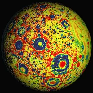
Background imageRelief Map Collection: Free-air lunar gravity globe

Free-air lunar gravity globe, centered on 120 degrees west longitude. Two satellites, named Ebb and Flow, used radio signals to precisely measure their separation as they flew in formation

Background imageRelief Map Collection: Lunar topography globe

Lunar topography globe
The Lunar Orbiter Laser Altimeter (LOLA) lunar topography globe, centered on 120 degrees west longitude. Two satellites, named Ebb and Flow

Background imageRelief Map Collection: Satellite image of the Greek island of Rhodes in the Aegean Sea

Satellite image of the Greek island of Rhodes in the Aegean Sea
August 26, 2011 - Satellite image of the Greek island of Rhodes in the Aegean Sea. Rhodes is the biggest island in the Greek Dodecanese chain

Background imageRelief Map Collection: Satellite view of Iceland

Satellite view of Iceland
May 20, 2012 - Satellite view of Iceland encircled by a halo of clouds in late springtime

Background imageRelief Map Collection: Southern Florida

Southern Florida
February 2000 - The very low topography of southern Florida is evident in this color-coded shaded relief map generated with data from the Shuttle Radar Topography Mission

Background imageRelief Map Collection: Aram Chaos, a crater shaped by catastrophic groundwater release, on the planet Mars

Aram Chaos, a crater shaped by catastrophic groundwater release, on the planet Mars
Aram Chaos, a crater shaped by catastrophic groundwater release, as it looks on present day Mars

Background imageRelief Map Collection: 3D rendering of planet Earth, centered on Europe

3D rendering of planet Earth, centered on Europe
3D rendering of planet Earth with clouds, centered on Europe

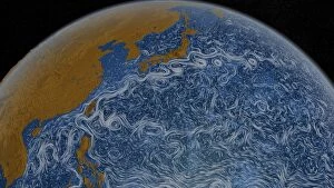
Background imageRelief Map Collection: This visualization shows ocean surface currents of the Kuroshio Current

This visualization shows ocean surface currents of the Kuroshio Current during the period from June 2005 through December 2007

Background imageRelief Map Collection: Full view of the Earth showing topographic data

Full view of the Earth showing topographic data
Full view of the Earth derived from AVHRR and topographic data

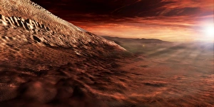
Background imageRelief Map Collection: Dark dunes march along the floor of Gale Crater, Mars

Dark dunes march along the floor of Gale Crater, Mars
Dark dunes march along the floor of Gale Crater, resting on the lower reaches of the craters central mound

Background imageRelief Map Collection: Satellite view of Tahiti

Satellite view of Tahiti
Natural-color image of Tahiti. This island is part of a volcanic chain formed by the northwestward movement of the Pacific Plate over a fixed hotspot

Background imageRelief Map Collection: A flooded Aram Chaos region on the planet Mars

A flooded Aram Chaos region on the planet Mars
Aram Chaos as it appeared early in Martian history. Subterranian water has filled the crater and is flowing through a channel to the bottom left

Background imageRelief Map Collection: Planet Earth inside supermarket trolley

Planet Earth inside supermarket trolley. Africa, Europe and Asia view, white background

Background imageRelief Map Collection: Stereoscopic view of South America

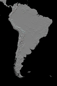
Stereoscopic view of South America
February 2000 - This anaglyph (stereoscopic view) of South America was generated with data from the Shuttle Radar Topography Mission (SRTM)

Background imageRelief Map Collection: Topographic view of Africa

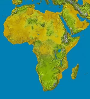
Topographic view of Africa
This color shaded relief image shows the extent of digital elevation data for Africa recently released by the Shuttle Radar Topography Mission (SRTM)

Background imageRelief Map Collection: Planet Earth with electric cable, plug and socket

Planet Earth with electric cable, plug and socket

Background imageRelief Map Collection: The Alpine fault along the west coast of New Zealand

The Alpine fault along the west coast of New Zealand
February 2000 - The Alpine fault runs parallel to, and just inland of, much of the west coast of New Zealands South Island

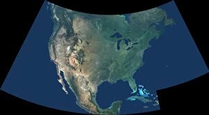
Background imageRelief Map Collection: North America

North America
This natural-color image of North America combines cloud-free data from over 500 Multi-angle Imaging SpectroRadiometer (MISR)

Background imageRelief Map Collection: 3D rendering of planet Earth, arctic view centered on North Pole

3D rendering of planet Earth, arctic view centered on North Pole
3D rendering of planet Earth with clouds, arctic view centered on North Pole

Background imageRelief Map Collection: Region of Provence-Alpes-Cote d Azur, France, Relief Map

Region of Provence-Alpes-Cote d Azur, France, Relief Map
Relief map of the departement of Alpes-Maritimes in Provence-Alpes-Cote d Azur, France. It includes the French Riviera coastline on the Mediterranean sea and the Southern area of the Alps

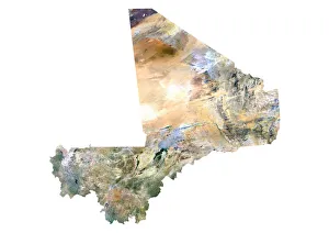
Background imageRelief Map Collection: Mali, Satellite Image

Mali, Satellite Image
Satellite view of Mali. This image was compiled from data acquired by LANDSAT satellite

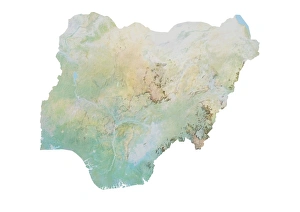
Background imageRelief Map Collection: Nigeria, Relief Map

Nigeria, Relief Map
Relief map of Nigeria. This map was processed from elevation data

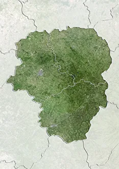
Background imageRelief Map Collection: Departement of Haute-Vienne, France, True Colour Satellite Image

Departement of Haute-Vienne, France, True Colour Satellite Image
Satellite view of the departement of Haute-Vienne in Limousin, France. This image was compiled from data acquired by LANDSAT 5 & 7 satellites

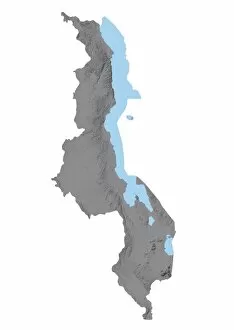
Background imageRelief Map Collection: Malawi, Relief Map

Malawi, Relief Map
Relief map of Malawi. This map was processed from elevation data

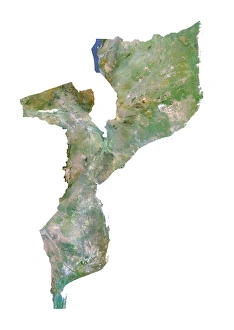
Background imageRelief Map Collection: Mozambique, Satellite Image

Mozambique, Satellite Image
Satellite view of Mozambique. This image was compiled from data acquired by LANDSAT satellite

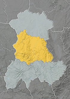
Background imageRelief Map Collection: Departement of Puy-de-Dome, France, Relief Map

Departement of Puy-de-Dome, France, Relief Map
Relief map of the departement of Puy-de-Dome in Auvergne, France. It is well-known for the Chaine-des-Puys, a north-south oriented chain of over 60 volcanoes

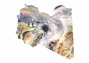
Background imageRelief Map Collection: Libya, Satellite Image

Libya, Satellite Image
Satellite view of Libya. This image was compiled from data acquired by LANDSAT satellite

Background imageRelief Map Collection: Ivory Coast, Relief Map

Ivory Coast, Relief Map
Relief map of Ivory Coast. This map was processed from elevation data

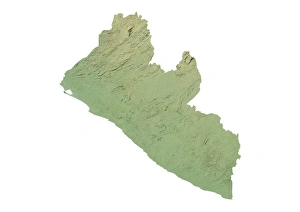
Background imageRelief Map Collection: Liberia, Relief Map

Liberia, Relief Map
Relief map of Liberia. This map was processed from elevation data

Background imageRelief Map Collection: Departement of Calvados, France, Relief Map

Departement of Calvados, France, Relief Map
Relief map of the departement of Calvados in Lower Normandy, France. Bordered by the English Channel to the north, it includes the famous seaside resort of Deauville

Background imageRelief Map Collection: Departement of Seine-Saint-Denis, France, True Colour Satellite Image

Departement of Seine-Saint-Denis, France, True Colour Satellite Image
Satellite view of the departement of Seine-Saint-Denis in Ile-de-France, France. This image was compiled from data acquired by LANDSAT 5 & 7 satellites

Background imageRelief Map Collection: Departement of Aisne, France, Relief Map

Departement of Aisne, France, Relief Map
Relief map of the departement of Aisne in Picardy, France. This image was compiled from data acquired by LANDSAT 5 & 7 satellites combined with elevation data

Background imageRelief Map Collection: Departement of Nievre, France, True Colour Satellite Image

Departement of Nievre, France, True Colour Satellite Image
Satellite view of the departement of Nievre in Burgundy, France. This image was compiled from data acquired by LANDSAT 5 & 7 satellites

Background imageRelief Map Collection: Departement of Hautes-Pyrenees, France, Relief Map

Departement of Hautes-Pyrenees, France, Relief Map
Relief map of the departement of Hautes-Pyrenees in Midi-Pyrenees, France. The southern part, along the border with Spain, is located in the Pyrenees mountain range

Background imageRelief Map Collection: Tunisia, Relief Map

Tunisia, Relief Map
Relief map of Tunisia. This map was processed from elevation data

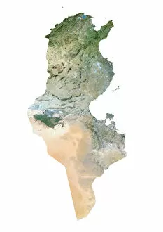
Background imageRelief Map Collection: Tunisia, Satellite Image

Tunisia, Satellite Image
Satellite view of Tunisia. This image was compiled from data acquired by LANDSAT satellite

Background imageRelief Map Collection: Papua New Guinea, Relief Map

Papua New Guinea, Relief Map
Relief map of Papua New Guinea in Oceania with country borders. This map was processed from elevation data


All Professionally Made to Order for Quick Shipping

"Exploring the World's Diverse Landscapes: A Journey through Relief Maps" Embark on a captivating journey as we delve into the fascinating world of relief maps, showcasing stunning landscapes from various corners of the globe. From Scotland's rugged terrain to Romania's enchanting beauty, these satellite images provide us with a unique perspective. Discover the intricacies of the United Kingdom and Eire through an intricate relief map that highlights its diverse topography. Meanwhile, in France's Departement of Ille-et-Vilaine, witness how this relief map unravels the region's breathtaking features. Take a step further and explore an illustration depicting the British Isles' remarkable relief map. Marvel at its mountains, valleys, and rivers that shape this picturesque landscape. Venture southward to Niger and Turkey where satellite images offer a glimpse into their distinctive terrains. Navigate through geographical elements such as compass rose, equator, Indian Ocean, and international dateline while exploring maps that showcase Melanesia’s charm. Witness how these elements intertwine with each other like puzzle pieces on our planet Earth rendered in 3D form centered around Africa and Europe. Travel across North America with a river and mountains map that unveils nature’s grandeur in this vast continent. Immerse yourself in history by examining antique maps featuring Algeria & Tunisia or Italy – capturing moments frozen in time. Through these mesmerizing relief maps spanning continents afar or lands close to home; one can truly appreciate Earth’s boundless beauty etched upon its surface for all to behold.