
Planisphere Collection (page 2)
A planisphere is a fascinating tool that has been used throughout history to map and navigate the world


All Professionally Made to Order for Quick Shipping
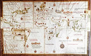
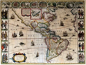
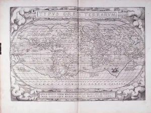
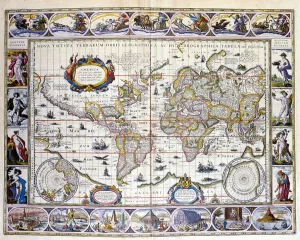
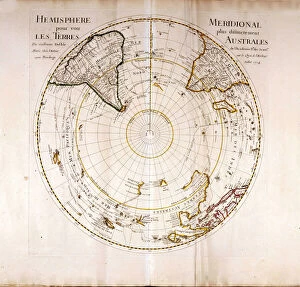
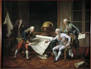
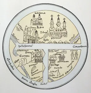
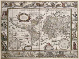
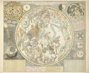
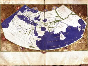
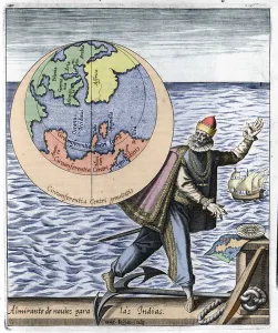
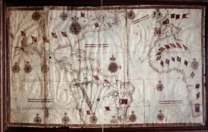
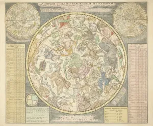
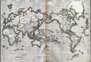
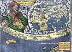
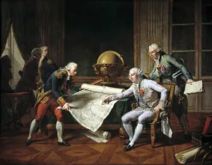
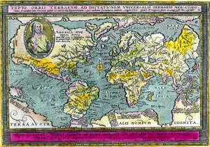
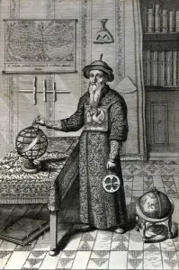
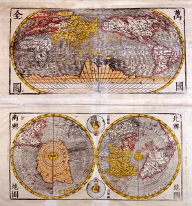
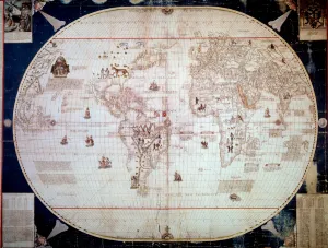
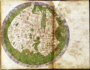
A planisphere is a fascinating tool that has been used throughout history to map and navigate the world. One notable example is the Fra Mauro map, created in 1460 by Italian cartographer Fra Mauro. What makes this map unique is its orientation, with South at the top instead of North. Another captivating depiction of celestial bodies can be found on Durer's Celestial Globe from 1515. This intricate globe showcases various constellations and their positions in the night sky. On the left side, we have a constellation map highlighting the northern hemisphere. Moving forward in time, we encounter Gerardus Mercator's Atlas from 1587. This comprehensive description of Earth provides valuable insights into geographical knowledge during that era. It was created by Rumold Mercator, Gerardus' son. Ptolemy's Map published in 1482 also deserves mention as it laid down significant foundations for cartography and geography. Its accuracy and attention to detail were highly regarded during Ptolemy's time. Jean Guerard, a French geographer, contributed to our understanding of hydrography with his Universal Hydrographic Map manuscript from 1734. This detailed work showcased water bodies around the world and played an essential role in maritime navigation. The Dauphin Map of the World from 1546 by Pierre Desceliers stands out due to its artistic beauty and precision. Created almost four centuries before modern technology allowed for accurate mapping techniques, this masterpiece demonstrates remarkable skill and craftsmanship. In contrast to these historical representations, Copernicus' model of the universe depicted in a 1661 engraving offers insight into how scientific advancements influenced our perception of space over time. Lastly, let us not forget about Farnese Palace's World Map Hall dating back to 1515-34; it serves as a testament to humanity's continuous quest for knowledge about our planet through cartography.