
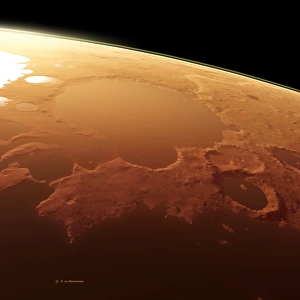
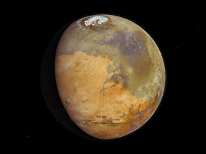
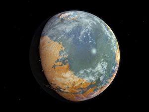
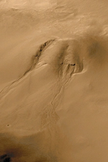
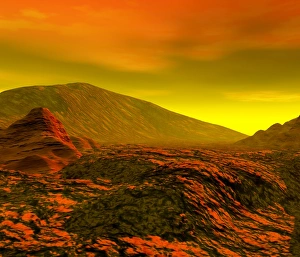
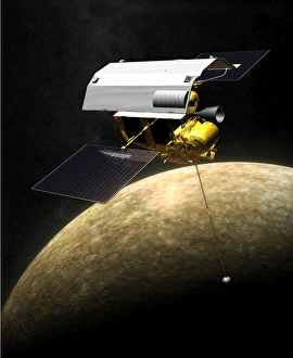
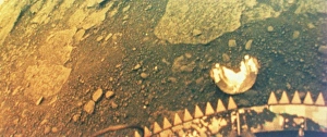
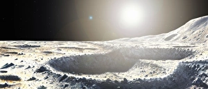
Planetary Collection (page 21)
"Exploring the Vastness of Planetary Wonders: A Journey Through Space and Time" Earthrise Photograph


All Professionally Made to Order for Quick Shipping
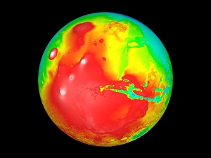
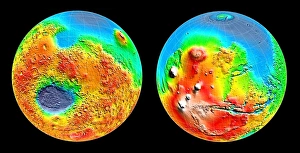
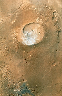
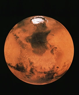
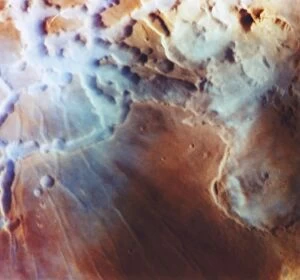
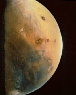
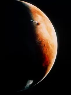
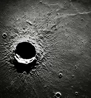
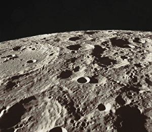
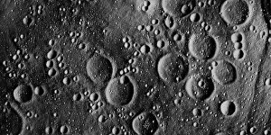
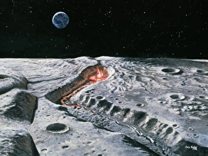
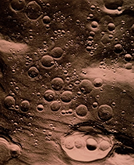
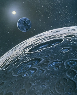
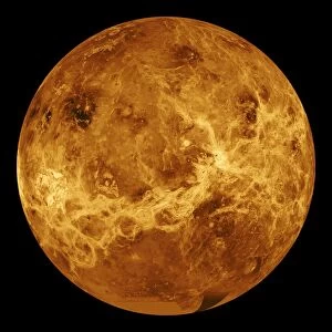
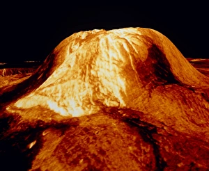
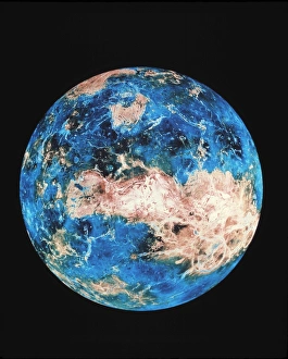
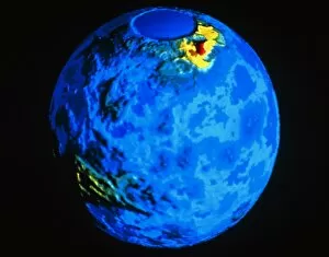
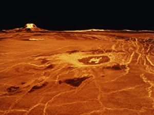
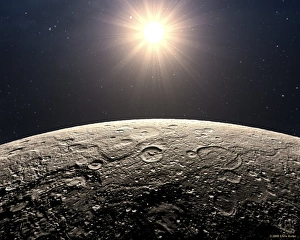
"Exploring the Vastness of Planetary Wonders: A Journey Through Space and Time" Earthrise Photograph: Witnessing the breathtaking beauty of our home planet as it rises above the lunar horizon, reminding us of its fragility and interconnectedness. Continental Drift after 250 Million Years: Marvel at the ever-changing face of our planet, where landmasses have shifted over millions of years, shaping continents as we know them today. Full Moon: Gaze upon the luminous celestial body that has captivated humanity for centuries, illuminating our nights with its ethereal glow. Solar System Artwork: Immerse yourself in an artistic representation showcasing the mesmerizing diversity and intricate dance of planets orbiting around our life-sustaining Sun. Neptune - Voyager 2 Image: Get a glimpse into the mysterious blue realm of Neptune captured by NASA's Voyager 2 spacecraft, unraveling secrets about this distant gas giant. Saturn & Its Moons - Voyager I Composite Image: Behold a composite image revealing Saturn's majestic rings adorned with six captivating moons, offering a glimpse into this ringed wonderland. Jupiter and Io - New Horizons Image: Explore Jupiter's immense size alongside one of its volcanic moons called Io through an image captured by NASA's New Horizons mission. Earth from Space - Satellite Image: Contemplate our pale blue dot suspended in space as seen from afar—a humbling reminder to cherish and protect our precious home amidst vast cosmic emptiness. Solar System Overview: Embark on a visual journey through our solar system, witnessing diverse worlds ranging from scorching deserts to icy realms teeming with potential for exploration. Phases of the Moon: Observe how Luna gracefully transitions between waxing crescents to full moons and waning gibbous phases—an eternal cycle that has guided civilizations throughout history. Moon Rising Over Earth's Horizon.