
Old Map Collection (page 4)
"Unveiling the Rich Tapestry of History: Exploring Old Maps from Around the World" Step back in time to 1768 with the James Craig Map of New Town, Edinburgh


All Professionally Made to Order for Quick Shipping
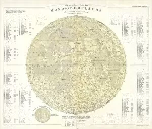
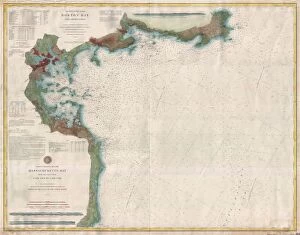
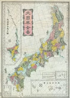
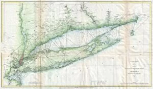
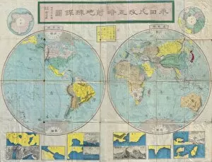
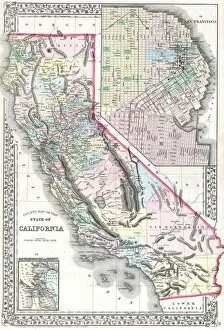
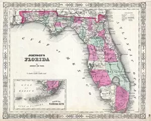
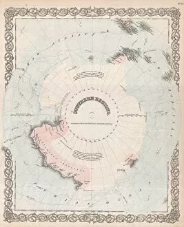
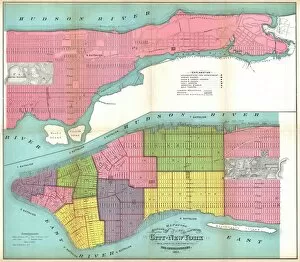
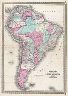
"Unveiling the Rich Tapestry of History: Exploring Old Maps from Around the World" Step back in time to 1768 with the James Craig Map of New Town, Edinburgh, Scotland - a fascinating glimpse into the birth of this iconic city's urban landscape. Delve into ancient Greece and its captivating islands through the intricate details of the 1794 Delisle Map - an invaluable resource for understanding Southern Ancient Greece and Crete's topography. Travel through County Durham circa 1777 as you unravel its hidden gems with a meticulously crafted County Map that showcases both its natural beauty and man-made landmarks. Embark on an astronomical journey with an 1886 Telescopic View and Map of the Moon - a stunning fusion of cartography, geography, and land exploration that unveils our celestial neighbor like never before. Uncover North America and South America's secrets through Visscher's remarkable 1658 map, which intricately captures their diverse topography while showcasing early advancements in cartographic techniques. Immerse yourself in Scandinavia's enchanting landscapes as depicted by Colton's exquisite 1855 map - an artistic marvel that brings Norway, Sweden, Finland to life while highlighting their unique topographical features. Trace ancient history across Greece, Macedonia, and Thrace prior to the Peloponnesian War using Spruner's detailed 1865 map - a treasure trove for historians seeking insights into this pivotal era’s topography. Navigate London’s bustling streets circa 1848 with Crutchley’s Pocket Map or Plan – a testament to England’s capital city’s ever-evolving nature captured through meticulous cartographic precision. Explore John Pinkerton’s renowned Pinkerton Map from1818 – your gateway to discovering Britain’s Isles' rich heritage encompassing England, Scotland & Ireland; it is truly a collector's delight.