
North Pole Collection (page 16)
"The Enigmatic North Pole: Unveiling the Mysteries of the Arctic Ocean" Embarking on a cartographic journey


All Professionally Made to Order for Quick Shipping
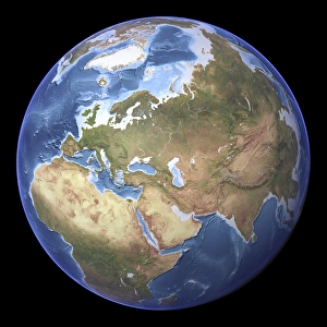
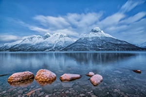
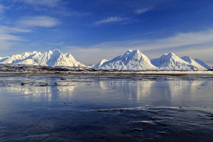
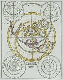
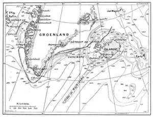
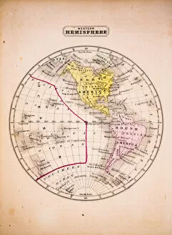
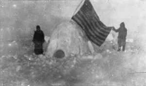
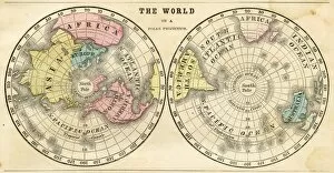
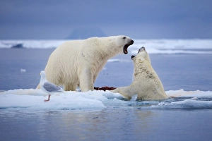
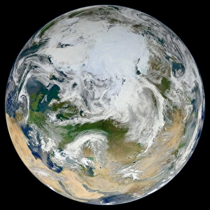
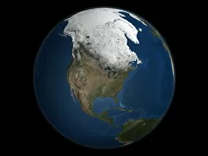
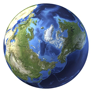
"The Enigmatic North Pole: Unveiling the Mysteries of the Arctic Ocean" Embarking on a cartographic journey, Oronce Fine's 1531 world map reveals an intriguing glimpse into the uncharted territory of the North Pole. A realm untouched by human presence, this polar region remains shrouded in enigma and fascination. In Beyond Man's Footsteps, Briton Riviere's 1894 artwork transports us to a desolate landscape where no people tread. The vastness of the North Pole unfolds before our eyes, reminding us of its ethereal beauty and untamed wilderness. Through Galileo's lens, we peer at the Moon from afar while Venus' radar map unveils secrets hidden within its icy terrain. These celestial explorations ignite our curiosity about what lies beyond Earth's boundaries. Satellite images capture Europe at night, illuminating bustling cities while leaving the North Pole untouched by human habitation. In contrast, North America glows with vibrant lights as civilization thrives below; yet still far removed from this remote arctic haven. The Arctic chill permeates every inch of this frozen expanse - an inhospitable environment that challenges even the hardiest adventurers, and is here that brave souls like those in Andree Expedition dared to venture forth into unknown territories. But amidst these harsh conditions emerges nature's breathtaking spectacle - The Northern Lights dance across Svensby Lyngen Alps in Tromsø Lapland Norway, casting an ethereal glow upon ice-covered landscapes. This captivating phenomenon reminds us that even in solitude, beauty can be found. History intertwines with nature as Ny-Ålesund showcases remnants of coal mining stream trains amidst tundra on Svalbard Island. This testament to human endeavor serves as a reminder that mankind has left its mark on even the most remote corners of our planet. As night falls over Southeast Asia captured through satellite imagery, it becomes evident how different worlds exist on our planet.