
Noaa Collection
"NOAA: Unveiling the Beauty and Mystery of Our Blue Marble" Step into a mesmerizing journey as NOAA, the National Oceanic and Atmospheric Administration


All Professionally Made to Order for Quick Shipping
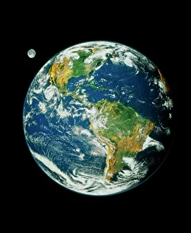
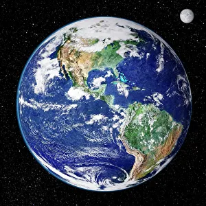
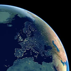
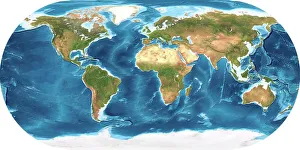
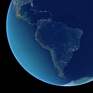
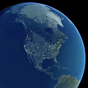
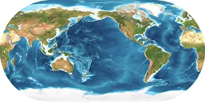
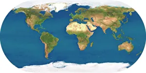
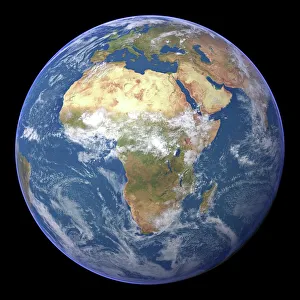
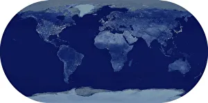
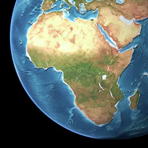
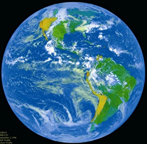
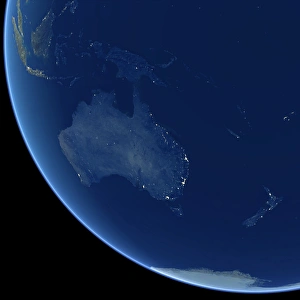
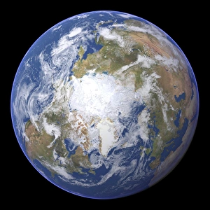
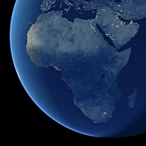
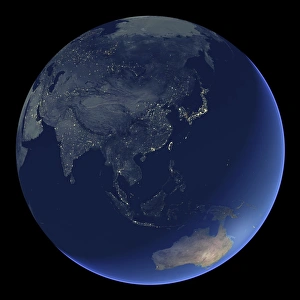
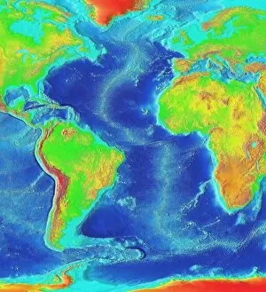
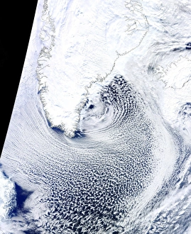
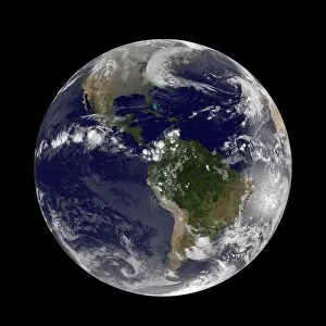
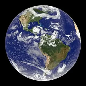
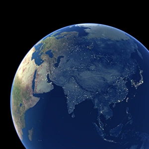
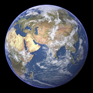
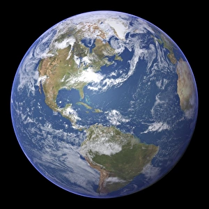
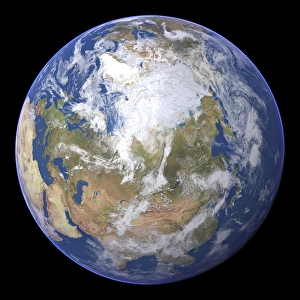
"NOAA: Unveiling the Beauty and Mystery of Our Blue Marble" Step into a mesmerizing journey as NOAA, the National Oceanic and Atmospheric Administration, takes us on an extraordinary exploration of our planet. From Whole Earth (Blue Marble 2000) to stunning satellite images capturing Earth from space, get ready to witness the awe-inspiring wonders that lie beneath our feet. Embark on a visual odyssey with topographic and bathymetric maps showcasing the intricate contours of our landmasses and ocean depths. Marvel at Europe's vibrant nocturnal glow in a captivating satellite image, where cities come alive like constellations against the dark canvas of night. Venturing further south, South America reveals its own enchanting spectacle when illuminated by city lights during nighttime. The vast expanse pulsates with energy as urban centers twinkle amidst nature's grandeur. As we shift focus towards North America at night, behold a tapestry woven by human civilization under starry skies. Witness how cities sprawl across this vast continent while natural landscapes retain their majestic allure even after dusk settles in. Returning to daylight hours, immerse yourself in Africa's breathtaking beauty through vivid satellite imagery. Discover its diverse ecosystems teeming with life – from lush rainforests to expansive deserts – all captured from above. Prepare for an unforgettable sight as NOAA presents us with Whole Earth at night; an ethereal panorama where continents shimmer like celestial bodies suspended in space. Gaze upon this cosmic masterpiece that reminds us of both humanity's interconnectedness and our shared responsibility for preserving this fragile planet we call home. Intricate details are unveiled once more through another striking satellite image of Whole Earth - reminding us just how small yet significant we are within this vast universe surrounding us. Delving deeper into Africa’s terrain via a topographic map allows us to appreciate its geological marvels; mountains rise majestically while rivers carve their paths through ancient landscapes.