
Neville Street Collection
Neville Street: A Journey Through Time and Space Step back in time with us as we explore the captivating history of Neville Street


All Professionally Made to Order for Quick Shipping
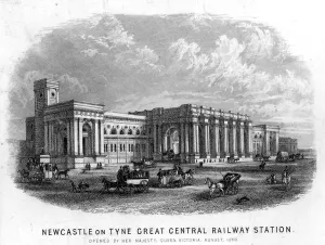
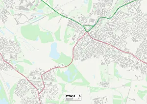
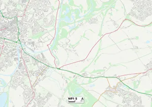
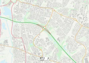
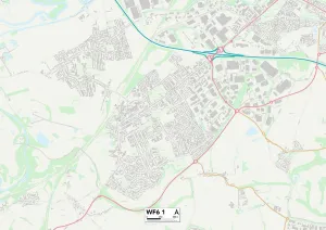
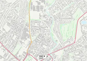
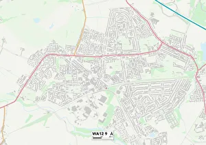
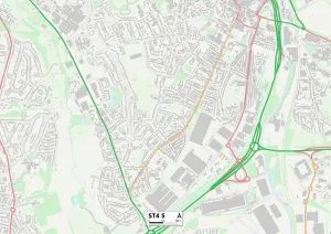
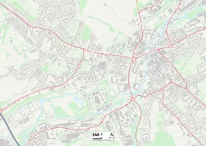
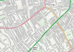
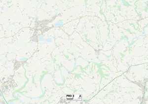
Neville Street: A Journey Through Time and Space Step back in time with us as we explore the captivating history of Neville Street. This iconic street, located in Newcastle-upon-Tyne, has witnessed countless stories unfold over the years. As we delve into the past, an engraving of the Great Central Railway Station takes us to a bygone era when steam trains ruled the tracks. The hustle and bustle of commuters and travelers fill our imaginations as we envision this vibrant transportation hub. Moving on from Newcastle, our journey takes us to Wigan WN2 3 Map and Wakefield WF1 5 Map. These maps serve as reminders that Neville Street was not just confined to one location but connected various towns and cities together. It acted as a lifeline for communities, allowing people to travel far and wide. Tamworth B77 2 Map beckons us next, reminding us that Neville Street's influence extended beyond its northern roots. This map reveals how it reached even further south, leaving its mark on different regions across England. A black-and-white photograph captures the essence of old-world charm at Newcastle's intersection between Neville Street and Westgate Road. The image transports us back in time, showcasing horse-drawn carriages navigating through cobblestone streets while pedestrians go about their daily lives. Wakefield WF6 1 Map leads our exploration further towards Yorkshire's historic city of York YO31 8 Map. These maps highlight how Neville Street played a pivotal role in connecting these two significant locations, fostering trade and cultural exchange along its route. St Helens WA12 9 Map reminds us that Neville Street was not limited to urban landscapes alone; it also traversed through picturesque countryside areas like Staffordshire ST4 5 Map. Its presence brought both prosperity and connectivity to rural communities throughout its course.