
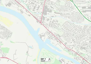
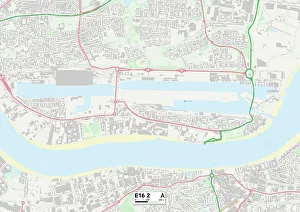
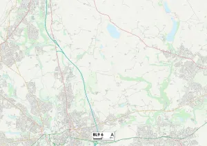
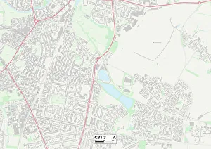
Mill Road Collection
Mill Road is a picturesque and diverse street that stretches across various regions of the United Kingdom


All Professionally Made to Order for Quick Shipping
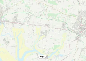
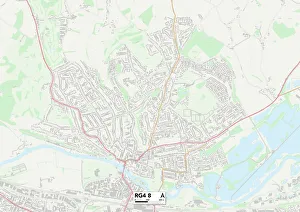
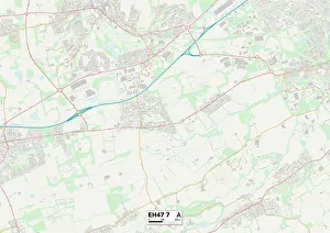
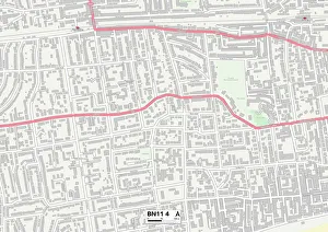
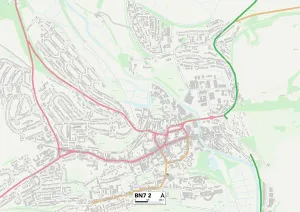
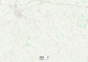
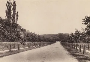
Mill Road is a picturesque and diverse street that stretches across various regions of the United Kingdom. From Sussex to West Lothian, this road connects communities and offers a glimpse into the rich history and natural beauty of these areas. Starting in Sussex, Mill Road in PO18 8 Map takes you through stunning countryside landscapes. The rolling hills and charming villages along the way create a tranquil atmosphere that is perfect for leisurely walks or scenic drives. As you continue your journey towards Worthing BN11 4 Map, Mill Road reveals its coastal charm. With breathtaking views of the sea, sandy beaches, and vibrant seaside towns, this stretch of the road invites visitors to relax by the shore or indulge in some fish and chips. Further north lies Lewes BN7 2 Map, where Mill Road winds through historic streets lined with timber-framed buildings. This town's rich heritage can be explored through its medieval castle, quaint shops selling local crafts, and traditional pubs serving delicious food. Heading east towards Berkshire RG4 8 Map brings you closer to bustling cities like Reading. Here on Mill Road, modernity meets tradition as contemporary architecture blends seamlessly with centuries-old landmarks such as churches and manor houses. Venturing further north into West Lothian EH47 7 Map unveils Scotland's rugged beauty. Surrounded by lush greenery and rolling hillsides dotted with sheep farms, this part offers an escape from urban life while still being within reach of Edinburgh's cultural delights. In Newmarket CB8 8 Map - known as the home of horse racing - Mill Road showcases equestrian elegance at every turn. The sound of hooves pounding against turf fills the air as racehorses train on nearby tracks while stables stand proudly along this iconic route. Continuing southwards towards Hampshire RG24 9 Map leads you to idyllic countryside scenery once again.