Fraud Blocker Skip to main content

Meadow Close Collection

Meadow Close is a picturesque residential area located in various parts of the UK

Background imageMeadow Close Collection: BL Bolton, BL3 1

BL Bolton, BL3 1
BL3 1

Background imageMeadow Close Collection: Wakefield WF1 3 Map

Wakefield WF1 3 Map
Postcode Sector Map of Wakefield WF1 3

Background imageMeadow Close Collection: South Somerset TA11 6 Map

South Somerset TA11 6 Map
Postcode Sector Map of South Somerset TA11 6

Background imageMeadow Close Collection: East Hertfordshire SG13 7 Map

East Hertfordshire SG13 7 Map
Postcode Sector Map of East Hertfordshire SG13 7

Background imageMeadow Close Collection: Wiltshire SN14 7 Map

Wiltshire SN14 7 Map
Postcode Sector Map of Wiltshire SN14 7

Background imageMeadow Close Collection: Kirklees WF17 0 Map

Kirklees WF17 0 Map
Postcode Sector Map of Kirklees WF17 0

Background imageMeadow Close Collection: South Oxfordshire OX10 9 Map

South Oxfordshire OX10 9 Map
Postcode Sector Map of South Oxfordshire OX10 9

Background imageMeadow Close Collection: Newport NP20 5 Map

Newport NP20 5 Map
Postcode Sector Map of Newport NP20 5

Background imageMeadow Close Collection: South Oxfordshire RG8 0 Map

South Oxfordshire RG8 0 Map
Postcode Sector Map of South Oxfordshire RG8 0

Background imageMeadow Close Collection: Sussex PO20 1 Map

Sussex PO20 1 Map
Postcode Sector Map of Sussex PO20 1

Background imageMeadow Close Collection: Norfolk NR14 8 Map

Norfolk NR14 8 Map
Postcode Sector Map of Norfolk NR14 8

Background imageMeadow Close Collection: Lincoln LN6 9 Map

Lincoln LN6 9 Map
Postcode Sector Map of Lincoln LN6 9

Background imageMeadow Close Collection: Harborough LE16 7 Map

Harborough LE16 7 Map
Postcode Sector Map of Harborough LE16 7

Background imageMeadow Close Collection: North Tyneside NE12 8 Map

North Tyneside NE12 8 Map
Postcode Sector Map of North Tyneside NE12 8

Background imageMeadow Close Collection: Barking and Dagenham IG11 9 Map

Barking and Dagenham IG11 9 Map
Postcode Sector Map of Barking and Dagenham IG11 9

Background imageMeadow Close Collection: Blackpool FY2 0 Map

Blackpool FY2 0 Map
Postcode Sector Map of Blackpool FY2 0

Background imageMeadow Close Collection: Wyre FY6 0 Map

Wyre FY6 0 Map
Postcode Sector Map of Wyre FY6 0

Background imageMeadow Close Collection: Coventry CV7 9 Map

Coventry CV7 9 Map
Postcode Sector Map of Coventry CV7 9

Background imageMeadow Close Collection: Colchester CO7 7 Map

Colchester CO7 7 Map
Postcode Sector Map of Colchester CO7 7

Background imageMeadow Close Collection: Copeland CA20 1 Map

Copeland CA20 1 Map
Postcode Sector Map of Copeland CA20 1

Background imageMeadow Close Collection: Tamworth B78 2 Map

Tamworth B78 2 Map
Postcode Sector Map of Tamworth B78 2

Background imageMeadow Close Collection: Mendip BA16 0 Map

Mendip BA16 0 Map
Postcode Sector Map of Mendip BA16 0

Background imageMeadow Close Collection: North Yorkshire YO11 3 Map

North Yorkshire YO11 3 Map
Postcode Sector Map of North Yorkshire YO11 3

Background imageMeadow Close Collection: York YO8 9 Map

York YO8 9 Map
Postcode Sector Map of York YO8 9

Background imageMeadow Close Collection: Shropshire WV16 5 Map

Shropshire WV16 5 Map
Postcode Sector Map of Shropshire WV16 5

Background imageMeadow Close Collection: Redcar & Cleveland TS14 6 Map

Redcar & Cleveland TS14 6 Map
Postcode Sector Map of Redcar & Cleveland TS14 6

Background imageMeadow Close Collection: Middlesbrough TS7 9 Map

Middlesbrough TS7 9 Map
Postcode Sector Map of Middlesbrough TS7 9

Background imageMeadow Close Collection: Trafford WA15 8 Map

Trafford WA15 8 Map
Postcode Sector Map of Trafford WA15 8

Background imageMeadow Close Collection: Cheshire West and Chester WA6 9 Map

Cheshire West and Chester WA6 9 Map
Postcode Sector Map of Cheshire West and Chester WA6 9

Background imageMeadow Close Collection: Worcester WR8 9 Map

Worcester WR8 9 Map
Postcode Sector Map of Worcester WR8 9

Background imageMeadow Close Collection: Worcester WR7 4 Map

Worcester WR7 4 Map
Postcode Sector Map of Worcester WR7 4

Background imageMeadow Close Collection: Worcester WR5 3 Map

Worcester WR5 3 Map
Postcode Sector Map of Worcester WR5 3

Background imageMeadow Close Collection: West Lancashire WN8 9 Map

West Lancashire WN8 9 Map
Postcode Sector Map of West Lancashire WN8 9

Background imageMeadow Close Collection: Wigan WN7 3 Map

Wigan WN7 3 Map
Postcode Sector Map of Wigan WN7 3

Background imageMeadow Close Collection: Shropshire SY11 2 Map

Shropshire SY11 2 Map
Postcode Sector Map of Shropshire SY11 2

Background imageMeadow Close Collection: Cornwall TR7 2 Map

Cornwall TR7 2 Map
Postcode Sector Map of Cornwall TR7 2

Background imageMeadow Close Collection: Hastings TN38 9 Map

Hastings TN38 9 Map
Postcode Sector Map of Hastings TN38 9

Background imageMeadow Close Collection: Richmond upon Thames TW10 7 Map

Richmond upon Thames TW10 7 Map
Postcode Sector Map of Richmond upon Thames TW10 7

Background imageMeadow Close Collection: New Forest SO40 9 Map

New Forest SO40 9 Map
Postcode Sector Map of New Forest SO40 9

Background imageMeadow Close Collection: Eastleigh SO32 2 Map

Eastleigh SO32 2 Map
Postcode Sector Map of Eastleigh SO32 2

Background imageMeadow Close Collection: Staffordshire ST13 5 Map

Staffordshire ST13 5 Map
Postcode Sector Map of Staffordshire ST13 5

Background imageMeadow Close Collection: Merton SW20 9 Map

Merton SW20 9 Map
Postcode Sector Map of Merton SW20 9

Background imageMeadow Close Collection: Shropshire SY1 4 Map

Shropshire SY1 4 Map
Postcode Sector Map of Shropshire SY1 4

Background imageMeadow Close Collection: Staffordshire ST21 6 Map

Staffordshire ST21 6 Map
Postcode Sector Map of Staffordshire ST21 6

Background imageMeadow Close Collection: Staffordshire ST20 0 Map

Staffordshire ST20 0 Map
Postcode Sector Map of Staffordshire ST20 0

Background imageMeadow Close Collection: Staffordshire ST19 5 Map

Staffordshire ST19 5 Map
Postcode Sector Map of Staffordshire ST19 5

Background imageMeadow Close Collection: Staffordshire ST19 9 Map

Staffordshire ST19 9 Map
Postcode Sector Map of Staffordshire ST19 9

Background imageMeadow Close Collection: Staffordshire ST11 9 Map

Staffordshire ST11 9 Map
Postcode Sector Map of Staffordshire ST11 9


All Professionally Made to Order for Quick Shipping

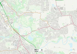
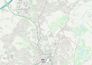
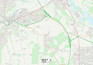
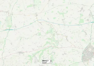
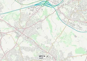
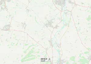
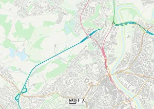
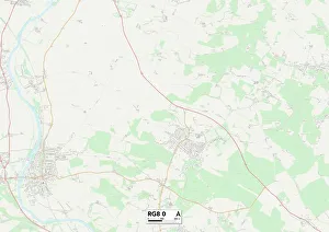
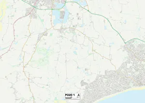
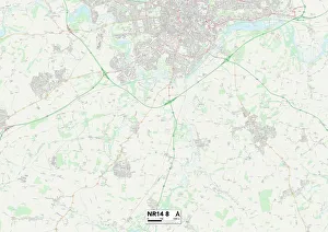
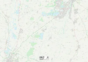
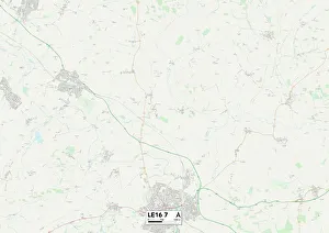
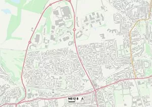
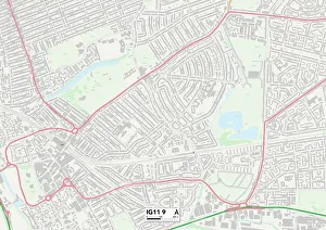
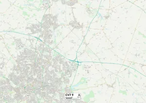
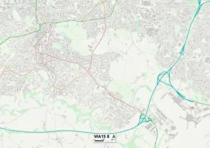
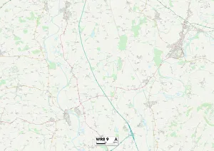
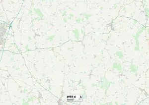
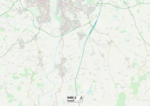
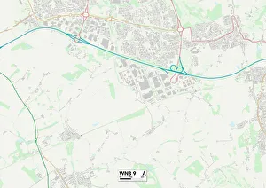
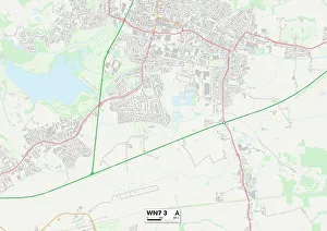
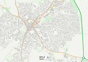
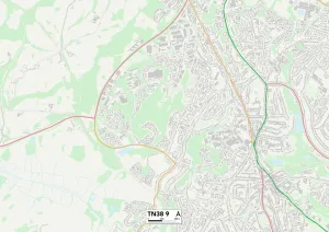
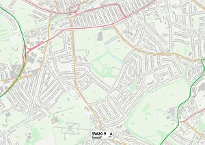
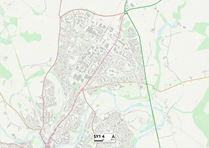
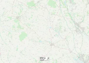
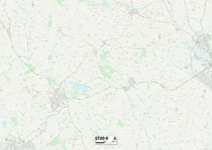
Meadow Close is a picturesque residential area located in various parts of the UK. From BL Bolton, BL3 1 to Wakefield WF1 3, this charming neighborhood can be found in different regions such as East Hertfordshire SG13 7 and Wiltshire SN14 With its serene surroundings and beautiful landscapes, it offers residents a peaceful retreat from the hustle and bustle of city life. Whether you're in Kirklees WF17 0 or South Oxfordshire OX10 9, Meadow Close provides a sense of tranquility that is hard to find elsewhere. The community's well-maintained gardens and green spaces make it an ideal place for families to enjoy outdoor activities or simply relax amidst nature's beauty. From Newport NP20 5 to South Oxfordshire RG8 0, Meadow Close boasts a convenient location with easy access to amenities such as schools, shops, and recreational facilities. Residents can explore nearby attractions like Sussex PO20 1 or take leisurely walks along the scenic paths that wind through Norfolk NR14 No matter where you are on the map - whether it's Lincoln LN6 9 or Harborough LE16 7 - Meadow Close offers a warm and welcoming atmosphere that fosters a strong sense of community spirit. Neighbors often come together for social events and gatherings, creating lasting friendships within this close-knit neighborhood.