Fraud Blocker Skip to main content

Maps Collection (page 5)

Maps have always been a fascinating window into the past, allowing us to explore and understand the world as it once was

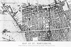
Background imageMaps Collection: Map of St Marylebone, London

Map of St Marylebone, London
Map of St Marylebone, from a plan of London published by Richard Phillips. Date: 1813

Background imageMaps Collection: Map of La Palma, Canary Islands

Map of La Palma, Canary Islands. Date: circa 1908

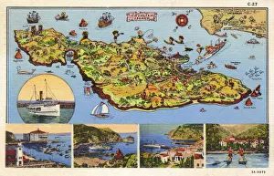
Background imageMaps Collection: Map, Santa Catalina Island, California, USA

Map, Santa Catalina Island, California, USA
Map of Santa Catalina Island, off the coast of California, USA, with inset scenes. 1935

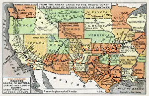
Background imageMaps Collection: Map, route of Santa Fe Railroad, USA

Map, route of Santa Fe Railroad, USA
Map showing the route of the Santa Fe Railroad, USA, from the Great Lakes in the east, to the Gulf of Mexico in the south, and the Pacific coast in the west

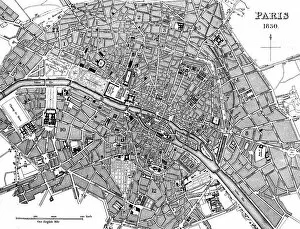
Background imageMaps Collection: Paris, France - City Map

Paris, France - City Map Date: 1830

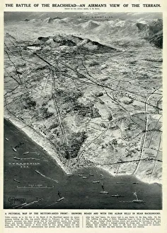
Background imageMaps Collection: Nettuno-Anzio Front, Italy, by G. H. Davis

Nettuno-Anzio Front, Italy, by G. H. Davis
The battle of the beachhead -- an airmans view of the terrain. A pictorial map of the Nettuno-Anzio Front, showing roads, with the Alban Hills in the background

Background imageMaps Collection: Birds-eye view of the Social London, 1914

Birds-eye view of the Social London, 1914
An aerial view of the two prestigious, social areas of London - Mayfair and Belgravia. In the foreground is Belgravia with its eastern frontier running down from Grosvenor Place

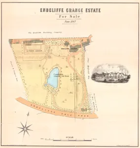
Background imageMaps Collection: Sale plan for the Endcliffe Grange Estate, Endcliffe Vale Road, 1867

Sale plan for the Endcliffe Grange Estate, Endcliffe Vale Road, 1867
Original at Sheffield Local Studies Library: Sale Plans 18 Jun 1867

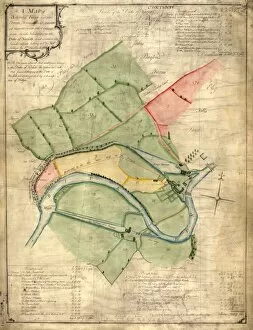
Background imageMaps Collection: A map of Attercliffe Forge and the Farm, Tenements etc annxed thereto

A map of Attercliffe Forge and the Farm, Tenements etc annxed thereto... belonging to the Duke of Norfolk
Includes references to River Don, weirs, Slitting Mill Dam [?Slitting Mill Lane], Brightside, John Parsons Farm, Bent Lane, Forge Dam, etc.Original at Sheffield Archives: ACM/MAPS/SheD/741

Background imageMaps Collection: Bacons Atlas of Great Britain - Sheffield, 1910

Bacons Atlas of Great Britain - Sheffield, 1910
Original at Local Studies S34S

Background imageMaps Collection: Map of Sheffield

Map of Sheffield
Undated but shows the old barracks so between 1792 and 1854.Scale 2 inches : 1 mile.Local Studies ref. S38S

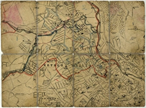
Background imageMaps Collection: Street map of Nether Hallam

Street map of Nether Hallam
Undated but before 1897 as it shows Hillsborough Hall and grounds which were acquired by the City Council in that year and the grounds opened as Hillsborough Park

Background imageMaps Collection: Plan of lands at Neepsend by The Sheffield Gas Company, 1929

Plan of lands at Neepsend by The Sheffield Gas Company, 1929
Original at Local Studies S22S

Background imageMaps Collection: Sheffield United Football Club, Bramall Lane, Sheffield - proposed new terracing, 1901

Sheffield United Football Club, Bramall Lane, Sheffield - proposed new terracing, 1901
Scale 20 feet : 1 inch.Architect: Archibald Leitch (1866 - 1939) 40 St Enoch Square, Glasgow, [Scotland].Original at Sheffield City Archives: CA206/5725

Background imageMaps Collection: South Yorkshire Asylum - also referred to as Wadsley Asylum later Middlewood Hospital - plan of

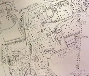
South Yorkshire Asylum - also referred to as Wadsley Asylum later Middlewood Hospital - plan of estate
Shows hospital buildings, including female and male wings, administrative block, nurses residence, laundry house and dining hall, as well as Airing courts, Drying Green, boiler buildings

Background imageMaps Collection: A new map of Yorkshire, divided into its ridings and wapentakes, exhibiting its roads, rivers

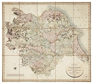
A new map of Yorkshire, divided into its ridings and wapentakes, exhibiting its roads, rivers, parks, etc
Scale 5 1/2 inches : 1 mile.Original at Sheffield Archives (NC/4/1)

Background imageMaps Collection: Norton, Derbyshire, surveyed by Joseph Dickinson, 1737

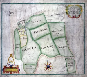
Norton, Derbyshire, surveyed by Joseph Dickinson, 1737
Full title: A map of all the lands belonging to Robert Newton esquire at Norton in the County of Derby, surveyed by Joseph Dickinson

Background imageMaps Collection: Pictorial Map of Yorkshire, BR poster, 1949

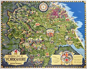
Pictorial Map of Yorkshire, BR poster, 1949
Poster produced by British Railways (BR) to promote train services to and within Yorkshire. Artwork by Estra Clark

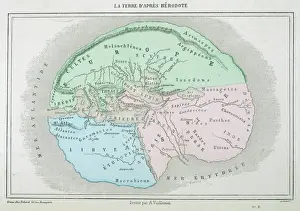
Background imageMaps Collection: Maps / World / Herodotus

Maps / World / Herodotus
The world as known to Herodotus

Background imageMaps Collection: Plan of Rockingham Street, Division Street, Rockingham Lane and Carver Street, Sheffield, 1829

Plan of Rockingham Street, Division Street, Rockingham Lane and Carver Street, Sheffield, 1829
Full title: Plan of certain building land the property of Messrs Brittain, Wilkinson and Brownell. Steel furnaces, cutlers shops and warehouse marked. Surveyed and drawn by J. Fairbank and Son

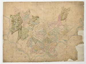
Background imageMaps Collection: The Duke of Norfolks estates in Brightside Bierlow, Sheffield, [mid 19th cent]

The Duke of Norfolks estates in Brightside Bierlow, Sheffield, [mid 19th cent]
From an original at Sheffield Libraries: arc03909

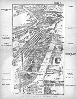
Background imageMaps Collection: Map of the Pall Mall area of London

Map of the Pall Mall area of London
Map of the Charing Cross, Pall Mall and Pimlico area of central London showing, the famous thoroughfare of Pall Mall with its numerous club houses

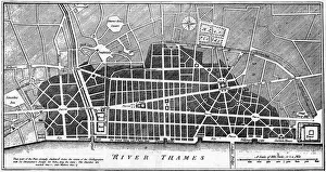
Background imageMaps Collection: Maps Wrens London

Maps Wrens London
Christopher Wren seizes the opportunity of the Great Fire to draw up plans for a brave new London - which alas will be only partially realised. Date: 1666

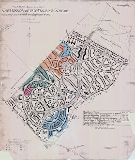
Background imageMaps Collection: Preliminary layout and development plan of the Manor Estate Housing Scheme, 1924

Preliminary layout and development plan of the Manor Estate Housing Scheme, 1924
Sheffield City Council, Estates Committee.Original dimensions: 93 x 79 cm.Sheffield Local Studies Library:s (13) 4 L

Background imageMaps Collection: Sheffield (Central) Planning Scheme; Draft Scheme Map, 1939

Sheffield (Central) Planning Scheme; Draft Scheme Map, 1939
Published by Sheffield City Council.Scale 200 feet : 1 inch.Original at Sheffield Local Studies Library:s (39) L

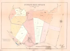
Background imageMaps Collection: Plan of Lydgate Hall Estate as allotted for sale, 1860

Plan of Lydgate Hall Estate as allotted for sale, 1860
Full details recorded in the sale particulars.Summary details are:Lot 4 Lydgate Hall, comprising dining, drawing and breakfast rooms and library, two kitchens, a pantry and china closet, cellaring

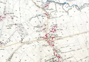
Background imageMaps Collection: Ordnance Survey map: Totley, 1876

Ordnance Survey map: Totley, 1876
Scale: 25 inches to 1 mile.Original at Sheffield Local Studies Library: Derbyshire sheet XI.15.Includes: Old Hay Brook, Grove House, Crown Inn, Hillfoot, Totley Bents, Cricket Inn, recreation ground

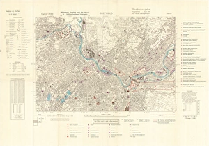
Background imageMaps Collection: Ordnance Survey map of north east Sheffield copied by the Germans

Ordnance Survey map of north east Sheffield copied by the Germans, and marked with bombing targets, c. 1940
Original at Sheffield City Archives MD7731/4 and Sheffield Local Studies Librarys 26 M/5

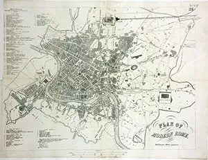
Background imageMaps Collection: Map of Rome

Map of Rome

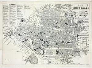
Background imageMaps Collection: Map of Brussels

Map of Brussels
Map of the city of Brussels, Belgium Date: 19th century

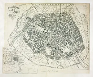
Background imageMaps Collection: Map of Paris

Map of Paris
Bradshaws Plan of Paris, France and map of the environs Date: 19th century

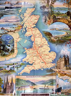
Background imageMaps Collection: Railway Map of England

Railway Map of England
London & North Western Railway Co rail map of England, 1899 Date: 1899

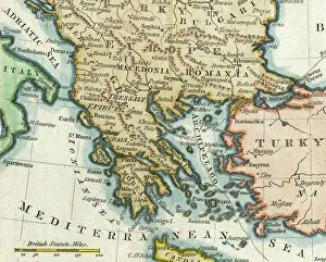
Background imageMaps Collection: Map of Greece, 1792

Map of Greece, 1792
Map of Greece and Greek islands plus Romania (which appears on this map to be incorrectly labelled or positioned south of Bulgaria), Macedonia, Albania and parts of Turkey and Italy

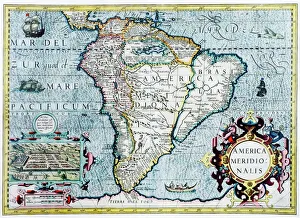
Background imageMaps Collection: 17th century map of South America

17th century map of South America
South America, 17th century Dutch map. This shows the new continent that was being discovered by European explorers. The shape is distorted because it had not yet been accurately mapped

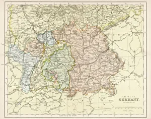
Background imageMaps Collection: Map / Europe / Germany 1880S

Map / Europe / Germany 1880S
Map of the German Empire (southern part) after the war with France, including Alsace and Lorraine

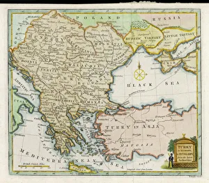
Background imageMaps Collection: Map / Europe / Balkans 1792

Map / Europe / Balkans 1792
A map showing Turkey in Europe and its neighbouring European states of the Balkans

Background imageMaps Collection: Blunt / Ophiucus / Plate 36

Blunt / Ophiucus / Plate 36
The constellation of Ophiucus - the figure is that of a man wrestling with a serpent

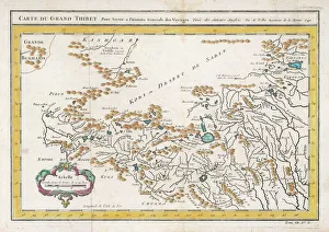
Background imageMaps Collection: Map / China / Tibet 1749

Map / China / Tibet 1749
CARTE DU GRAND THIBET scale in French leagues

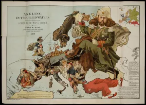
Background imageMaps Collection: Angling in Troubled Waters. A Serio-Comic Map of Europe. Artist: Fred W

Angling in Troubled Waters. A Serio-Comic Map of Europe. Artist: Fred W. Rose (active End of 19th cen. )
Angling in Troubled Waters. A Serio-Comic Map of Europe. Private Collection

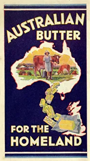
Background imageMaps Collection: Advert, Australian Butter for the Homeland

Advert, Australian Butter for the Homeland. 1936

Background imageMaps Collection: Route map, Imperial Airways

Route map, Imperial Airways. 1938

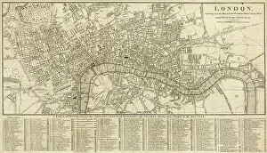
Background imageMaps Collection: London Map 1806

London Map 1806
London extending from the head of the Paddington Canal West, and to the West India Docks East. Date: 1806

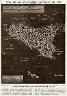
Background imageMaps Collection: Map of Sicily by G. H. Davis

Map of Sicily by G. H. Davis
A contour map of Sicily, giving the shortest air distances from Cape Bon and Malta. At this stage in the Second World War it was a British front-line objective in Axis eyes

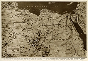
Background imageMaps Collection: Map of the war in North Africa by G. H. Davis

Map of the war in North Africa by G. H. Davis
The war in North Africa: a strategic contour map of the desert arena during the Second World War. Conflict began there in September 1940. Date: 1942

Background imageMaps Collection: Plan of Sheffield by Pawson and Brailsford

Plan of Sheffield by Pawson and Brailsford
Scale 0.5 miles : 1 inch.Size 32 x 27 cm.Original at Local Studies S7S

Background imageMaps Collection: Plan of the Dalton Parva Estate in the parish of Rotherham and county of York

Plan of the Dalton Parva Estate in the parish of Rotherham and county of York, the property of F W T V Wentworth, 1851
By Edward Surtees.Scale: 8 chains : 1 inch.Size 41 x 31 cm.Original at Local Studies E(289)1S

Background imageMaps Collection: Map of twenty miles around Sheffield, engraved for the directory of 1852

Map of twenty miles around Sheffield, engraved for the directory of 1852
Scale 3 miles : 1 inch.Size 41 x 34 cm.Original at Local Studies A11S


All Professionally Made to Order for Quick Shipping

Maps have always been a fascinating window into the past, allowing us to explore and understand the world as it once was. From the intricate details of an ancient Greek map to the vibrant landscapes of Jamaica, each map tells its own unique story. Take a journey back in time with a Map of Ancient Greece, where you can trace the footsteps of philosophers and warriors alike. Discover the birthplace of democracy and marvel at the city-states that shaped Western civilization. Venture further across continents with Maps showcasing the vastness of empires like Britain's. Explore territories under British rule through a Map of the British Empire or delve into Asia's history with a Map highlighting the mighty Mongol Empire. Uncover remnants of one of history's greatest civilizations with a Map depicting the grandeur and reach of Rome. Witness how this powerful empire spanned across Europe, Africa, and Asia, leaving behind an indelible mark on human history. During times filled with turmoil and conflict, maps served as crucial tools for understanding war efforts. The Daily Mail War Map from World War I provides insights into battlefronts while WW2 posters display strategic plans like never before - including those detailing activities specific to divisions such as 52 (Lowland) Division or mapping out positions held by troops in The British Army. Closer to home lies Isle Of Wight - its beauty captured perfectly on a detailed map inviting exploration along its stunning coastline. Meanwhile, travel even further east to discover ancient Persian splendor through an intricately designed Persian Empire map. For those seeking nostalgia or tracing ancestral roots, immerse yourself in Cornwall C1857's historical charm via an antique map capturing its essence during that era. From ancient civilizations to modern-day conflicts and everything in between – they can not just pieces of paper but gateways into our collective pasts. They hold stories waiting to be unraveled by curious minds eager for knowledge about our ever-changing world throughout time.