
Map Collection
"Journey through Time and Space: Exploring the World of Maps" Maps have been an essential tool for centuries


All Professionally Made to Order for Quick Shipping
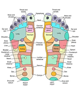
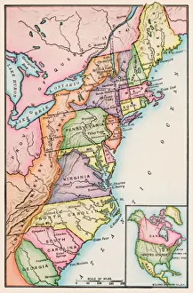
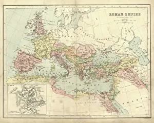
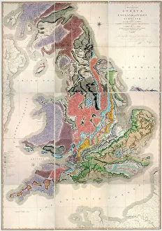
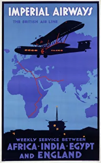
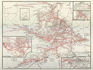
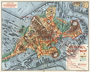
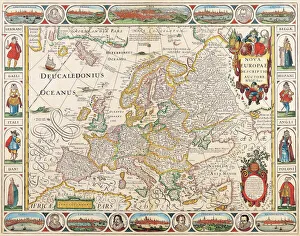
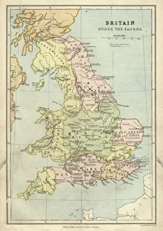
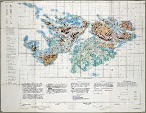
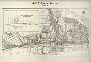
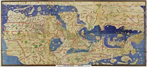
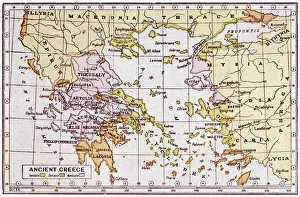
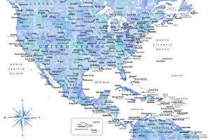
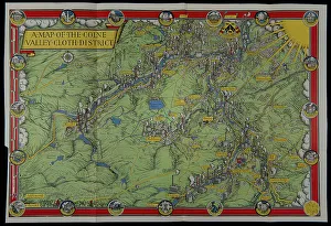
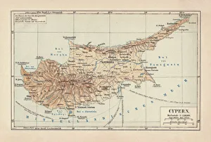
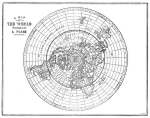
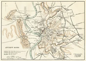
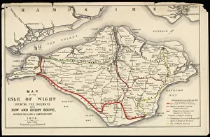
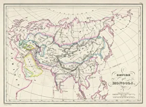
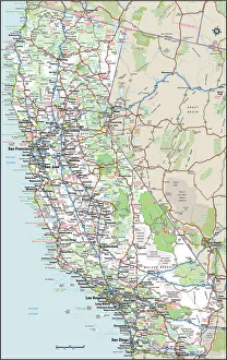
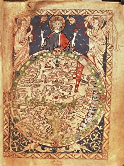
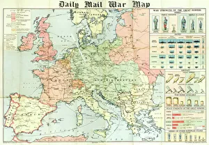
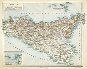
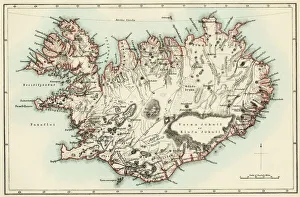
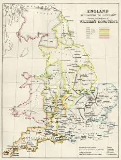
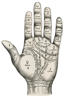
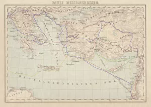
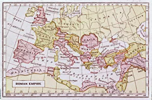
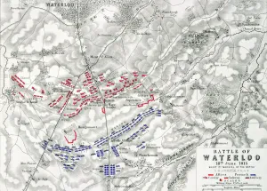
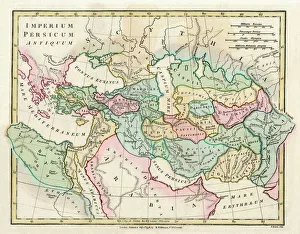
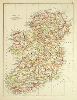
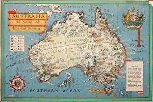
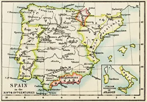
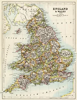
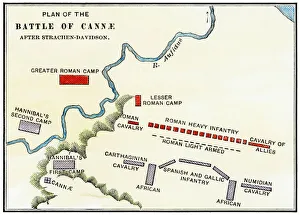
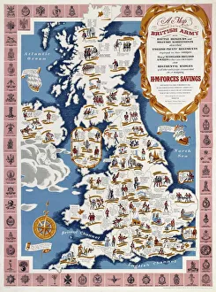
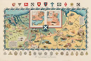
"Journey through Time and Space: Exploring the World of Maps" Maps have been an essential tool for centuries, guiding us through uncharted territories and helping us understand our world. From the Thirteen original colonies in 1776 to William Smith's groundbreaking Geological Map, these visual representations have shaped our understanding of geography, history, and even ourselves. Step onto a Reflexology foot map, where every pressure point tells a story about our well-being. Or immerse yourself in the intricate details of Richard de Bello's masterpiece - The Hereford Mappa Mundi (c1285), a medieval treasure that showcases both geographical knowledge and artistic finesse. Travel back in time with antique maps like the Roman Empire or Britain under the Anglo Saxons; they offer glimpses into ancient civilizations that once thrived. And let's not forget the Falkland Islands Royal Engineer briefing map from 1982, reminding us how maps play crucial roles during times of conflict. Delve into Al-Idrisi's world map from 1154 or explore GWR Network Map from c1920s - each capturing different eras' perspectives on global connectivity. Swindon Works Map from c1940s takes you behind-the-scenes of industrial revolution marvels. Finally, lose yourself in a mesmerizing journey across Ancient Greece as you trace your finger along its contours on an old parchment-like map. Discover mythical lands and legendary tales that still resonate today, and are more than just navigational aids; they are gateways to exploration and understanding. They tell stories of triumphs, discoveries, cultures lost to time but preserved within their lines. So next time you unfold a map or scroll through digital coordinates (like EXPL2A-00352), remember that you hold much more than directions – you hold pieces of history waiting to be explored anew.