
Lower Road Collection (page 2)
"Exploring the Lower Road: A Glimpse into 19th Century London and Beyond" Step back in time to Essex Road, Islington


All Professionally Made to Order for Quick Shipping
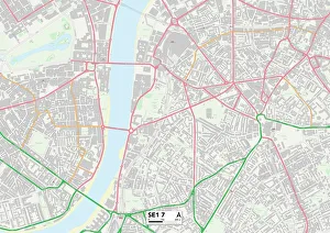
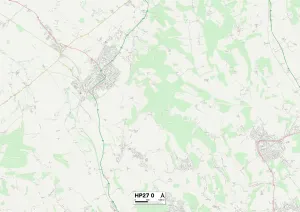
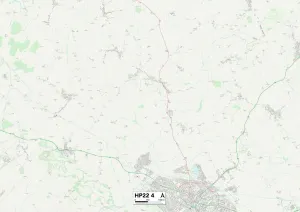
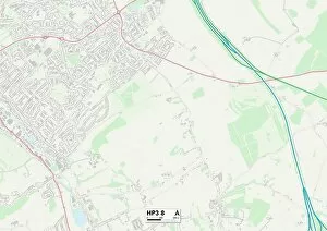
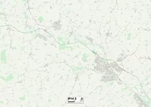
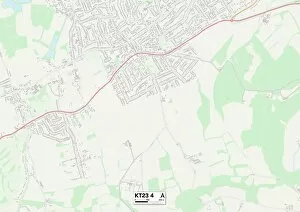
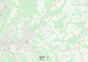
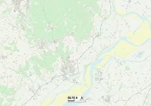
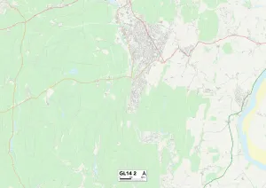
"Exploring the Lower Road: A Glimpse into 19th Century London and Beyond" Step back in time to Essex Road, Islington, London in 1842 through the eyes of artist Robert Blemmell Schnebbelie. His intricate artwork captures the essence of this bustling street, filled with life and activity. Venturing further afield, we journey to Shropshire TF9 4 Map, Fylde PR3 2 Map, Aylesbury Vale HP22 5 Map, Mole Valley KT23 3 Map, and Gloucester GL15 6 Map. These locations hold their own stories waiting to be discovered. Witness the grandeur of Bermondsey Infirmary (litho) as it stands tall amidst its surroundings. Marvel at Islington Cattle Market on Lower Road where trade thrives and livelihoods are made. Trade card by William Ellis showcases his craftsmanship while New Wesleyan Chapel on Lower Road in Rotherhithe leaves us awe-inspired with its architectural beauty. Delve into history with an engraving depicting the Plan of the Battle of Portsmouth. Feel the intensity as you imagine soldiers strategizing for victory. Transport yourself to St Helena tea-gardens on Lower Road in Rotherhithe around c. 1860 through a watercolor painting on paper. Experience serenity amidst nature's embrace as you sip your tea surrounded by lush greenery. The Lower Road holds tales untold - from vibrant city streets to tranquil gardens; each place has its unique charm waiting to be unraveled. Join us on this captivating journey through time and space as we explore these hidden gems that have shaped our world today.