Fraud Blocker Skip to main content

Lonsdale Road Collection

Lonsdale Road, a name that echoes through various cities and towns across the United Kingdom

Background imageLonsdale Road Collection: Kettering NN15 6 Map

Kettering NN15 6 Map
Postcode Sector Map of Kettering NN15 6

Background imageLonsdale Road Collection: Bexley DA7 4 Map

Bexley DA7 4 Map
Postcode Sector Map of Bexley DA7 4

Background imageLonsdale Road Collection: Elmbridge KT13 0 Map

Elmbridge KT13 0 Map
Postcode Sector Map of Elmbridge KT13 0

Background imageLonsdale Road Collection: Wolverhampton WV3 0 Map

Wolverhampton WV3 0 Map
Postcode Sector Map of Wolverhampton WV3 0

Background imageLonsdale Road Collection: Wakefield WF1 3 Map

Wakefield WF1 3 Map
Postcode Sector Map of Wakefield WF1 3

Background imageLonsdale Road Collection: Hounslow W4 1 Map

Hounslow W4 1 Map
Postcode Sector Map of Hounslow W4 1

Background imageLonsdale Road Collection: North Yorkshire YO11 2 Map

North Yorkshire YO11 2 Map
Postcode Sector Map of North Yorkshire YO11 2

Background imageLonsdale Road Collection: Wolverhampton WV14 7 Map

Wolverhampton WV14 7 Map
Postcode Sector Map of Wolverhampton WV14 7

Background imageLonsdale Road Collection: Kensington and Chelsea W11 2 Map

Kensington and Chelsea W11 2 Map
Postcode Sector Map of Kensington and Chelsea W11 2

Background imageLonsdale Road Collection: Ealing UB2 5 Map

Ealing UB2 5 Map
Postcode Sector Map of Ealing UB2 5

Background imageLonsdale Road Collection: Richmond upon Thames SW13 9 Map

Richmond upon Thames SW13 9 Map
Postcode Sector Map of Richmond upon Thames SW13 9

Background imageLonsdale Road Collection: Croydon SE25 4 Map

Croydon SE25 4 Map
Postcode Sector Map of Croydon SE25 4

Background imageLonsdale Road Collection: Sunderland SR6 9 Map

Sunderland SR6 9 Map
Postcode Sector Map of Sunderland SR6 9

Background imageLonsdale Road Collection: Stevenage SG1 5 Map

Stevenage SG1 5 Map
Postcode Sector Map of Stevenage SG1 5

Background imageLonsdale Road Collection: Walsall WS5 3 Map

Walsall WS5 3 Map
Postcode Sector Map of Walsall WS5 3

Background imageLonsdale Road Collection: Somerset TA5 2 Map

Somerset TA5 2 Map
Postcode Sector Map of Somerset TA5 2

Background imageLonsdale Road Collection: Teignbridge TQ12 1 Map

Teignbridge TQ12 1 Map
Postcode Sector Map of Teignbridge TQ12 1

Background imageLonsdale Road Collection: North East Derbyshire S45 8 Map

North East Derbyshire S45 8 Map
Postcode Sector Map of North East Derbyshire S45 8

Background imageLonsdale Road Collection: Southend-on-Sea SS2 4 Map

Southend-on-Sea SS2 4 Map
Postcode Sector Map of Southend-on-Sea SS2 4

Background imageLonsdale Road Collection: Preston PR1 5 Map

Preston PR1 5 Map
Postcode Sector Map of Preston PR1 5

Background imageLonsdale Road Collection: Brent NW6 6 Map

Brent NW6 6 Map
Postcode Sector Map of Brent NW6 6

Background imageLonsdale Road Collection: Sheffield S6 2 Map

Sheffield S6 2 Map
Postcode Sector Map of Sheffield S6 2

Background imageLonsdale Road Collection: South Kesteven PE9 2 Map

South Kesteven PE9 2 Map
Postcode Sector Map of South Kesteven PE9 2

Background imageLonsdale Road Collection: Oxford OX2 7 Map

Oxford OX2 7 Map
Postcode Sector Map of Oxford OX2 7

Background imageLonsdale Road Collection: Sefton PR8 6 Map

Sefton PR8 6 Map
Postcode Sector Map of Sefton PR8 6

Background imageLonsdale Road Collection: Mole Valley RH4 1 Map

Mole Valley RH4 1 Map
Postcode Sector Map of Mole Valley RH4 1

Background imageLonsdale Road Collection: Norfolk NR13 6 Map

Norfolk NR13 6 Map
Postcode Sector Map of Norfolk NR13 6

Background imageLonsdale Road Collection: Oldham OL8 4 Map

Oldham OL8 4 Map
Postcode Sector Map of Oldham OL8 4

Background imageLonsdale Road Collection: Nottingham NG7 3 Map

Nottingham NG7 3 Map
Postcode Sector Map of Nottingham NG7 3

Background imageLonsdale Road Collection: Manchester M19 3 Map

Manchester M19 3 Map
Postcode Sector Map of Manchester M19 3

Background imageLonsdale Road Collection: Sefton L37 3 Map

Sefton L37 3 Map
Postcode Sector Map of Sefton L37 3

Background imageLonsdale Road Collection: Leicester LE4 8 Map

Leicester LE4 8 Map
Postcode Sector Map of Leicester LE4 8

Background imageLonsdale Road Collection: Lancaster LA4 6 Map

Lancaster LA4 6 Map
Postcode Sector Map of Lancaster LA4 6

Background imageLonsdale Road Collection: Lancaster LA2 6 Map

Lancaster LA2 6 Map
Postcode Sector Map of Lancaster LA2 6

Background imageLonsdale Road Collection: Liverpool L21 0 Map

Liverpool L21 0 Map
Postcode Sector Map of Liverpool L21 0

Background imageLonsdale Road Collection: Liverpool L26 1 Map

Liverpool L26 1 Map
Postcode Sector Map of Liverpool L26 1

Background imageLonsdale Road Collection: Copeland LA18 4 Map

Copeland LA18 4 Map
Postcode Sector Map of Copeland LA18 4

Background imageLonsdale Road Collection: Blackpool FY1 6 Map

Blackpool FY1 6 Map
Postcode Sector Map of Blackpool FY1 6

Background imageLonsdale Road Collection: Gloucester GL2 0 Map

Gloucester GL2 0 Map
Postcode Sector Map of Gloucester GL2 0

Background imageLonsdale Road Collection: Waltham Forest E11 2 Map

Waltham Forest E11 2 Map
Postcode Sector Map of Waltham Forest E11 2

Background imageLonsdale Road Collection: Exeter EX1 3 Map

Exeter EX1 3 Map
Postcode Sector Map of Exeter EX1 3

Background imageLonsdale Road Collection: East Staffordshire DE14 3 Map

East Staffordshire DE14 3 Map
Postcode Sector Map of East Staffordshire DE14 3

Background imageLonsdale Road Collection: South Derbyshire DE65 6 Map

South Derbyshire DE65 6 Map
Postcode Sector Map of South Derbyshire DE65 6

Background imageLonsdale Road Collection: Tendring CO16 0 Map

Tendring CO16 0 Map
Postcode Sector Map of Tendring CO16 0

Background imageLonsdale Road Collection: Warwick CV32 7 Map

Warwick CV32 7 Map
Postcode Sector Map of Warwick CV32 7

Background imageLonsdale Road Collection: Cardiff CF23 9 Map

Cardiff CF23 9 Map
Postcode Sector Map of Cardiff CF23 9

Background imageLonsdale Road Collection: Bolton BL1 4 Map

Bolton BL1 4 Map
Postcode Sector Map of Bolton BL1 4

Background imageLonsdale Road Collection: Bournemouth BH3 7 Map

Bournemouth BH3 7 Map
Postcode Sector Map of Bournemouth BH3 7


All Professionally Made to Order for Quick Shipping

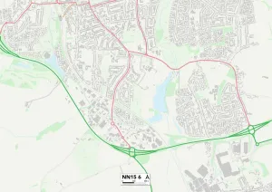
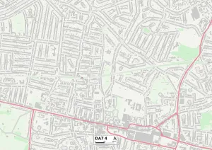
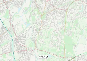
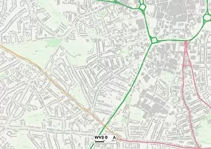
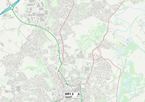
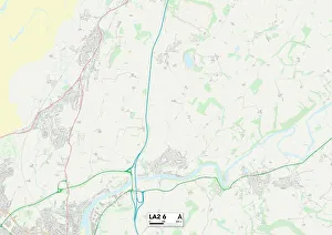
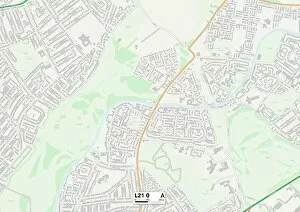
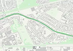
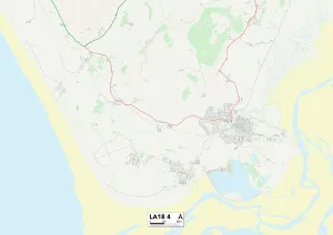
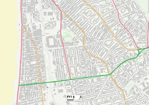
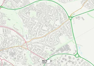
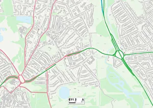
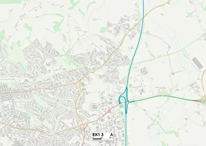
Lonsdale Road, a name that echoes through various cities and towns across the United Kingdom. From Kettering to Bexley, Wolverhampton to Wakefield, this road connects communities far and wide. It weaves its way through different landscapes, offering glimpses of diverse cultures and lifestyles. In Kettering (NN15 6 Map), Lonsdale Road stands as a symbol of unity, bringing together residents from all walks of life. Its bustling streets are lined with vibrant shops and cozy cafes where locals gather for a friendly chat over a cup of tea. Venturing further south to Bexley (DA7 4 Map), Lonsdale Road takes on a more suburban charm. Neatly manicured gardens adorn the front yards of charming houses, creating an idyllic atmosphere perfect for raising families or enjoying peaceful strolls in the evening sun. Wolverhampton (WV3 0 Map) welcomes visitors with open arms along Lonsdale Road. This vibrant city is known for its rich history and cultural diversity. The road itself serves as a gateway to countless attractions such as museums, art galleries, and lively markets that showcase the city's unique character. Wakefield (WF1 3 Map) embraces Lonsdale Road as one of its main arteries connecting neighborhoods old and new. Here you'll find historic landmarks standing tall alongside modern developments—a testament to the city's ability to blend tradition with progress seamlessly. Elmbridge (KT13 0 Map) offers a tranquil escape along Lonsdale Road. Nestled amidst lush greenery and picturesque countryside views, this area provides respite from busy urban life while still being within reach of major cities like London. North Yorkshire's YO11 2 Map reveals yet another facet of Lonsdale Road's journey—an enchanting path leading travelers through breathtaking landscapes dotted with quaint villages steeped in history. Each turn unveils a new story waiting to be discovered.