
Latin Collection
"Exploring the Rich Tapestry of Latin: From Medieval Curiosities to Revolutionary Icons" Step back in time with a glimpse into the fascinating world of Latin


All Professionally Made to Order for Quick Shipping
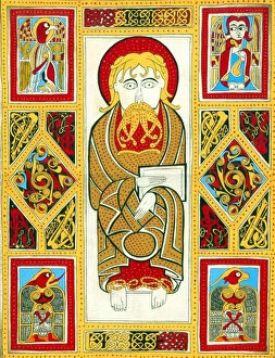
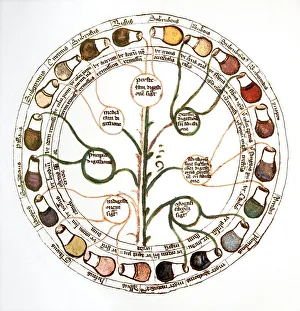
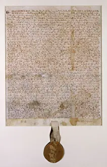
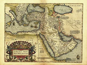
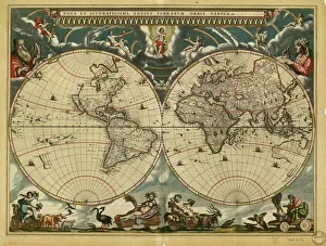
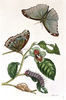
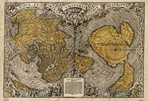
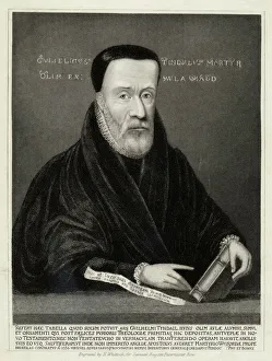
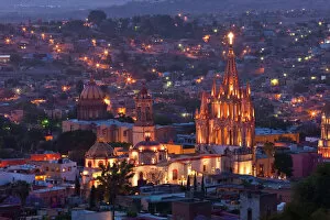
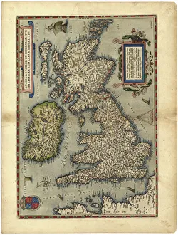
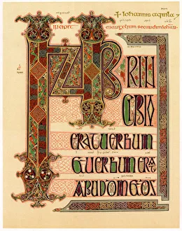
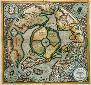
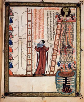
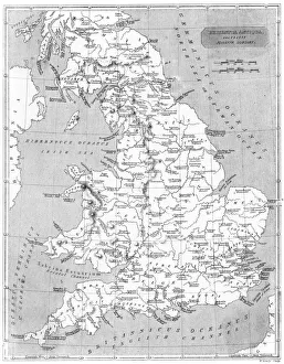
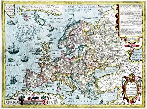
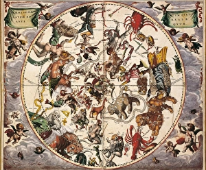
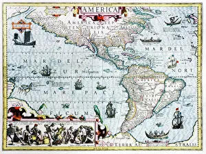
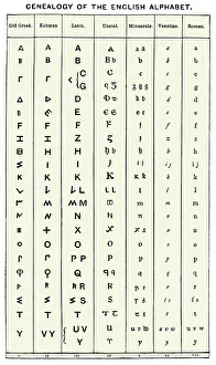
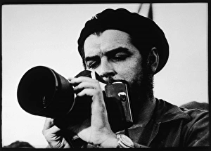
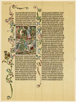
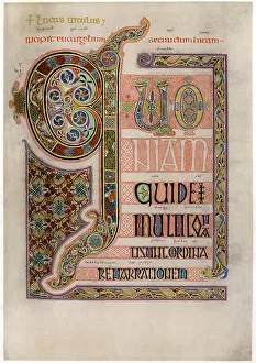
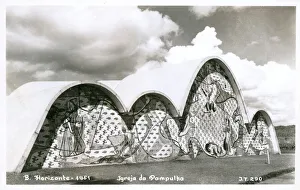
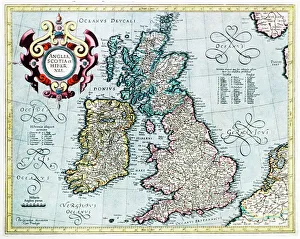
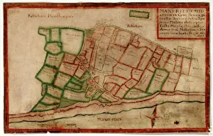
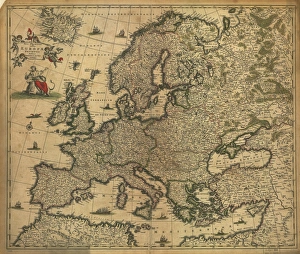
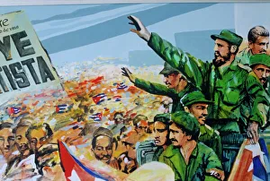
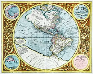
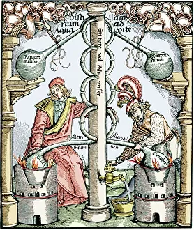
"Exploring the Rich Tapestry of Latin: From Medieval Curiosities to Revolutionary Icons" Step back in time with a glimpse into the fascinating world of Latin. Delve into its diverse history, from the peculiar Medieval urine wheel used for medical diagnosis to the influential Brudenell Magna Carta that shaped modern legal systems. Embark on a maritime journey aboard Her Majesty's Australian Ship (HMAS) Melbourne (21), where tales of heroism and bravery unfold. Uncover the power behind Churchill's famous words through a wartime poster that rallied nations during times of adversity. Marvel at Orteliuss map of Ottoman Empire, 1570, which reveals intricate details and geopolitical shifts. Lose yourself in the mesmerizing Lindisfarne Gospels page, an artistic masterpiece showcasing early Christian devotion. Travel to Mexico's enchanting San Miguel de Allende, where La Parroquia de San Miguel Arcangel Church dominates the skyline with its awe-inspiring architecture. Immerse yourself in nature as you admire Maria Sibylla Merian's exquisite butterfly illustration, capturing delicate beauty with scientific precision. Unleash your rebellious spirit alongside Che Guevara as he gazes defiantly through his iconic smoking portrait. Experience ancient craftsmanship through an initial page from the Lindisfarne Gospels dating back centuries. Expand your horizons further with a 17th-century world map that unveils uncharted territories and global exploration. Witness Tenochtitlan come alive on Alonso de Santa Cruz's Map of Mexico from 1560, offering insights into Aztec civilization and cultural heritage. Latin is not merely a language; it is an extraordinary tapestry woven with threads spanning centuries and continents. Join us as we unravel its mysteries and celebrate its enduring legacy across art, science, politics, religion, and beyond.