Fraud Blocker Skip to main content

Lapwing Close Collection

Discover the hidden beauty of Lapwing Close in various locations across the UK

Background imageLapwing Close Collection: Exeter EX7 0 Map

Exeter EX7 0 Map
Postcode Sector Map of Exeter EX7 0

Background imageLapwing Close Collection: Wigan WA3 2 Map

Wigan WA3 2 Map
Postcode Sector Map of Wigan WA3 2

Background imageLapwing Close Collection: Hampshire PO8 9 Map

Hampshire PO8 9 Map
Postcode Sector Map of Hampshire PO8 9

Background imageLapwing Close Collection: Rochdale OL11 5 Map

Rochdale OL11 5 Map
Postcode Sector Map of Rochdale OL11 5

Background imageLapwing Close Collection: Bexley DA8 2 Map

Bexley DA8 2 Map
Postcode Sector Map of Bexley DA8 2

Background imageLapwing Close Collection: Rother TN31 7 Map

Rother TN31 7 Map
Postcode Sector Map of Rother TN31 7

Background imageLapwing Close Collection: Somerset TA24 6 Map

Somerset TA24 6 Map
Postcode Sector Map of Somerset TA24 6

Background imageLapwing Close Collection: Swindon SN3 5 Map

Swindon SN3 5 Map
Postcode Sector Map of Swindon SN3 5

Background imageLapwing Close Collection: Tameside SK15 3 Map

Tameside SK15 3 Map
Postcode Sector Map of Tameside SK15 3

Background imageLapwing Close Collection: Hampshire RG22 5 Map

Hampshire RG22 5 Map
Postcode Sector Map of Hampshire RG22 5

Background imageLapwing Close Collection: South Staffordshire WS6 7 Map

South Staffordshire WS6 7 Map
Postcode Sector Map of South Staffordshire WS6 7

Background imageLapwing Close Collection: Walsall WS8 6 Map

Walsall WS8 6 Map
Postcode Sector Map of Walsall WS8 6

Background imageLapwing Close Collection: Wakefield WF10 2 Map

Wakefield WF10 2 Map
Postcode Sector Map of Wakefield WF10 2

Background imageLapwing Close Collection: St. Helens WA12 9 Map

St. Helens WA12 9 Map
Postcode Sector Map of St. Helens WA12 9

Background imageLapwing Close Collection: Hampshire PO12 4 Map

Hampshire PO12 4 Map
Postcode Sector Map of Hampshire PO12 4

Background imageLapwing Close Collection: Hampshire PO10 7 Map

Hampshire PO10 7 Map
Postcode Sector Map of Hampshire PO10 7

Background imageLapwing Close Collection: Staffordshire ST7 4 Map

Staffordshire ST7 4 Map
Postcode Sector Map of Staffordshire ST7 4

Background imageLapwing Close Collection: Berkshire RG31 4 Map

Berkshire RG31 4 Map
Postcode Sector Map of Berkshire RG31 4

Background imageLapwing Close Collection: Cherwell OX26 6 Map

Cherwell OX26 6 Map
Postcode Sector Map of Cherwell OX26 6

Background imageLapwing Close Collection: Fylde PR3 0 Map

Fylde PR3 0 Map
Postcode Sector Map of Fylde PR3 0

Background imageLapwing Close Collection: Horsham RH13 5 Map

Horsham RH13 5 Map
Postcode Sector Map of Horsham RH13 5

Background imageLapwing Close Collection: Norfolk NR31 8 Map

Norfolk NR31 8 Map
Postcode Sector Map of Norfolk NR31 8

Background imageLapwing Close Collection: Northampton NN4 0 Map

Northampton NN4 0 Map
Postcode Sector Map of Northampton NN4 0

Background imageLapwing Close Collection: Northumberland NE24 3 Map

Northumberland NE24 3 Map
Postcode Sector Map of Northumberland NE24 3

Background imageLapwing Close Collection: Lincoln LN8 3 Map

Lincoln LN8 3 Map
Postcode Sector Map of Lincoln LN8 3

Background imageLapwing Close Collection: Swale ME12 3 Map

Swale ME12 3 Map
Postcode Sector Map of Swale ME12 3

Background imageLapwing Close Collection: Charnwood LE12 5 Map

Charnwood LE12 5 Map
Postcode Sector Map of Charnwood LE12 5

Background imageLapwing Close Collection: Sunderland NE38 0 Map

Sunderland NE38 0 Map
Postcode Sector Map of Sunderland NE38 0

Background imageLapwing Close Collection: Lincoln LN6 5 Map

Lincoln LN6 5 Map
Postcode Sector Map of Lincoln LN6 5

Background imageLapwing Close Collection: Leicester LE4 1 Map

Leicester LE4 1 Map
Postcode Sector Map of Leicester LE4 1

Background imageLapwing Close Collection: Lancaster LA3 2 Map

Lancaster LA3 2 Map
Postcode Sector Map of Lancaster LA3 2

Background imageLapwing Close Collection: Liverpool L12 0 Map

Liverpool L12 0 Map
Postcode Sector Map of Liverpool L12 0

Background imageLapwing Close Collection: Dacorum HP2 6 Map

Dacorum HP2 6 Map
Postcode Sector Map of Dacorum HP2 6

Background imageLapwing Close Collection: St Edmundsbury IP31 3 Map

St Edmundsbury IP31 3 Map
Postcode Sector Map of St Edmundsbury IP31 3

Background imageLapwing Close Collection: Kingston upon Hull HU8 9 Map

Kingston upon Hull HU8 9 Map
Postcode Sector Map of Kingston upon Hull HU8 9

Background imageLapwing Close Collection: Tewkesbury GL20 8 Map

Tewkesbury GL20 8 Map
Postcode Sector Map of Tewkesbury GL20 8

Background imageLapwing Close Collection: Exeter EX15 1 Map

Exeter EX15 1 Map
Postcode Sector Map of Exeter EX15 1

Background imageLapwing Close Collection: Derby DE24 3 Map

Derby DE24 3 Map
Postcode Sector Map of Derby DE24 3

Background imageLapwing Close Collection: Wyre Forest DY10 4 Map

Wyre Forest DY10 4 Map
Postcode Sector Map of Wyre Forest DY10 4

Background imageLapwing Close Collection: Amber Valley DE56 0 Map

Amber Valley DE56 0 Map
Postcode Sector Map of Amber Valley DE56 0

Background imageLapwing Close Collection: Cheshire West and Chester CW7 1 Map

Cheshire West and Chester CW7 1 Map
Postcode Sector Map of Cheshire West and Chester CW7 1

Background imageLapwing Close Collection: Croydon CR0 9 Map

Croydon CR0 9 Map
Postcode Sector Map of Croydon CR0 9

Background imageLapwing Close Collection: Coventry CV4 8 Map

Coventry CV4 8 Map
Postcode Sector Map of Coventry CV4 8

Background imageLapwing Close Collection: Folkestone CT18 7 Map

Folkestone CT18 7 Map
Postcode Sector Map of Folkestone CT18 7

Background imageLapwing Close Collection: North Somerset BS20 7 Map

North Somerset BS20 7 Map
Postcode Sector Map of North Somerset BS20 7

Background imageLapwing Close Collection: South Gloucestershire BS32 0 Map

South Gloucestershire BS32 0 Map
Postcode Sector Map of South Gloucestershire BS32 0

Background imageLapwing Close Collection: Vale of Glamorgan CF64 5 Map

Vale of Glamorgan CF64 5 Map
Postcode Sector Map of Vale of Glamorgan CF64 5

Background imageLapwing Close Collection: Bradford BD8 0 Map

Bradford BD8 0 Map
Postcode Sector Map of Bradford BD8 0


All Professionally Made to Order for Quick Shipping

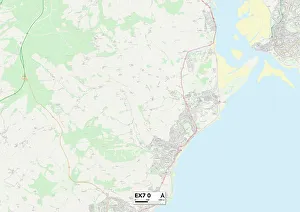
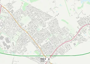
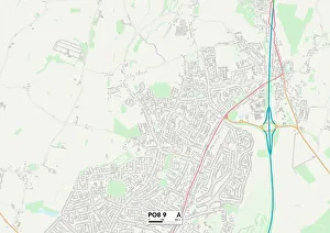
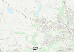
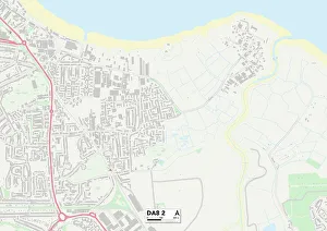
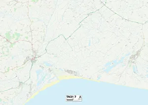
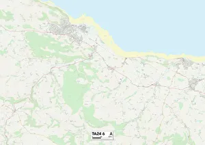
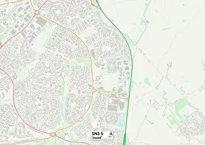
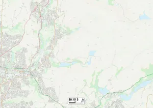
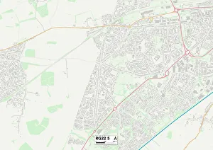
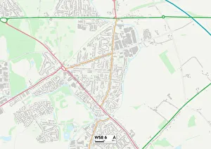
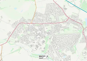
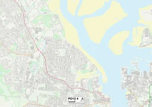
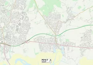
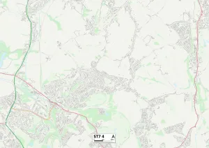
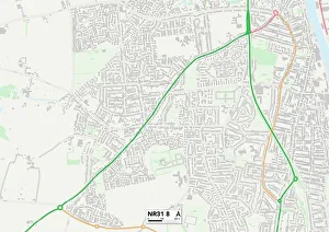
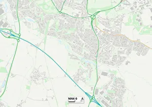
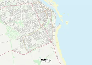
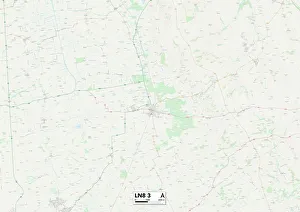
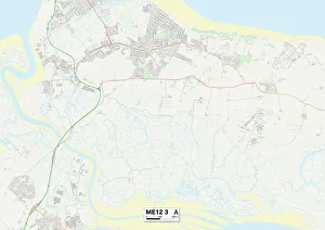
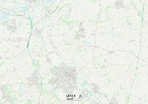
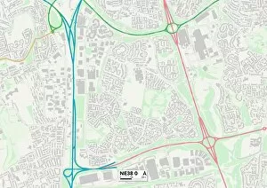
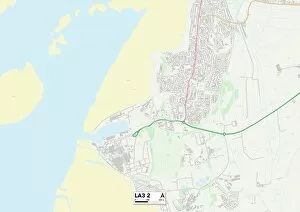
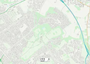
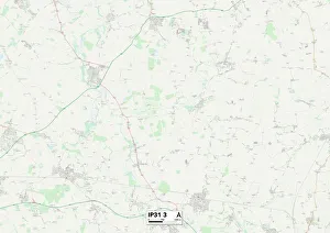
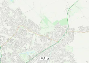
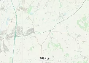
Discover the hidden beauty of Lapwing Close in various locations across the UK. From Wigan's tranquil surroundings (WA3 2 Map) to Hampshire's picturesque landscapes (PO8 9 Map), each destination offers a unique charm. Rochdale (OL11 5 Map) boasts breathtaking views, while Exeter (EX7 0 Map) invites you to explore its vibrant culture. Bexley's (DA8 2 Map) peaceful ambiance is perfect for relaxation, and Rother (TN31 7 Map) promises an escape into nature. Somerset's idyllic countryside awaits at TA24 6 Map, while Swindon's SN3 5 Map showcases modern amenities amidst green spaces. Tameside (SK15 3 Map) offers a blend of history and natural wonders, while Hampshire’s RG22 5 map will captivate with its scenic beauty. South Staffordshire’s WS6 7 map provides a serene retreat, and Walsall’s WS8 6 map presents an array of recreational activities. Embark on an unforgettable journey through Lapwing Close and experience the best that these diverse locations have to offer.