
Landsat 5 Imagery Collection
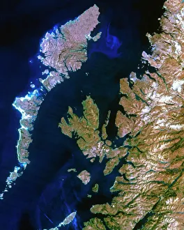
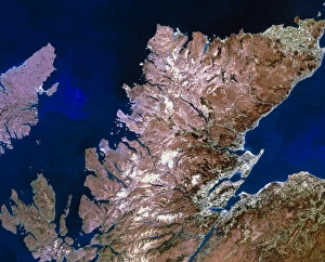
"Landsat 5 Imagery: A Window into the Breathtaking Landscapes of Europe" True-colour satellite image of northwest Scotland


All Professionally Made to Order for Quick Shipping
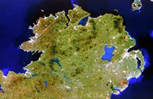
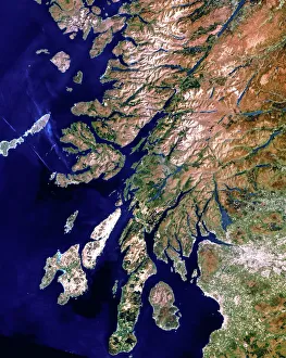
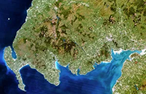
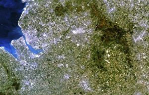
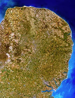
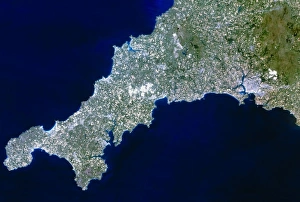
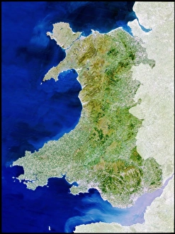
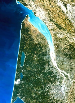
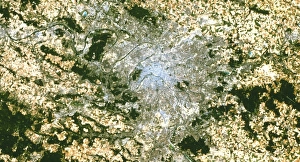
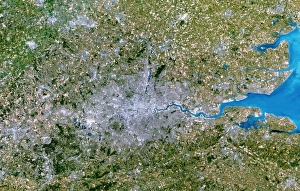
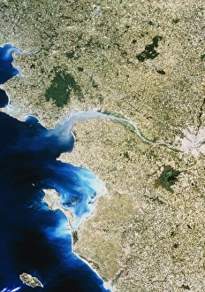
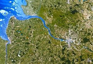
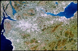
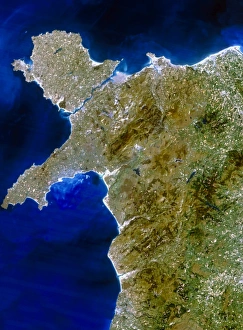
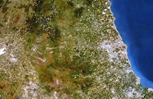
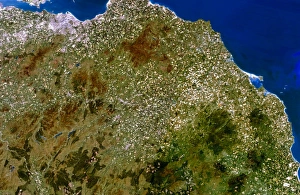
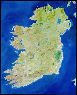
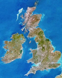
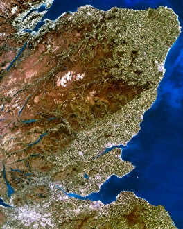
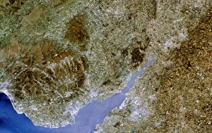
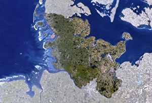
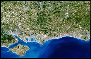
"Landsat 5 Imagery: A Window into the Breathtaking Landscapes of Europe" True-colour satellite image of northwest Scotland: Witness the rugged beauty and pristine wilderness of northwest Scotland through this stunning Landsat 5 imagery, capturing nature at its finest. True-colour satellite image of Ulster, Ireland: Explore the enchanting landscapes of Ulster in Ireland from a whole new perspective with this remarkable true-colour satellite image by Landsat True-colour satellite image of western Scotland: Immerse yourself in the captivating allure of western Scotland as you delve into this mesmerizing true-colour satellite image brought to you by Landsat True-colour satellite image of Cornwall, UK: Embark on a visual journey to Cornwall, UK with this breathtaking true-colour satellite image that showcases its picturesque coastline and charming countryside. True colour satellite image of Wales: Discover the magical land where ancient castles meet rolling hills through this captivating true-color satellite image capturing the essence and beauty of Wales. True-colour satellite image southwest Scotland: Uncover the hidden gems nestled within southwest Scotland's awe-inspiring landscapes as captured by Landsat 5's incredible true-color imagery. True-colour satellite image East Anglia, UK: Delve into East Anglia's rich tapestry woven with lush fields and quaint villages showcased in vivid detail through this extraordinary true-color Landsat 5 imagery. True-colour satellite image Bordeaux, France: Indulge your senses in an aerial tour over Bordeaux, France with this striking true-color Landsat 5 imagery that reveals vineyards stretching towards horizons dotted with historic architecture. Satellite Image Paris: Marvel at one of Europe's most iconic cities - Paris - as seen from space through this fascinating Satellite Image that captures its grandeur and timeless elegance. Satellite Image Greater London, UK.