
Land Claim Collection
"Land Claim: Tracing the Footsteps of History" Step back in time as we explore the fascinating world of land claims throughout history


All Professionally Made to Order for Quick Shipping
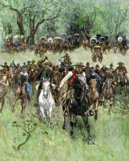
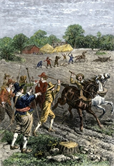
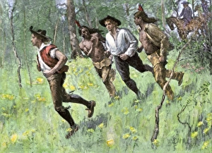
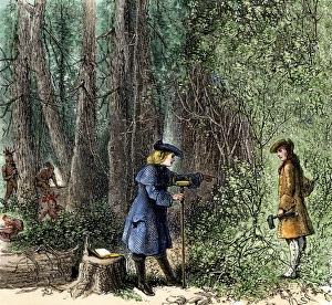
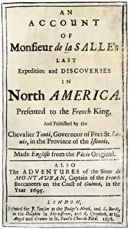
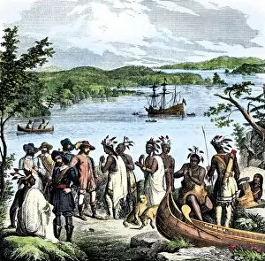
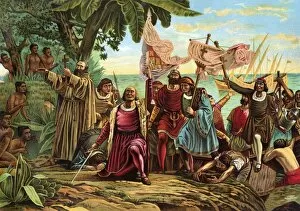
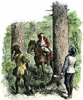
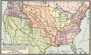
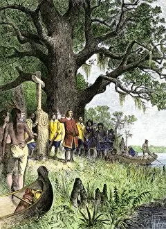
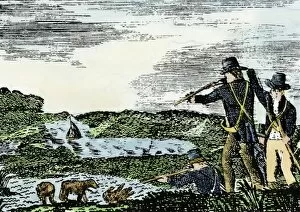
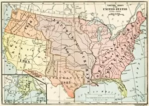
"Land Claim: Tracing the Footsteps of History" Step back in time as we explore the fascinating world of land claims throughout history. From the Oklahoma Territory opening its doors to settlers in 1891, to Columbus' historic landing in the New World in 1492, these pivotal moments have shaped our world today. In the early 1700s, amidst a backdrop of political turmoil and change, France proudly waved its flag high. The Flag of France symbolized their claim over vast territories across continents. Fast forward to 1803 when Fort Mandan was constructed by Lewis and Clark during their legendary expedition. This strategic outpost marked not only their journey but also America's expansion westward. The conflict between English and Dutch colonists in Connecticut exemplified how land claims often sparked tensions among different groups vying for control and dominance. Moving further south, we witness the United States taking hold of New Mexico during the Mexican-American War. This conquest forever altered borders and reshaped nations. Closer to home, colonial Pennsylvania witnessed an infamous land claim known as "Walking Purchase. " This controversial agreement between Native Americans and William Penn's sons led to disputes that lasted for generations. Across oceans, Hawaii celebrated as it became part of American territory through U. S. Annexation in 1898. Honolulu erupted with joyous cheers marking a significant turning point for both nations involved. These snippets from history remind us that land claims have always been at the heart of human ambition, exploration, power struggles, and cultural clashes. They reflect our desire for ownership while shaping societies on local and global scales alike. As we delve into these stories filled with triumphs and controversies alike (EXPL2A-00128), let us appreciate how each land claim has left an indelible mark on our collective heritage (EXPL2A-00269).