Fraud Blocker Skip to main content

International Border Collection

"Exploring the World's Dividing Lines: A Journey Through International Borders" Embarking on a visual odyssey

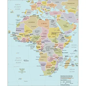
Background imageInternational Border Collection: Political Map of Africa

Political Map of Africa
Vector Illustration of the policital map of Africa Reference map as created by the US Central Intelligence Agency

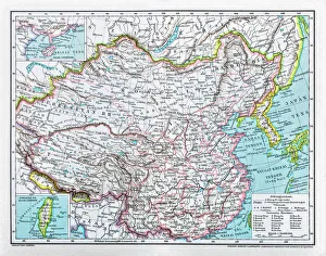
Background imageInternational Border Collection: China map

China map
illustration of a South Eastern Asia map

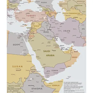
Background imageInternational Border Collection: Political map of The Middle East

Political map of The Middle East
Vector illustration of the policital map of The Middle East Reference map was created by the US Central Intelligence Agency

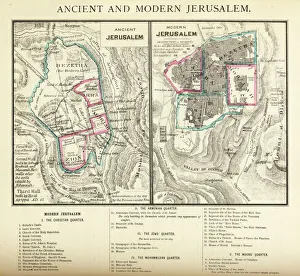
Background imageInternational Border Collection: Ancient and Modern Jerusalem Map Engraving

Ancient and Modern Jerusalem Map Engraving
Engraved illustration of Ancient and Modern Jerusalem Map Engraving from The Popular Pictorial Bible, Containing the Old and New Testaments, Published in 1862. Copyright has expired on this artwork

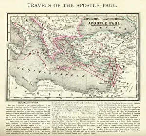
Background imageInternational Border Collection: Travels of The Apostle Paul Map Engraving

Travels of The Apostle Paul Map Engraving
Engraved illustration of the Travels of The Apostle Paul Map Engraving from The Popular Pictorial Bible, Containing the Old and New Testaments, Published in 1862

Background imageInternational Border Collection: Singapore

Singapore
Antique illustration of a Republic of Singapore

Background imageInternational Border Collection: Romania

Romania
Antique map of Romania

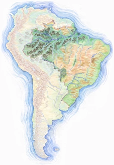
Background imageInternational Border Collection: Highly detailed hand-drawn map of Brazil within the outline of South America with a compass rose and the equator

Highly detailed hand-drawn map of Brazil within the outline of South America with a compass rose and the equator

Background imageInternational Border Collection: People crossing the Prussian, Saxon border

People crossing the Prussian, Saxon border, 1895, historical illustration, Germany, Europe

Background imageInternational Border Collection: Germany, Berlin, 26.07.1991, Border sign

Germany, Berlin, 26.07.1991, Border sign, Halt Staatsgrenze, Passieren verboten, Merchant at the Brandenburg Gater, Europe

Background imageInternational Border Collection: Town view of the border town Sowetsk

Town view of the border town Sowetsk, Sowjetsk or Tilsit at the Memel, Oblast Kaliningrad, Russia, state border Russia Lithuania, border river, panorama, sailing ship, shore, churches

Background imageInternational Border Collection: Historical, hand-coloured map, engraving

Historical, hand-coloured map, engraving, India and Southeast Asia, 18th Century

Background imageInternational Border Collection: Fall of the Berlin Wall, border guards of the National Army securing the Wall at the Brandenburg Gate

Fall of the Berlin Wall, border guards of the National Army securing the Wall at the Brandenburg Gate, Berlin, Germany, Europe

Background imageInternational Border Collection: Berlin Wall at Potsdam Square, 1988

Berlin Wall at Potsdam Square, 1988, Berlin, Germany, Europe

Background imageInternational Border Collection: Berlin Wall and Brandenburg Gate

Berlin Wall and Brandenburg Gate, before 1989, Berlin, Germany, Europe

Background imageInternational Border Collection: Allied Checkpoint Charlie, c. 1990

Allied Checkpoint Charlie, c. 1990, Berlin, Germany, Europe

Background imageInternational Border Collection: Allied Checkpoint Charlie, c. 1990

Allied Checkpoint Charlie, c. 1990, Berlin, Germany, Europe

Background imageInternational Border Collection: Painted Berlin Wall, before 1989

Painted Berlin Wall, before 1989, Berlin, Germany |

Background imageInternational Border Collection: Berlin Wall, before 1989, Berlin, Germany, Europe

Berlin Wall, before 1989, Berlin, Germany, Europe

Background imageInternational Border Collection: Watchtower, Berlin Wall, before 1989

Watchtower, Berlin Wall, before 1989, Berlin, Germany, Europe

Background imageInternational Border Collection: Man photographs a woman at the Berlin Wall

Man photographs a woman at the Berlin Wall, before 1989, Berlin, Germany, Europe

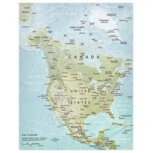
Background imageInternational Border Collection: North America map

North America map
Vector illustration of a detailed map of North America

Background imageInternational Border Collection: Afridi Sentry Guards at Afghanistan Border at Khyber Pass

Afridi Sentry Guards at Afghanistan Border at Khyber Pass
(Original Caption) 1/13/1932-An Afridi sentry is shown at the border of the Afghan territory (Khyber Pass)

Background imageInternational Border Collection: Sentry Guards Sandbagged Gateway

Sentry Guards Sandbagged Gateway
Switzerland guards its borders to protect its neutrality against the hostilities between France and Germany. | Location: Border of Switzerland

Background imageInternational Border Collection: American Soldiers Crossing Border of France and Belgium

American Soldiers Crossing Border of France and Belgium
American soldiers cross the France-Belgium border mark during World War II. | Location: Border of France and Belgium

Background imageInternational Border Collection: Sentries at West German Checkpoint

Sentries at West German Checkpoint
West German sentries patrol a new barricade in front of the common barrier on a highway running from the West Zone to the east. The new barricade is the result of the kidnapping of Dr

Background imageInternational Border Collection: Map Showing Kurdish Territory in Iraq

Map Showing Kurdish Territory in Iraq
This map shows the area claimed by Kurdish rebels in northeastern Iraq and the extensive area where Kurdish partisans are operating

Background imageInternational Border Collection: Family Looking at East German Countryside

Family Looking at East German Countryside
A West German family looks over fences and mine fields to farms on the East German side of the border. | Location: near Simmershausen, West Germany

Background imageInternational Border Collection: Soldiers putting barbed wire on border fence

Soldiers putting barbed wire on border fence
Soldiers in a Gurkha unit put barbed wire atop a fence along the Hong Kong-China border. Illegal immigrants from China have been climbing the fence at night to enter Hong Kong

Background imageInternational Border Collection: Border Guard Control Room, California

Border Guard Control Room, California
(Original Caption) 3/29/1983-San Diego: Improved apprehension technology of the Border Patrol includes infra-red scopes with a nocturnal range of three to four miles

Background imageInternational Border Collection: Map India out line

Map India out line Map India out line

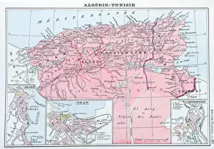
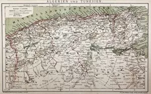
Background imageInternational Border Collection: Antique map of Algeria and Tunisia

Antique map of Algeria and Tunisia

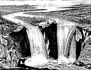
Background imageInternational Border Collection: A view of Niagara Falls

A view of Niagara Falls
5307692 A view of Niagara Falls.; (add.info.: Engraving depicting a view of Niagara Falls by Louis Hennepin)

Background imageInternational Border Collection: An engraving depicting Niagara Falls

An engraving depicting Niagara Falls
5311257 An engraving depicting Niagara Falls

Background imageInternational Border Collection: Map of southern Italy 1895

Map of southern Italy 1895

Background imageInternational Border Collection: Map of northern Italy 1895

Map of northern Italy 1895

Background imageInternational Border Collection: Map of Italy 1895

Map of Italy 1895

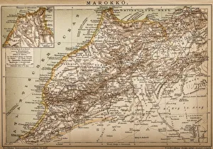
Background imageInternational Border Collection: Map of Morocco

Map of Morocco

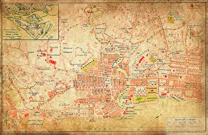
Background imageInternational Border Collection: Belgrade map 1893

Belgrade map 1893
Antique illustration of a Belgrade map 1893

Background imageInternational Border Collection: Highly detailed hand-drawn map of Argentina within the outline of South America with a compass rose and the equator

Highly detailed hand-drawn map of Argentina within the outline of South America with a compass rose and the equator

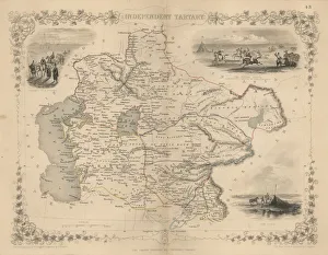
Background imageInternational Border Collection: Antique map of Independent Tartary

Antique map of Independent Tartary
Wonderfully fine engraved map 1851 of the region of Independent Tartary, which is now the area that is Kazakhstan, Uzbekistan, Turkmenistan alongside the Caspian Sea and Aral Sea

Background imageInternational Border Collection: Political outline map of Africa

Political outline map of Africa from 1898

Background imageInternational Border Collection: Abyssinia, Eritrea and South Arabia

Abyssinia, Eritrea and South Arabia
Antique illustration of a Abyssinia, Eritrea and South Arabia

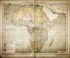
Background imageInternational Border Collection: Ethnic map of Africa

Ethnic map of Africa
Antique illustration of a ethnic map of Africa

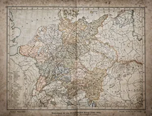
Background imageInternational Border Collection: Germany until the Thirty Years War. (1493-1618)

Germany until the Thirty Years War. (1493-1618)
Illustration of a Germany until the Thirty Years War. (1493-1618)

Background imageInternational Border Collection: Antique map of Algeria and Tunisia

Antique map of Algeria and Tunisia
Illustration of a Antique map of Algeria and Tunisia

Background imageInternational Border Collection: Travels of Our Savior Map Engraving

Travels of Our Savior Map Engraving
Engraved illustration of the Travels of Our Savior Map Engraving from The Popular Pictorial Bible, Containing the Old and New Testaments, Published in 1862. Copyright has expired on this artwork

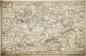
Background imageInternational Border Collection: The Rheingau

The Rheingau ( Rhine District )

Background imageInternational Border Collection: Rhenish-Westphalia coals and industrial map

Rhenish-Westphalia coals and industrial map

Background imageInternational Border Collection: England and Wales

England and Wales
Antique map of England and Wales

Background imageInternational Border Collection: Antique map of Germany

Antique map of Germany from 1815

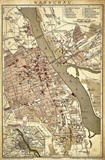
Background imageInternational Border Collection: Warsaw

Warsaw
Antique illustration of a Warsaw from 1898

Background imageInternational Border Collection: Germany 1547

Germany 1547
Antique map of Germany from 1547

Background imageInternational Border Collection: Germany

Germany
Antique map of Germany from 1648

Background imageInternational Border Collection: Germany map from 1786

Germany map from 1786
Antique map of Germany from 1786

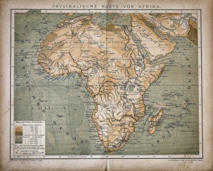
Background imageInternational Border Collection: Map of Africa

Map of Africa
Antique illustration of a map of Africa

Background imageInternational Border Collection: Equatorial Africa

Equatorial Africa
Antique illustration of a equatorial Africa

Background imageInternational Border Collection: Upper and Central Italy

Upper and Central Italy
Antique illustration of a Upper and Central Italy

Background imageInternational Border Collection: Italy

Italy
Antique illustration of Italy

Background imageInternational Border Collection: Historic watchtower of the former GDR

Historic watchtower of the former GDR, East Germany, Treptow district, Berlin, Germany, Europe

Background imageInternational Border Collection: North Carolina, NC, highlighted on a contour map of USA

North Carolina, NC, highlighted on a contour map of USA, United States of America, 3D illustration

Background imageInternational Border Collection: State of New York, NY, highlighted on a contour map of USA

State of New York, NY, highlighted on a contour map of USA, United States of America, 3D illustration

Background imageInternational Border Collection: Highly detailed hand-drawn map of Brazil within the outline of South America with a compass rose and the equator

Highly detailed hand-drawn map of Brazil within the outline of South America with a compass rose and the equator

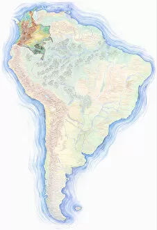
Background imageInternational Border Collection: Highly detailed hand-drawn map of Colombia within the outline of South America with a compass rose and the equator

Highly detailed hand-drawn map of Colombia within the outline of South America with a compass rose and the equator

Background imageInternational Border Collection: Highly detailed hand-drawn map of South America with Argentina highlighted

Highly detailed hand-drawn map of South America with Argentina highlighted

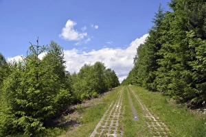
Background imageInternational Border Collection: Green Belt, former inner-German border patrol path with the overgrown death strip

Green Belt, former inner-German border patrol path with the overgrown death strip, Rennsteig, Lehesten, Thuringia, Germany

Background imageInternational Border Collection: Gafital valley, Praettigau, Raetikon mountain range

Gafital valley, Praettigau, Raetikon mountain range, Graubuenden or Grisons, Switzerland, view from Gafierjoch on the border to Austria

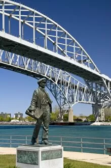
Background imageInternational Border Collection: A statue of Thomas Edison by local artist Mino Duffy sits below the Blue Water Bridge along the St

A statue of Thomas Edison by local artist Mino Duffy sits below the Blue Water Bridge along the St. Clair River at Port Huron, Michigan

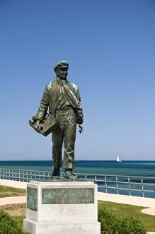
Background imageInternational Border Collection: A statue of Thomas Edison by local artist Mino Duffy along the St

A statue of Thomas Edison by local artist Mino Duffy along the St. Clair River at Port Huron, Michigan

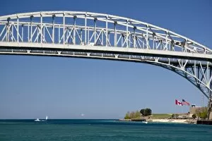
Background imageInternational Border Collection: The Blue Water Bridge is a twin-span bridge that spans the St

The Blue Water Bridge is a twin-span bridge that spans the St. Clair River between Port Huron, Michigan and Point Edward, Ontario

Background imageInternational Border Collection: Island on the Zambezi river

Island on the Zambezi river, aerial photograph. This island is upstream from Victoria Falls. Zimbabwe is the land on the left (south) riverbank and Zambia is on the right (north)

Background imageInternational Border Collection: Michael S. Nolan / SpecialistStock

Michael S. Nolan / SpecialistStock
Views of the Beagle Channel, South America. The Beagle Channel is a strait separating islands of the Tierra del Fuego Archipelago, in extreme southern South America


All products are expertly crafted, using premium materials, tailored to your specifications and promptly shipped

"Exploring the World's Dividing Lines: A Journey Through International Borders" Embarking on a visual odyssey, we delve into the intricate web of international borders that shape our global landscape. From the Political Map of Africa to China's expansive territory, and from the Political Map of The Middle East to tracing the Travels of The Apostle Paul, each map unravels stories etched in history. Ancient and Modern Jerusalem Map Engraving takes us through time as we witness the evolution of this sacred city. Meanwhile, Singapore beckons with its vibrant multiculturalism while Romania reveals its rich cultural tapestry nestled within Europe's boundaries. A Highly detailed hand-drawn map showcases Brazil's vastness within South America's embrace, adorned with a compass rose guiding explorers along the equator. In contrast, maps from 1895 unveil Italy's regional diversity - Southern Italy exuding warmth and charm while Northern Italy captivates with its majestic landscapes. As we navigate an antique map showcasing Algeria and Tunisia, echoes of ancient civilizations reverberate across these North African lands. These borders remind us how geography shapes nations but also serve as reminders that unity can transcend divisions, and are more than mere lines on a map; they represent complex histories, diverse cultures, political dynamics, and economic interactions. They symbolize both connection and separation – gateways for exchange yet barriers between nations. In this captivating journey through cartography’s lens, we gain insight into humanity’s quest for identity amidst shifting territorial boundaries. Let us celebrate these international borders not only for their geographical significance but also for their role in shaping our shared human story.

© Copyright Media Storehouse, All Rights Reserved 2003 - 2025
Facebook     Pinterest     100% Payment Secure     Reviews IO