
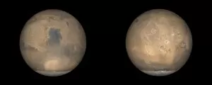
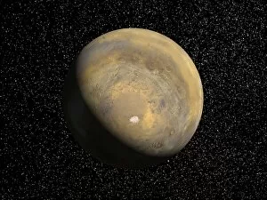
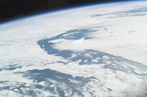
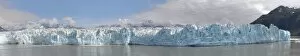
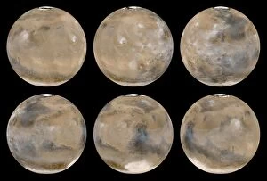
Ice Cap Collection (page 4)
"Captivating Beauty of Ice Caps: A Glimpse into Earth's Frozen Wonders" Witness the mesmerizing spectacle of our planet from space
All Professionally Made to Order for Quick Shipping
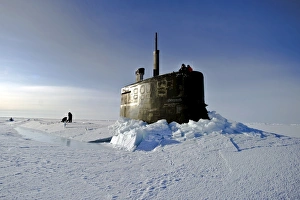
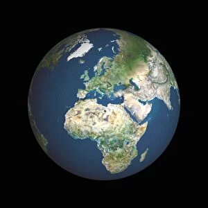
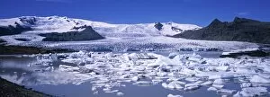
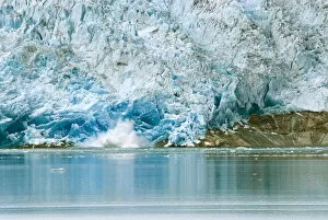
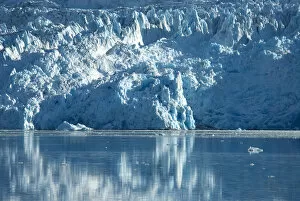
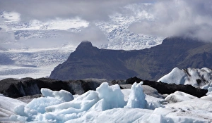
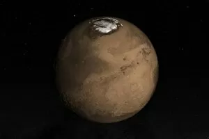
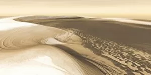
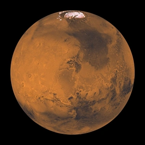
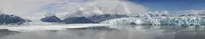
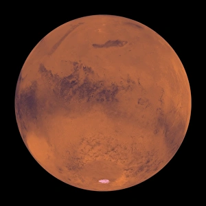
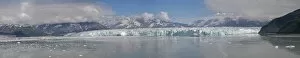
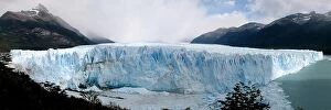
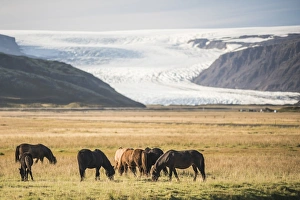
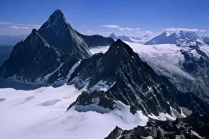
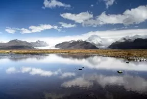
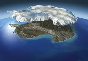
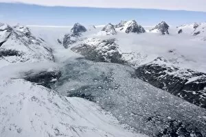
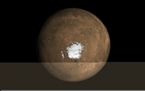
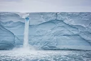
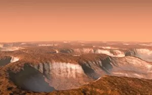
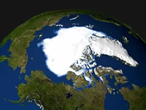
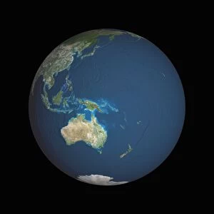
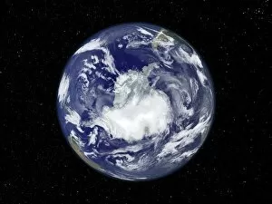
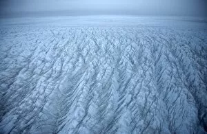
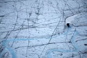
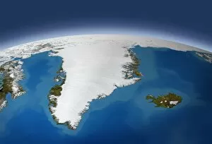
"Captivating Beauty of Ice Caps: A Glimpse into Earth's Frozen Wonders" Witness the mesmerizing spectacle of our planet from space, as the whole Earth illuminates at night, showcasing its vibrant cities and vast oceans. Behold Europe in all its glory through a satellite image, where sprawling landscapes meet bustling cities under a blanket of stars. Marvel at the grandeur of an iceberg floating majestically amidst icy waters, a true testament to nature's artistic prowess. Take flight over Vatnajokull National Park in Iceland and witness the breathtaking aerial view of Svinafellsjokull glacier, with its shimmering white expanse stretching as far as the eye can see. Immerse yourself in the enchanting winter wonderland at Langjokull ice-cap's foothills in western Highlands, Iceland - snow-clad mountains and Geita River create a picture-perfect scene straight out of a fairytale. Explore Greenland's pristine beauty with Reindeer Glacier on Denmark's majestic Greenland Ice Sheet; an awe-inspiring sight that leaves you humbled by Mother Nature's craftsmanship. Admire Icelandic horses gracefully galloping against the backdrop of Eyjafjallajokull volcano covered in glistening snow - truly capturing Iceland's ethereal charm. Encounter nature’s resilience as broken trees stand encased in ice caps surrounding Rakitnik’s bee hay – a hauntingly beautiful reminder of life’s delicate balance amid harsh conditions. Discover Argentina’s Perito Moreno Glacier nestled within UNESCO-listed Los Glaciares National Park; this frozen marvel reflects shades of blue against Argentino Lake, leaving visitors spellbound by its magnificence. Lose yourself amidst Patagonia’s rugged wilderness as icebergs dot Lake Argentino within Los Glaciares National Park – a surreal sight that transports you to another world.