Fraud Blocker Skip to main content

Holme Lane Collection

Holme Lane is a picturesque and well-connected residential area located in the heart of Yorkshire

Background imageHolme Lane Collection: Wakefield WF2 7 Map

Wakefield WF2 7 Map
Postcode Sector Map of Wakefield WF2 7

Background imageHolme Lane Collection: Bradford BD4 0 Map

Bradford BD4 0 Map
Postcode Sector Map of Bradford BD4 0

Background imageHolme Lane Collection: York YO8 3 Map

York YO8 3 Map
Postcode Sector Map of York YO8 3

Background imageHolme Lane Collection: Stockton-on-Tees TS15 0 Map

Stockton-on-Tees TS15 0 Map
Postcode Sector Map of Stockton-on-Tees TS15 0

Background imageHolme Lane Collection: Hambleton TS9 5 Map

Hambleton TS9 5 Map
Postcode Sector Map of Hambleton TS9 5

Background imageHolme Lane Collection: Sheffield S6 4 Map

Sheffield S6 4 Map
Postcode Sector Map of Sheffield S6 4

Background imageHolme Lane Collection: Sheffield S5 9 Map

Sheffield S5 9 Map
Postcode Sector Map of Sheffield S5 9

Background imageHolme Lane Collection: Newark and Sherwood NG24 2 Map

Newark and Sherwood NG24 2 Map
Postcode Sector Map of Newark and Sherwood NG24 2

Background imageHolme Lane Collection: Newark and Sherwood NG23 6 Map

Newark and Sherwood NG23 6 Map
Postcode Sector Map of Newark and Sherwood NG23 6

Background imageHolme Lane Collection: Newark and Sherwood NG23 7 Map

Newark and Sherwood NG23 7 Map
Postcode Sector Map of Newark and Sherwood NG23 7

Background imageHolme Lane Collection: North Kesteven NG34 9 Map

North Kesteven NG34 9 Map
Postcode Sector Map of North Kesteven NG34 9

Background imageHolme Lane Collection: Rushcliffe NG12 2 Map

Rushcliffe NG12 2 Map
Postcode Sector Map of Rushcliffe NG12 2

Background imageHolme Lane Collection: Newark and Sherwood NG22 8 Map

Newark and Sherwood NG22 8 Map
Postcode Sector Map of Newark and Sherwood NG22 8

Background imageHolme Lane Collection: Newark and Sherwood NG22 0 Map

Newark and Sherwood NG22 0 Map
Postcode Sector Map of Newark and Sherwood NG22 0

Background imageHolme Lane Collection: Lancaster LA2 9 Map

Lancaster LA2 9 Map
Postcode Sector Map of Lancaster LA2 9

Background imageHolme Lane Collection: South Lakeland LA11 7 Map

South Lakeland LA11 7 Map
Postcode Sector Map of South Lakeland LA11 7

Background imageHolme Lane Collection: Harrogate HG3 1 Map

Harrogate HG3 1 Map
Postcode Sector Map of Harrogate HG3 1

Background imageHolme Lane Collection: Kirklees HD9 7 Map

Kirklees HD9 7 Map
Postcode Sector Map of Kirklees HD9 7

Background imageHolme Lane Collection: Kirklees HD7 5 Map

Kirklees HD7 5 Map
Postcode Sector Map of Kirklees HD7 5

Background imageHolme Lane Collection: Derby DE21 7 Map

Derby DE21 7 Map
Postcode Sector Map of Derby DE21 7

Background imageHolme Lane Collection: Bassetlaw DN22 0 Map

Bassetlaw DN22 0 Map
Postcode Sector Map of Bassetlaw DN22 0

Background imageHolme Lane Collection: North Lincolnshire DN17 3 Map

North Lincolnshire DN17 3 Map
Postcode Sector Map of North Lincolnshire DN17 3

Background imageHolme Lane Collection: North Lincolnshire DN16 3 Map

North Lincolnshire DN16 3 Map
Postcode Sector Map of North Lincolnshire DN16 3

Background imageHolme Lane Collection: Derbyshire Dales DE45 1 Map

Derbyshire Dales DE45 1 Map
Postcode Sector Map of Derbyshire Dales DE45 1

Background imageHolme Lane Collection: Doncaster DN5 0 Map

Doncaster DN5 0 Map
Postcode Sector Map of Doncaster DN5 0

Background imageHolme Lane Collection: North Yorkshire DL8 3 Map

North Yorkshire DL8 3 Map
Postcode Sector Map of North Yorkshire DL8 3

Background imageHolme Lane Collection: Carlisle CA5 6 Map

Carlisle CA5 6 Map
Postcode Sector Map of Carlisle CA5 6

Background imageHolme Lane Collection: Carlisle CA4 8 Map

Carlisle CA4 8 Map
Postcode Sector Map of Carlisle CA4 8

Background imageHolme Lane Collection: Carlisle CA3 9 Map

Carlisle CA3 9 Map
Postcode Sector Map of Carlisle CA3 9

Background imageHolme Lane Collection: BD Bradford, BD23 6

BD Bradford, BD23 6
BD23 6

Background imageHolme Lane Collection: Bradford BD20 8 Map

Bradford BD20 8 Map
Postcode Sector Map of Bradford BD20 8

Background imageHolme Lane Collection: Bradford BD20 7 Map

Bradford BD20 7 Map
Postcode Sector Map of Bradford BD20 7

Background imageHolme Lane Collection: Rossendale BB4 6 Map

Rossendale BB4 6 Map
Postcode Sector Map of Rossendale BB4 6

Background imageHolme Lane Collection: Purbeck BH20 6 Map

Purbeck BH20 6 Map
Postcode Sector Map of Purbeck BH20 6

Background imageHolme Lane Collection: Wiltshire BA13 4 Map

Wiltshire BA13 4 Map
Postcode Sector Map of Wiltshire BA13 4


All Professionally Made to Order for Quick Shipping

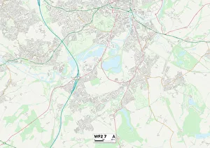
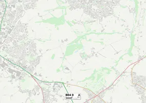
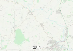
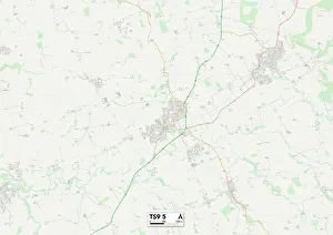
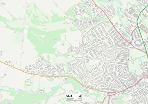
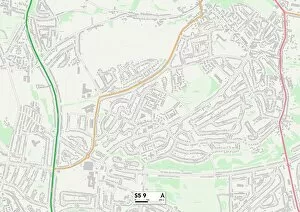
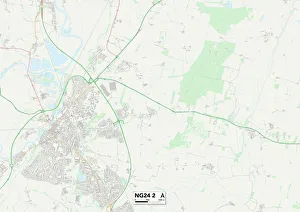
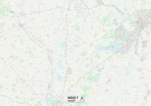
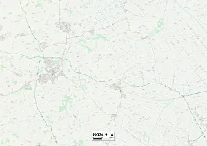
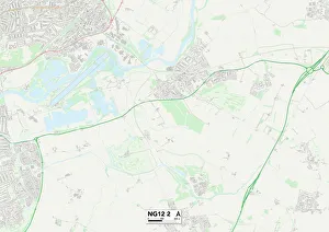
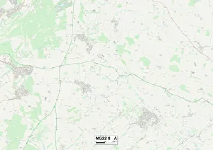
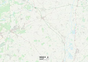
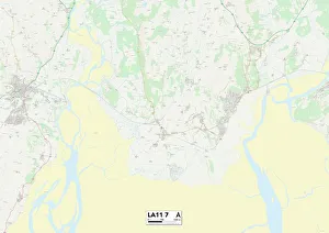
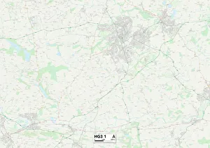
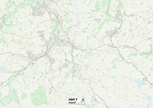
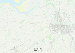
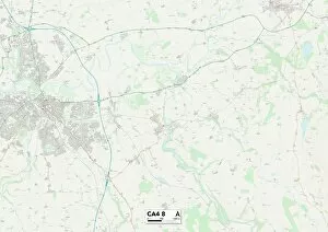
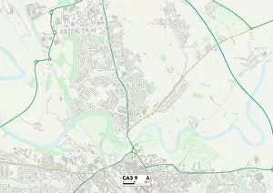
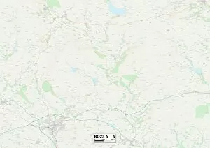
Holme Lane is a picturesque and well-connected residential area located in the heart of Yorkshire. Situated between Wakefield, Bradford, York, Stockton-on-Tees, Hambleton, Sheffield, Newark and Sherwood, North Kesteven, and Rushcliffe; Holme Lane offers its residents easy access to a multitude of amenities and attractions. With its central location on the map (Wakefield WF2 7 Map), Holme Lane provides convenient transportation links to nearby cities. Whether you're looking for a day trip to explore the historical landmarks in York (YO8 3 Map) or craving some retail therapy in bustling Bradford (BD4 0 Map), everything is just a short drive away. Nature enthusiasts will be delighted by the proximity of beautiful green spaces such as Hambleton (TS9 5 Map) and Sheffield's stunning countryside areas like S6 4 Map. These locations offer endless opportunities for outdoor activities like hiking, cycling or simply enjoying a peaceful picnic surrounded by nature's beauty. For those seeking cultural experiences or entertainment options closer to home, both Sheffield S5 9 Map and Newark & Sherwood NG24 2/NG23 6/NG23 7 Maps have an array of museums, galleries and theaters that cater to all interests. Immerse yourself in art exhibitions or catch an exciting live performance - there's something for everyone. It also benefits from being situated near thriving communities such as North Kesteven NG34 9 Map where you can engage with friendly locals at community events or enjoy local delicacies at charming cafes and restaurants. Additionally, if you're looking for educational opportunities or career prospects within commuting distance from your doorstep then Rushcliffe NG12 2 Map is conveniently close by offering excellent schools/universities as well as job opportunities across various industries.