Fraud Blocker Skip to main content

Holly Close Collection

"Holly Close

Background imageHolly Close Collection: Tamworth B79 8 Map

Tamworth B79 8 Map
Postcode Sector Map of Tamworth B79 8

Background imageHolly Close Collection: North Yorkshire YO18 8 Map

North Yorkshire YO18 8 Map
Postcode Sector Map of North Yorkshire YO18 8

Background imageHolly Close Collection: Wychavon WR9 7 Map

Wychavon WR9 7 Map
Postcode Sector Map of Wychavon WR9 7

Background imageHolly Close Collection: Swindon SN2 1 Map

Swindon SN2 1 Map
Postcode Sector Map of Swindon SN2 1

Background imageHolly Close Collection: Hampshire RG26 5 Map

Hampshire RG26 5 Map
Postcode Sector Map of Hampshire RG26 5

Background imageHolly Close Collection: Chorley PR6 7 Map

Chorley PR6 7 Map
Postcode Sector Map of Chorley PR6 7

Background imageHolly Close Collection: Harborough LE16 7 Map

Harborough LE16 7 Map
Postcode Sector Map of Harborough LE16 7

Background imageHolly Close Collection: Leeds LS10 4 Map

Leeds LS10 4 Map
Postcode Sector Map of Leeds LS10 4

Background imageHolly Close Collection: Epsom and Ewell KT19 8 Map

Epsom and Ewell KT19 8 Map
Postcode Sector Map of Epsom and Ewell KT19 8

Background imageHolly Close Collection: Welwyn Hatfield AL10 9 Map

Welwyn Hatfield AL10 9 Map
Postcode Sector Map of Welwyn Hatfield AL10 9

Background imageHolly Close Collection: Wolverhampton WV8 1 Map

Wolverhampton WV8 1 Map
Postcode Sector Map of Wolverhampton WV8 1

Background imageHolly Close Collection: Wakefield WF4 1 Map

Wakefield WF4 1 Map
Postcode Sector Map of Wakefield WF4 1

Background imageHolly Close Collection: Wolverhampton WV12 5 Map

Wolverhampton WV12 5 Map
Postcode Sector Map of Wolverhampton WV12 5

Background imageHolly Close Collection: North Yorkshire YO7 1 Map

North Yorkshire YO7 1 Map
Postcode Sector Map of North Yorkshire YO7 1

Background imageHolly Close Collection: Wolverhampton WV14 6 Map

Wolverhampton WV14 6 Map
Postcode Sector Map of Wolverhampton WV14 6

Background imageHolly Close Collection: West Lancashire WN8 8 Map

West Lancashire WN8 8 Map
Postcode Sector Map of West Lancashire WN8 8

Background imageHolly Close Collection: Shropshire SY12 9 Map

Shropshire SY12 9 Map
Postcode Sector Map of Shropshire SY12 9

Background imageHolly Close Collection: Rother TN39 4 Map

Rother TN39 4 Map
Postcode Sector Map of Rother TN39 4

Background imageHolly Close Collection: Cornwall TR3 6 Map

Cornwall TR3 6 Map
Postcode Sector Map of Cornwall TR3 6

Background imageHolly Close Collection: Spelthorne TW16 6 Map

Spelthorne TW16 6 Map
Postcode Sector Map of Spelthorne TW16 6

Background imageHolly Close Collection: Hounslow TW13 6 Map

Hounslow TW13 6 Map
Postcode Sector Map of Hounslow TW13 6

Background imageHolly Close Collection: Runnymede TW20 0 Map

Runnymede TW20 0 Map
Postcode Sector Map of Runnymede TW20 0

Background imageHolly Close Collection: New Forest SO45 3 Map

New Forest SO45 3 Map
Postcode Sector Map of New Forest SO45 3

Background imageHolly Close Collection: Eastleigh SO31 7 Map

Eastleigh SO31 7 Map
Postcode Sector Map of Eastleigh SO31 7

Background imageHolly Close Collection: Shropshire SY4 3 Map

Shropshire SY4 3 Map
Postcode Sector Map of Shropshire SY4 3

Background imageHolly Close Collection: Sutton SM6 0 Map

Sutton SM6 0 Map
Postcode Sector Map of Sutton SM6 0

Background imageHolly Close Collection: Tameside SK15 2 Map

Tameside SK15 2 Map
Postcode Sector Map of Tameside SK15 2

Background imageHolly Close Collection: Central Bedfordshire SG18 0 Map

Central Bedfordshire SG18 0 Map
Postcode Sector Map of Central Bedfordshire SG18 0

Background imageHolly Close Collection: South Buckinghamshire SL2 3 Map

South Buckinghamshire SL2 3 Map
Postcode Sector Map of South Buckinghamshire SL2 3

Background imageHolly Close Collection: Wiltshire SN11 0 Map

Wiltshire SN11 0 Map
Postcode Sector Map of Wiltshire SN11 0

Background imageHolly Close Collection: South Oxfordshire RG9 5 Map

South Oxfordshire RG9 5 Map
Postcode Sector Map of South Oxfordshire RG9 5

Background imageHolly Close Collection: Kennet SN9 5 Map

Kennet SN9 5 Map
Postcode Sector Map of Kennet SN9 5

Background imageHolly Close Collection: Wakefield WF9 2 Map

Wakefield WF9 2 Map
Postcode Sector Map of Wakefield WF9 2

Background imageHolly Close Collection: Wakefield WF8 2 Map

Wakefield WF8 2 Map
Postcode Sector Map of Wakefield WF8 2

Background imageHolly Close Collection: Wychavon WR11 7 Map

Wychavon WR11 7 Map
Postcode Sector Map of Wychavon WR11 7

Background imageHolly Close Collection: Wychavon WR11 1 Map

Wychavon WR11 1 Map
Postcode Sector Map of Wychavon WR11 1

Background imageHolly Close Collection: York YO23 2 Map

York YO23 2 Map
Postcode Sector Map of York YO23 2

Background imageHolly Close Collection: York YO41 1 Map

York YO41 1 Map
Postcode Sector Map of York YO41 1

Background imageHolly Close Collection: York YO31 0 Map

York YO31 0 Map
Postcode Sector Map of York YO31 0

Background imageHolly Close Collection: Berkshire RG19 8 Map

Berkshire RG19 8 Map
Postcode Sector Map of Berkshire RG19 8

Background imageHolly Close Collection: North East Derbyshire S21 1 Map

North East Derbyshire S21 1 Map
Postcode Sector Map of North East Derbyshire S21 1

Background imageHolly Close Collection: Rother TN21 8 Map

Rother TN21 8 Map
Postcode Sector Map of Rother TN21 8

Background imageHolly Close Collection: Trafford WA15 6 Map

Trafford WA15 6 Map
Postcode Sector Map of Trafford WA15 6

Background imageHolly Close Collection: St. Helens WA10 4 Map

St. Helens WA10 4 Map
Postcode Sector Map of St. Helens WA10 4

Background imageHolly Close Collection: Hampshire RG27 0 Map

Hampshire RG27 0 Map
Postcode Sector Map of Hampshire RG27 0

Background imageHolly Close Collection: Sedgemoor TA6 6 Map

Sedgemoor TA6 6 Map
Postcode Sector Map of Sedgemoor TA6 6

Background imageHolly Close Collection: Sedgemoor TA6 4 Map

Sedgemoor TA6 4 Map
Postcode Sector Map of Sedgemoor TA6 4

Background imageHolly Close Collection: Somerset TA1 2 Map

Somerset TA1 2 Map
Postcode Sector Map of Somerset TA1 2


All Professionally Made to Order for Quick Shipping

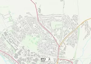
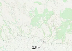
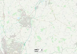
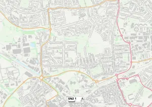
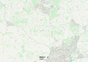
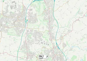
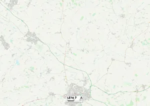
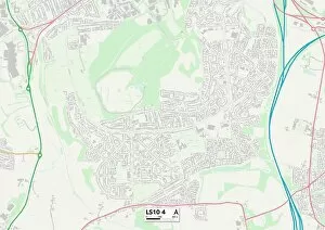
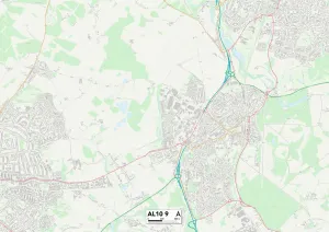
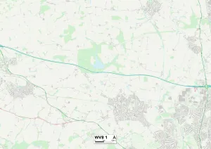
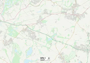
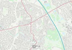
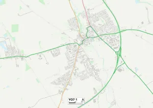
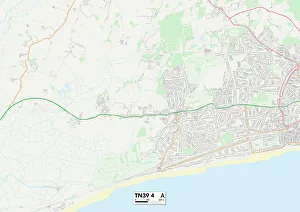
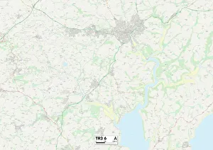
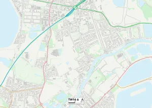
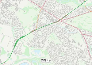
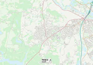
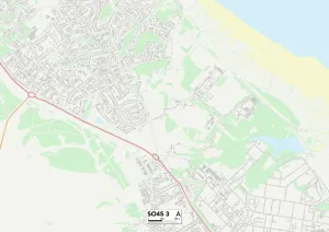
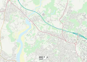
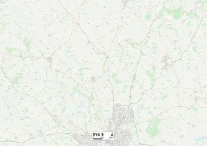
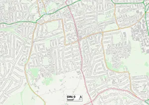
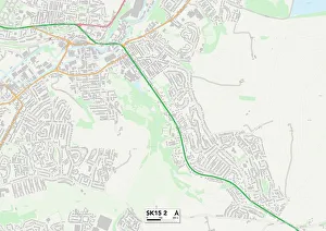
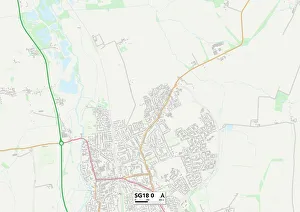
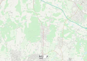
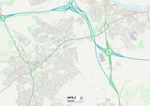
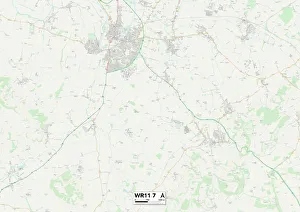
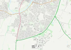
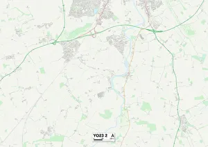
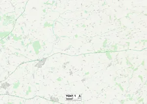
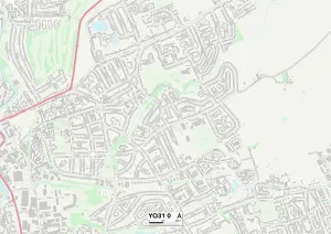
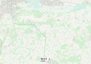
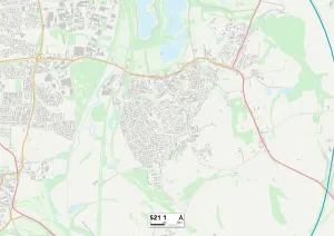
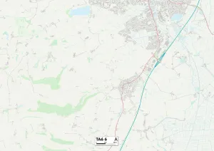
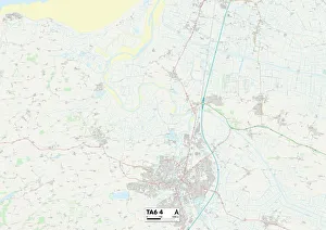
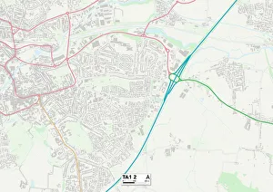
"Holly Close: A Journey Across the UK's Beautiful Landscapes" Embark on a captivating journey through some of the most picturesque locations in the United Kingdom with Holly Close. From Tamworth's charming B79 8 Map to North Yorkshire's serene YO18 8 Map, each destination promises breathtaking beauty and unforgettable experiences. Wander through Wychavon's WR9 7 Map, where rolling hills meet quaint villages, offering a true taste of rural England. Explore Swindon's SN2 1 Map, a vibrant town that seamlessly blends history and modernity, boasting stunning architecture and cultural delights. Discover Chorley's PR6 7 Map, nestled amidst lush greenery and dotted with tranquil lakes - an idyllic retreat for nature enthusiasts. Uncover Harborough's LE16 7 Map, where ancient market towns showcase their rich heritage against a backdrop of stunning countryside. Immerse yourself in Leeds' LS10 4 Map bustling cityscape - a hub of creativity and innovation that never fails to captivate visitors. Experience Welwyn Hatfield's AL10 9 Map unique charm as you stroll through its picturesque streets lined with historic buildings. Indulge your senses in Wolverhampton's WV8 1 & WV12 5 Maps; these dynamic cities offer an eclectic mix of culture, entertainment, and natural beauty at every turn. Wakefield’s WF4-1 map will lead you to hidden gems such as art galleries and museums waiting to be explored. Finally, lose yourself in the enchanting landscapes of North Yorkshire once again with YO7-1 map – from rugged moors to charming villages steeped in history – this region is truly awe-inspiring. Join us on this incredible adventure across the diverse landscapes of the UK as we uncover hidden treasures along Holly Close.