
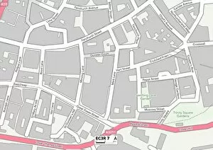
Hart Street Collection
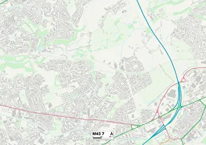
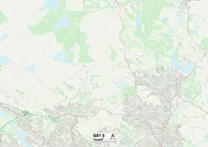
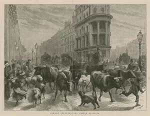
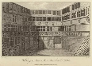
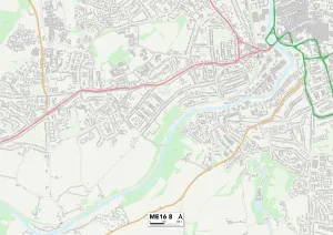
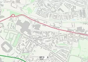
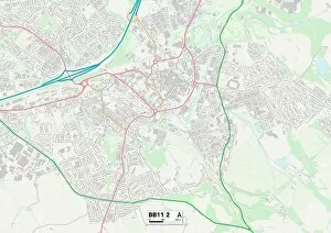
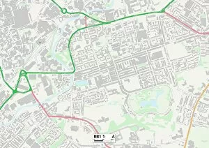
Hart Street, a hidden gem tucked away in the heart of Tameside M43 7 Map and West Dunbartonshire G81 5 Map, holds a rich history waiting to be explored


All Professionally Made to Order for Quick Shipping
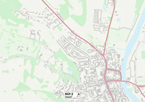
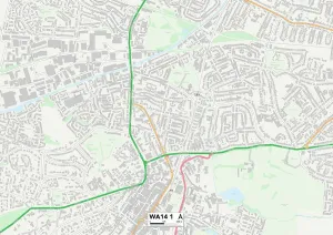
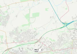
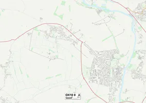
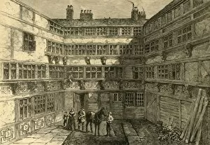
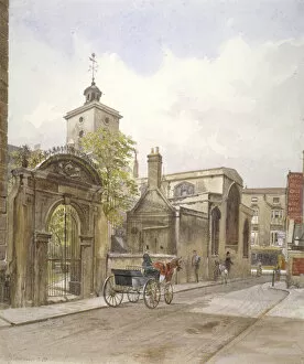
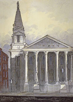
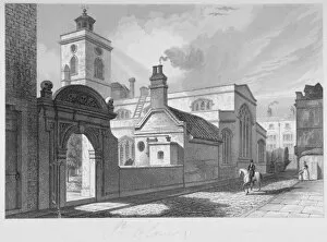
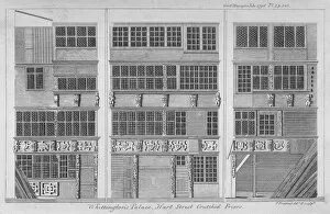
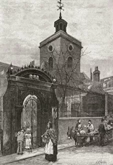
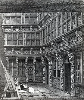
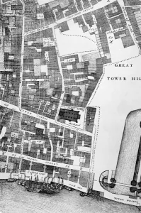
Hart Street, a hidden gem tucked away in the heart of Tameside M43 7 Map and West Dunbartonshire G81 5 Map, holds a rich history waiting to be explored. As you wander through this quaint street, you'll stumble upon architectural marvels like St Olives Church and the Church of St Peter le Poor in Broad Street, London (engraving). These stunning structures stand as testaments to the craftsmanship of yesteryears. Immerse yourself in the past with glimpses into grandeur through engravings such as "An Upper Apartment of the same Magnificent Mansion, " published in Smiths' collection. The intricate details transport you back to an era where opulence was celebrated. But not all engravings depict lavishness; some shed light on societal issues like "The Cattle Nuisance. " This thought-provoking artwork serves as a reminder that even amidst beauty, challenges persist. One cannot mention Hart Street without acknowledging its connection to Sir Richard Whittington's House at Crutched Friars. Engraved depictions bring this historical landmark alive and invite us to imagine what life was like within those walls. London City Churches also grace Hart Street's landscape, including St Olave (b/w photo), which stands tall as a symbol of faith and resilience. Its timeless architecture is truly captivating. Beyond these borders lie other destinations worth exploring - South Oxfordshire RG9 2 Map, Walsall WS1 3 Map, Trafford WA14 1 Map, Renfrewshire PA3 3 Map - each offering their own unique charm and stories waiting to be discovered. So venture forth into Hart Street's embrace and let it guide you through time and space. Lose yourself in its enchanting alleys while tracing your fingers along maps like South Oxfordshire OX10 0 Map that lead you deeper into its mysteries.