
Harold Street Collection
Harold Street, a road that stretches across various cities and towns in the United Kingdom, is a symbol of connectivity and diversity


All Professionally Made to Order for Quick Shipping
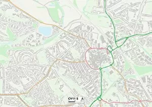
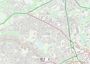
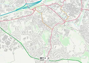
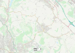
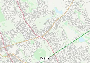
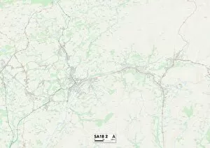
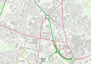
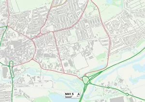
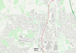
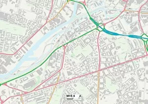
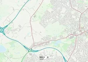
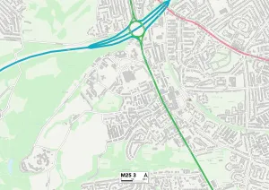
Harold Street, a road that stretches across various cities and towns in the United Kingdom, is a symbol of connectivity and diversity. Starting from York's YO8 8 Map, it weaves its way through Rochdale's OL16 2 Map and Leicester's LE2 8 Map, connecting communities along the way. As you venture further along Harold Street, you'll find yourself in Bolton's BL1 3 area, where the hustle and bustle of city life merges with charming suburban streets. The journey continues to Burnley's BB11 4 Map, where picturesque landscapes unfold before your eyes. Wigan's WN2 1 Map welcomes you next on this captivating route. Here lies a town brimming with history and culture. Moving forward into Staffordshire at ST6 1 Map reveals stunning countryside views that will leave you breathless. The path then leads to Sheffield's S6 3 Map - a vibrant city known for its industrial heritage and thriving arts scene. As Harold Street ventures further south into Carmarthenshire at SA18 2 Map, rolling hillsides and quaint villages greet travelers with open arms. Stockport's SK1 4 map awaits just around the corner; an urban oasis filled with shopping districts and architectural marvels. Finally reaching Nottingham at NG2 4 map showcases a lively cityscape bustling with students and rich history. Concluding our journey is Oldham at OL9 6 map – a town steeped in textile heritage but embracing modernity as well. Harold Street serves as more than just a physical connection between these places; it represents unity among diverse communities spread across different regions of the UK. So hop on board this virtual tour down Harold Street – an avenue that unites people from all walks of life while showcasing the beauty found within each unique location it passes through.