
From Air Collection
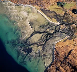
Discover the breathtaking beauty of Scotland from air: From the stunning Barrisdale Bay, where fresh water channels flow into Loch Hourn


All Professionally Made to Order for Quick Shipping
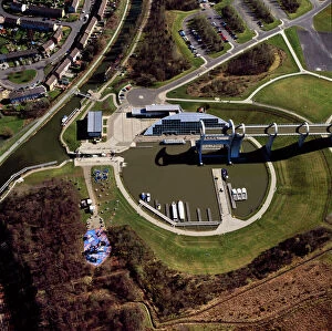
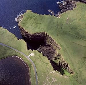
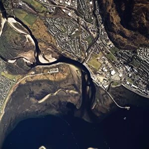
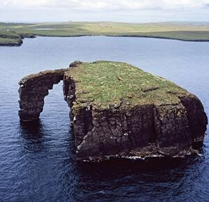
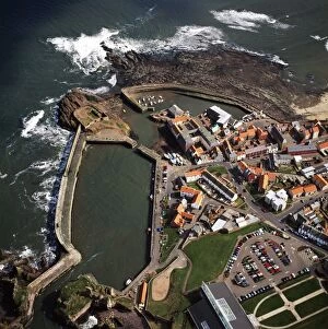
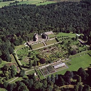
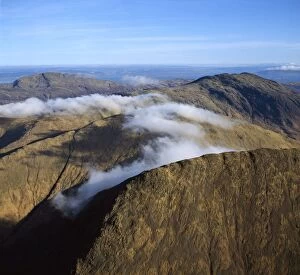
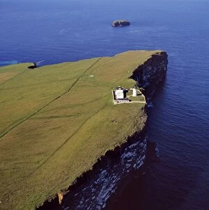
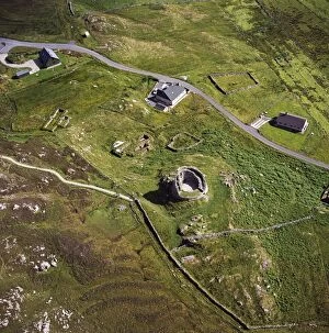
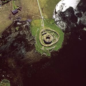
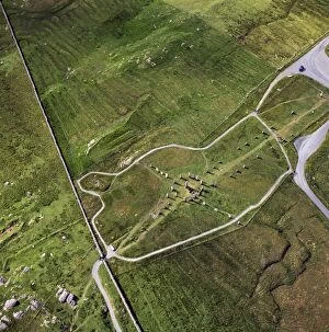
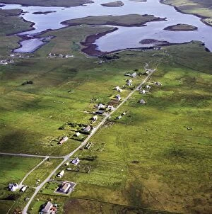
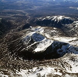
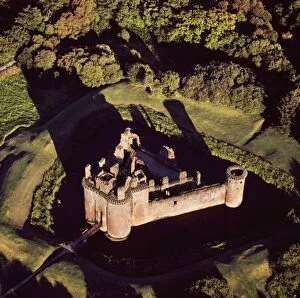
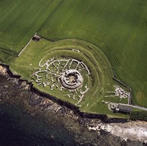
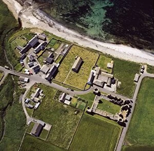
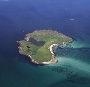
Discover the breathtaking beauty of Scotland from air: From the stunning Barrisdale Bay, where fresh water channels flow into Loch Hourn, to the architectural marvel of The Falkirk Wheel connecting canals with grace. Explore Molokai's enchanting landscapes and witness the majestic Forth Bridge spanning over the Firth of Forth. Marvel at Grangemouth Docks and oil refinery, a testament to Scotland's industrial prowess. Admire the dramatic volcanic cliffs of Esha Ness in Shetland Islands. Experience Fort William nestled by Loch Linnhe and Loch Eil, a gateway to Highland wonders. Uncover history at ruined churches like Eynhallow Island or Glamis Castle, once home to royalty. And don't miss Dunstaffnage Castle and Dunnideer Castle, standing strong against time in their picturesque settings. Let these aerial views transport you to Scotland's captivating landscapes.