
Essex Road Collection
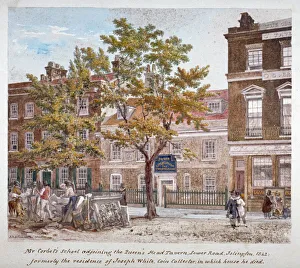
"Essex Road: A Glimpse into 19th Century London" Step back in time to the bustling streets of Essex Road, Islington, London in the year 1842


All Professionally Made to Order for Quick Shipping
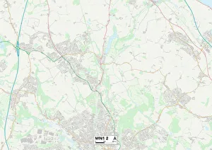
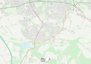
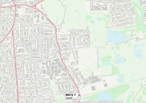
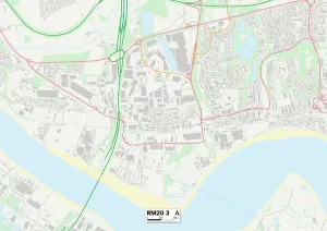
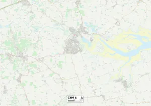
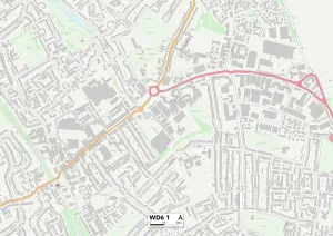
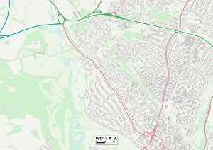
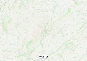
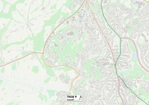
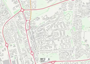
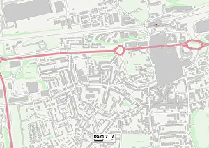
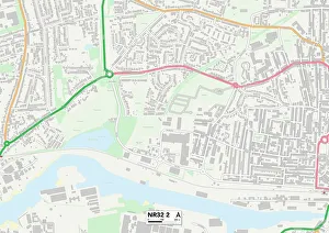
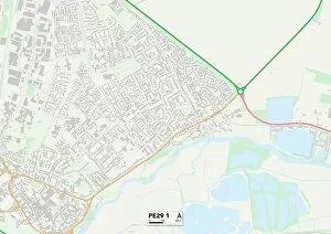
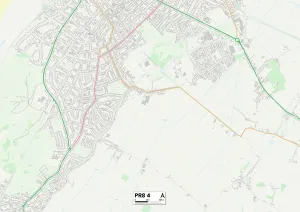
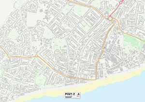
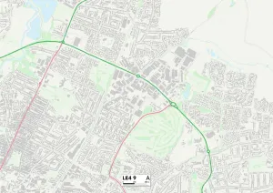
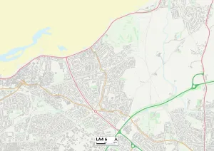
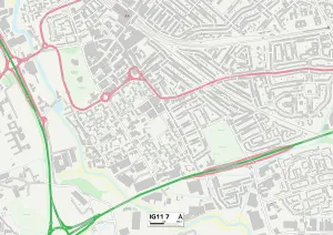
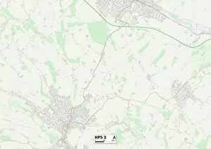
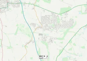
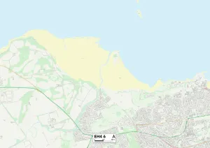
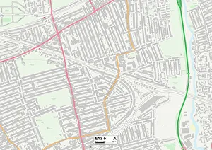
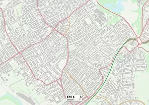
"Essex Road: A Glimpse into 19th Century London" Step back in time to the bustling streets of Essex Road, Islington, London in the year 1842. Renowned artist Robert Blemmell Schnebbelie captures the essence of this vibrant neighborhood through his intricate artwork. As we explore this historic area, let us embark on a journey that stretches far beyond its boundaries. From Wigan's WN1 2 Map to Barnsley's S70 4 Map, Essex Road connects communities and cultures across England. Venturing further eastward, we encounter Barking and Dagenham's RM10 7 Map and Thurrock's RM20 3 Map. These locations serve as testament to the road's significance as a vital artery linking towns and cities together. Heading southwards towards Maldon's CM9 6 Map, Hertsmere's WD6 1 Map, and Watford’s WD17 4 Map; Essex Road continues its path through picturesque landscapes while connecting diverse communities along its way. The road then meanders westward towards Shropshire’s SY6 6 map before reaching Hastings' TN38 9 map - each stop offering a unique glimpse into local history and culture. Finally arriving at Stevenage’s SG1 3 map and Hampshire’s RG21-7 map; it becomes evident that Essex Road has left an indelible mark on every place it touches. It serves not only as a physical route but also as a conduit for ideas, trade, and human connection throughout centuries past. So next time you find yourself strolling along Essex Road or any of its connected paths across England, take a moment to appreciate the rich tapestry of stories woven within these historical maps.