
Equator Line Collection
Discover the fascinating world of the Equator, the imaginary line that circles the globe, dividing it into Northern and Southern Hemispheres


All Professionally Made to Order for Quick Shipping
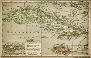
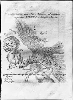
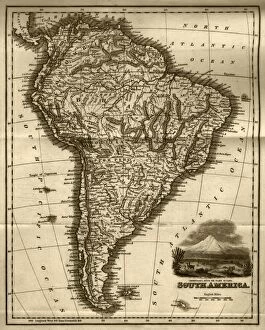
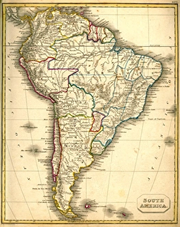
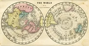
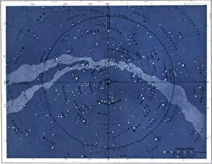
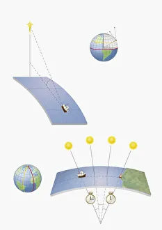
Discover the fascinating world of the Equator, the imaginary line that circles the globe, dividing it into Northern and Southern Hemispheres. This line of equal day and night passes through 14 countries, including those in the Caribbean (as depicted in this vintage map), where the Tropic of Cancer and the Equator meet. In 1609, the Caribbean was the site of the first observation of a comet, which Johannes Hevelius named after the Roman god of the sun, Comet Halley. Navigators of old relied on various methods to determine their position at sea, including the use of maps like this early 19th-century steel engraving of South America or this antique map of South America. The Equator marked an essential reference point for sailors, as it helped them determine their latitude. Explore the wonders of the Northern Hemisphere, as depicted in this horizontal projection map of the world from 1856, or the polar projection map, which highlights the unique features of the Arctic and Antarctic regions. For a more immersive experience, consult this vintage engraving of a planetarium, which offers a glimpse into the night sky above, where the Northern Hemisphere's stars and constellations hold the secrets to navigating the vast expanse of the universe. Delve deeper into the mysteries of the Equator and the world around us by studying the methods of navigation used in the past, such as determining longitude through the observation of lunar phases or the use of celestial bodies like the North Star.