
Earth Collection
"Exploring Earth: A Journey through Time and Space" In the vastness of the universe, our home planet, Earth, holds a special place


All Professionally Made to Order for Quick Shipping
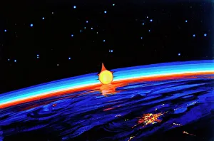
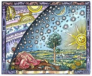
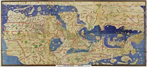
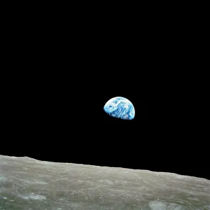
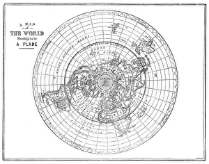
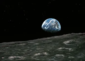
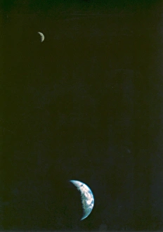
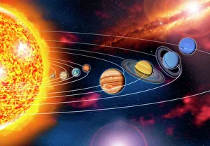
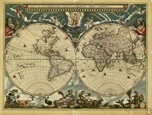
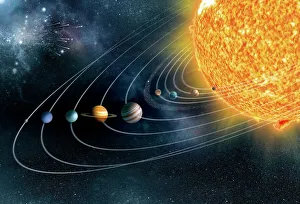
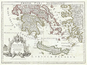
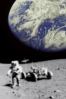
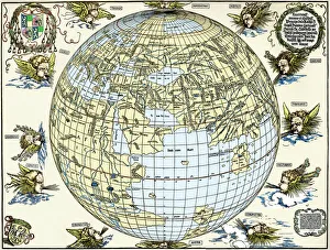
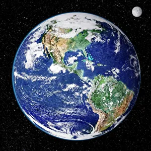
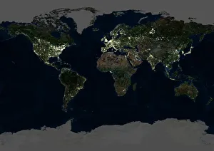
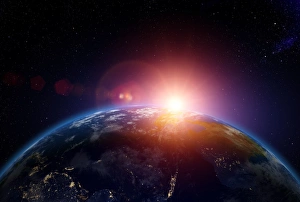
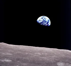
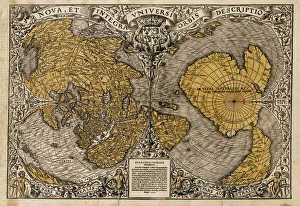
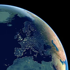
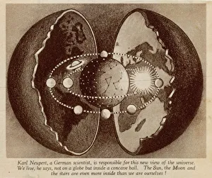
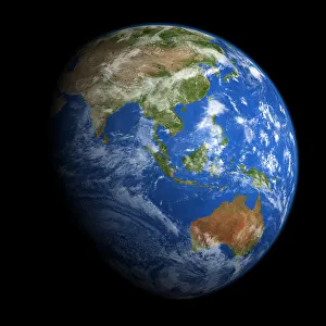
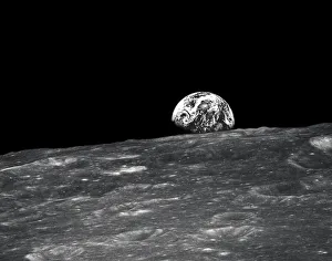
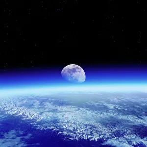
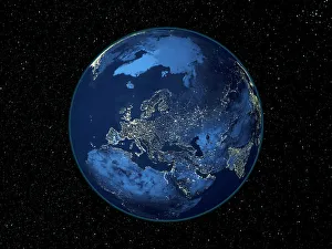
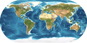
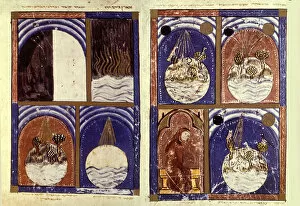
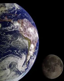
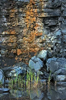
"Exploring Earth: A Journey through Time and Space" In the vastness of the universe, our home planet, Earth, holds a special place. From its breathtaking landscapes to its intricate ecosystems, a marvel that has captivated humanity for centuries. (Sunrise in Space by Leonov) As astronauts gaze out into the cosmos from their space stations, they witness spectacular sunrises over our blue planet. The vibrant colors paint a picture of hope and new beginnings. (Al-Idrisi's world map, 1154) Centuries ago, cartographers like Al-Idrisi meticulously crafted maps that showcased Earth's diverse continents and oceans. These ancient depictions remind us of how far we have come in understanding our world. (Earthrise over Moon, Apollo 8) The iconic photograph taken during the Apollo 8 mission captures an awe-inspiring moment when humans first witnessed Earth rising above the lunar horizon. It serves as a reminder of our interconnectedness and fragility on this pale blue dot. (Flat Earth map of the world showing it to be a plane) Throughout history, different beliefs about the shape of our planet have emerged. This flat earth map represents an era when knowledge was limited but curiosity boundless. (First Picture of the Earth and Moon in a Single Frame) In another milestone for space exploration, we marveled at seeing both our celestial neighbor and ourselves together in one frame. It symbolizes humanity's quest for discovery beyond our earthly boundaries. (Earthrise photograph artwork) Artists have been inspired by this profound image too; they transform it into stunning works that evoke emotions and provoke contemplation about mankind's place in the universe. (The Coming of Spring, 1899 (c1930). Creator: Edward Atkinson Hornel) Nature has always played an essential role on Earth – seasons change with rhythmic precision. Paintings like "The Coming of Spring" capture the beauty and renewal that spring brings, reminding us of Earth's eternal cycles.