
Dronfield Collection
"Dronfield: A Rich Tapestry of History and Charm" Step back in time with a journey through the captivating history of Dronfield


All Professionally Made to Order for Quick Shipping
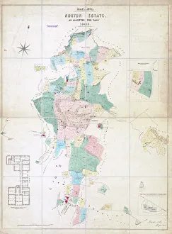
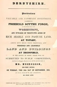
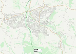
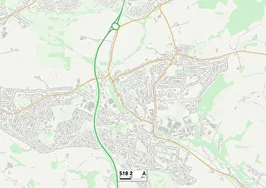
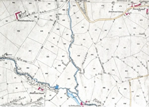
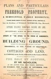
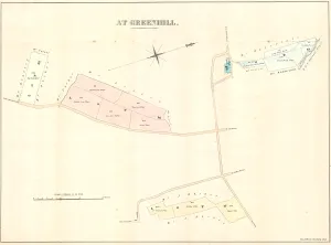
"Dronfield: A Rich Tapestry of History and Charm" Step back in time with a journey through the captivating history of Dronfield. From its early days as Norton Estate, allotted for sale in 1849, to the pre-1839 Map of Derbyshire that showcases its strategic location, this town has always held significance. In 1855, valuable investments were made in Dronfield, including a freehold scythe forge on the picturesque River Sheaf and workshops spread across more than 32 acres of fertile arable and pasture land at Totley. These ventures brought prosperity and shaped the landscape we see today. Delve even further into history with maps from centuries past. The 1695 Map of Darbyshire by Rob Morden reveals how Dronfield was an integral part of this county's story. Similarly, John Seller's c. 1668 County Map highlights its importance during those times. Witness the evolution High Street through snapshots from the early 1900s. Immerse yourself in bustling scenes where locals went about their daily lives amidst charming architecture and vibrant shops that lined this historic thoroughfare. Explore beyond the town center to discover Woodthorpe Hall Farm in Holmesfield parish—a place intricately linked to Dronfield's heritage since 1736 according to historical maps. These glimpses into rural life offer a glimpse into the region's agricultural roots. Fast forward to modern times when Crufts—the renowned dog show—showcased Holly Attwood from Dronfield alongside her beloved Pug named Dot as Best Breed winner at NEC Birmingham in March 2023. This achievement adds another layer to Dronfield's diverse tapestry. As you navigate through North East Derbyshire using maps like Ordnance Survey map: Totley (1876) or North East Derbyshire S18 1 Map, let your imagination transport you back centuries while appreciating the beauty of this county.