
Division Street Collection
"Division Street: A Journey Through Time and Space" Step into the past with a captivating exploration of Division Street


All Professionally Made to Order for Quick Shipping
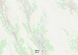
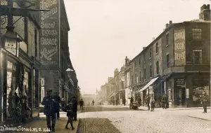
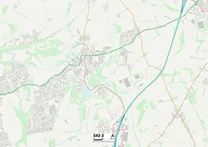
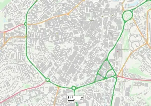
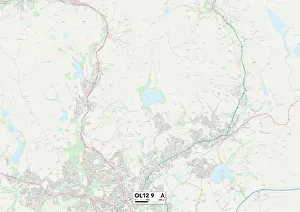
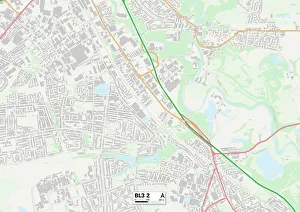
"Division Street: A Journey Through Time and Space" Step into the past with a captivating exploration of Division Street. From Blaenau Gwent NP13 1 Map to Chesterfield S43 3 Map, this street has left its mark on various cities across the globe. Let's begin our journey in Sheffield, c. 1900, where Division Street was bustling with life. The vibrant energy of the city can still be felt today as you stroll through Sheffield S1 4 Map. Moving further north, we find ourselves in Rochdale OL12 9 Map, where Division Street continues to weave its way through history. But it doesn't stop there. Bolton BL3 2 Map reveals yet another chapter of Division Street's story. This street knows no boundaries as Plate 26 showcases a map bounded by Ludlow Street, Rivington Street, Ridge Street, and Division - an intersection that witnessed countless tales unfold. As we delve deeper into the heart of New York City, Plates 12 and 22 present maps bounded by Rutgers Street, South Street Market; Attorney Street; Allen Streets respectively – all intersecting with Division. These intersections serve as gateways to diverse communities and cultures that have shaped this iconic street over time. Plate 20 takes us back to Manhattan's Lower East Side – a melting pot of cultures bound by Rivington St. , Columbia St. , Grand St. , and Division St. Here lies a tapestry woven from different backgrounds that adds vibrancy to every step along this historic path. Finally reaching Plate 15 and Plate17 at last. We discover maps bounded by Jefferson St. , South St. ; Pike Slip; Grand St. ; Jackson Streets respectively – each embracing their own unique stories within the embrace of Division’s presence. DivisionStreet stands tall as more than just a name on a map—it represents unity amidst diversity—a symbol of connection between people from all walks of life who have called these streets home.