
Courland Collection
Courland, a historical region located along the Baltic Sea, holds a rich and fascinating past


All Professionally Made to Order for Quick Shipping
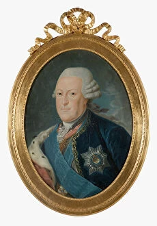
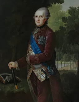
Courland, a historical region located along the Baltic Sea, holds a rich and fascinating past. From ancient maps showcasing its prominence to portraits of influential figures who shaped its destiny, Courland's story unfolds through these captivating glimpses into history. In the early 18th century, Homann's map presents us with an exquisite depiction of Baltikum Ducatuum Livoniae et Curlandiae cum vicinis Insulis Nova Exhibitio Geographica. This intricate artwork showcases the region's strategic location and maritime significance during that era. Moving forward in time, we encounter an Atlas de la Livonie from 1798, offering a general overview of Estonia and Latvia. The map provides valuable insights into Courland's geographical context within this larger framework. Diving deeper into Courland's political landscape, we come across portraits of notable dukes who held power over the region. Jacob Kettler and Frederick Casimir Kettler are immortalized in art as influential rulers during their respective reigns in the late 17th century. Ferdinand Kettler also graces our visual journey as another Duke and Semigallia. Not limited to male leaders alone, Charlotte Sophie stands out as Duchess with her portrait capturing her grace and elegance. Additionally, Prince Alexander leaves his mark on history through his representation in portraiture from the second half of the 17th century. As we explore further back in time through Joan Blaeu's Lyefland Map from Vulgo Lyefland Atlas Maior or Abraham Ortelius' portrayal of The Baltic Sea from Theatrum Orbis Terrarum dating back to c. 1608-1610; it becomes evident that Courland has long been recognized for its coastal beauty and strategic importance within Europe. Finally, a glimpse into Courland's more recent past is offered by a map dated 1838 which allows us to witness the changes that occurred over time.