Fraud Blocker Skip to main content

Continent Collection (page 2)

"Exploring the Vastness: A Journey through Continents" Al-Idrisi's World Map, 1154: Unveiling the ancient knowledge of continents and their boundaries

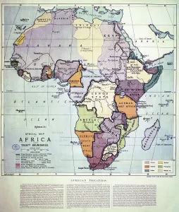
Background imageContinent Collection: Map of Africa showing Treaty Boundaries, 1891 (colour lithograph)

Map of Africa showing Treaty Boundaries, 1891 (colour lithograph)
XCF282018 Map of Africa showing Treaty Boundaries, 1891 (colour lithograph) by English School, (19th century); British Museum, London, UK; English, out of copyright

Background imageContinent Collection: Southeast Asia at night, satellite image

Southeast Asia at night, satellite image
Southeast Asia at night. Satellite image of the Earth seen at 18:00 (6pm) GMT (UCT), centred on China. City lights (yellow) show areas of dense population, particularly in India (left)

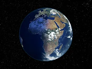
Background imageContinent Collection: Africa, night-day satellite image

Africa, night-day satellite image. This composite image of the Earth is set against a background of stars, and is centred on the continent of Africa. North is at top

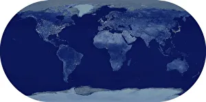
Background imageContinent Collection: Whole Earth at night, satellite image

Whole Earth at night, satellite image. This map is centred on the Greenwich meridian, at zero degrees latitude. City lights (yellow) show areas of dense population

Background imageContinent Collection: Africa, topographic map

Africa, topographic map. Highlands and lowlands of the continents are shown as ridges and flat areas. Southern Europe and the Middle East are also seen at top and upper right respectively

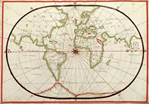
Background imageContinent Collection: Map of the world, 1590

Map of the world, 1590
16th century map of the world. Published around 1590, this map shows the known world, including the new lands being discovered by Europeans exploring across the Atlantic

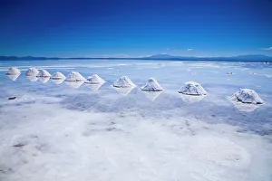
Background imageContinent Collection: Bolivia, Southern Altiplano, Salar de Uyuni. Cones of salt stacked on the Salar de Uyuni salt flat

Bolivia, Southern Altiplano, Salar de Uyuni. Cones of salt stacked on the Salar de Uyuni salt flat

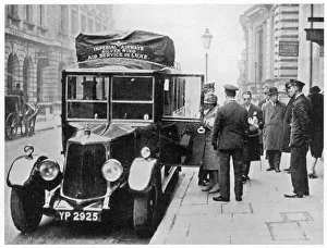
Background imageContinent Collection: Airport Bus, 1927

Airport Bus, 1927
Passengers for the Continent leave the Charles Street head- quarters of Imperial Airways, and board the Imperial Airways motor=car which will whisk them to Croydon air-station

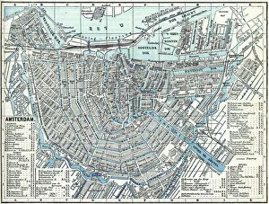
Background imageContinent Collection: Map of city Amsterdam Netherlands from 1881

Map of city Amsterdam Netherlands from 1881 Original edition from my own archives Source : Illustriertes Konversations Lexikon 1881

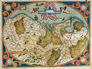
Background imageContinent Collection: Map of Germany and current Netherlands. Theatrum Orbis Terra

Map of Germany and current Netherlands. Theatrum Orbis Terrarum by Abraham Ortelius (1527-1598). First Edition. Antwerp, 1574. Library of Catalonia. Barcelona. Spain

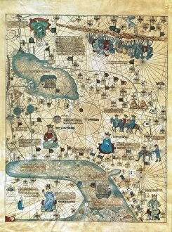
Background imageContinent Collection: Map of Cathay, China, from Catalan Atlas created for Charles V, King of France

Map of Cathay, China, from Catalan Atlas created for Charles V, King of France
Cartography, 14th century. Map of Cathay (China). From Catalan Atlas created for Charles V, King of France, attributed to Abraham and Jafuda Cresques Maiorca (circa 1375)

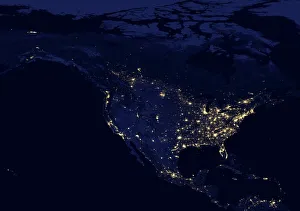
Background imageContinent Collection: North America at night, satellite image

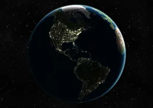
North America at night, satellite image
North America at night. Black marble satellite image of North America at night. More densely populated areas are brighter

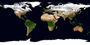
Background imageContinent Collection: World map, February 2004

World map, February 2004
World Map. Blue Marble: Next Generation cloud-free true-colour composite image of the Earth in February 2004. It is winter in the Northern Hemisphere and large areas of land are covered in snow

Background imageContinent Collection: Hansom cabs outside Victoria Station, London

Hansom cabs outside Victoria Station, London. Date: circa 1905

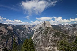
Background imageContinent Collection: Half Dome Seen From Glacier Point

Half Dome Seen From Glacier Point

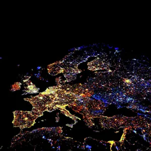
Background imageContinent Collection: Europe at night, 1993-2003 changes

Europe at night, 1993-2003 changes
Europe at night, showing the change in illumination from 1993-2003. This data is based on satellite observations. Lights are colour-coded. Red lights appeared during that period

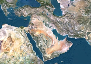
Background imageContinent Collection: Middle East, satellite image

Middle East, satellite image
Middle East. North is at top. Satellite image of the Middle East, showing the borders (white lines) of the countries. The Middle East is a Eurocentric term used to describe a region that roughly

Background imageContinent Collection: Europe, satellite image

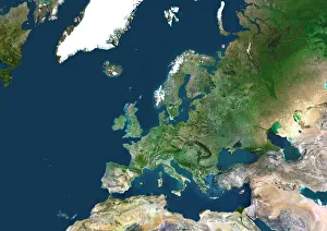
Europe, satellite image
Europe. Satellite image centred on Europe. North converges towards top. Water is blue, vegetation is green, arid areas are brown, and snow and ice are white

Background imageContinent Collection: The Long, Long Drift

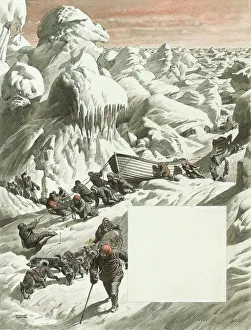
The Long, Long Drift
Illustration by Raymond Sheppard to an article entitled: The Long, Long Drift by John Prebble, relating to the The Imperial Trans-Antarctic Expedition of 1914-17

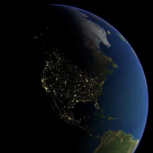
Background imageContinent Collection: North America at night

North America at night, satellite image. North is at top. Yellow lights mark the major cities. The western coast of the USA is the most brightly lit area, with the urban area of Los Angeles

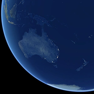
Background imageContinent Collection: Australia at night, satellite image

Australia at night, satellite image. City lights (yellow) show areas of more dense population, particularly in Southeast Asia (top left) and on Australias east coast

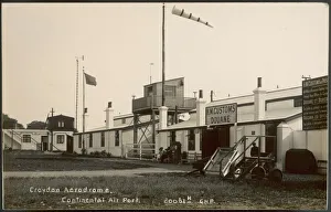
Background imageContinent Collection: Croydon Aerodrome

Croydon Aerodrome is Britains largest and most prestigious airport, with regular flights to the European Continent. Note the wind-sock which tells pilots the prevailing wind

Background imageContinent Collection: The Empire of Charlemagne (742-814) from Le Nouveau Theatre du Monde

The Empire of Charlemagne (742-814) from Le Nouveau Theatre du Monde
CHT165851 The Empire of Charlemagne (742-814) from Le Nouveau Theatre du Monde, 1639 (coloured engraving) by Hondius, Hendrik I (1573-p.1649); Archives du Ministere des Affaires Etrangeres, Paris

Background imageContinent Collection: Wilhelmshaven. Germany

Wilhelmshaven. Germany
Antique illustration of a Wilhelmshaven, Germany map

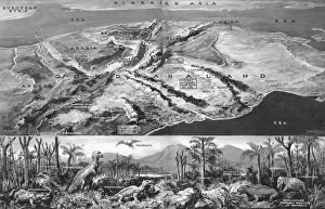
Background imageContinent Collection: Gondwanaland - a reconstruction

Gondwanaland - a reconstruction
A pictoral map of the Gondwana continent as it probably appeared before it was submerged millions of years ago. Reconstruction of typical Gondwana landscape

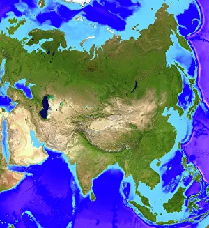
Background imageContinent Collection: Asia

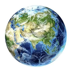
Asia. Computer artwork, based on a satellite image, of Asia. North is at top. Water is blue, vegetation is green and desert is yellow

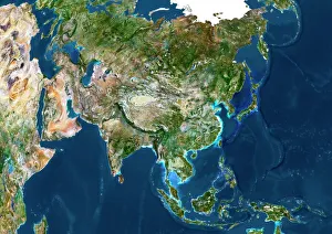
Background imageContinent Collection: Asia, satellite image

Asia, satellite image. The land is mostly covered by vegetation and seen as the green areas. Deserts are shown in yellow, and mountain ranges are grey

Background imageContinent Collection: Asia at night

Asia at night, satellite image. North is towards top right. Yellow lights mark the major cities. Japan (far right), the most brightly lit country, has densely populated urban areas

Background imageContinent Collection: DDE-90200093

DDE-90200093
Asia, Indonesia, Sulawesi, Sulawesi crested black macaque, Macaca nigra, self-portrait created after camera set-up on a tripod with cable release by photographer, also known as monkey selfie'

Background imageContinent Collection: Vive Le Sport! Go by rail... Advert for SNCF French Railways

Vive Le Sport! Go by rail... Advert for SNCF French Railways. Date: 1954

Background imageContinent Collection: Old Map of The Americas 1635 by Willem & Johan Blaue from the Theatrum Orbis Terrarum

Old Map of The Americas 1635 by Willem & Johan Blaue from the Theatrum Orbis Terrarum
This detailed and most attractive reproduction map of The Americas has been carefully art worked from a scan of an antique original

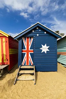
Background imageContinent Collection: The colourful Brighton Bathing Boxes located on Middle Brighton Beach, Brighton

The colourful Brighton Bathing Boxes located on Middle Brighton Beach, Brighton, Melbourne, Victoria, Australia

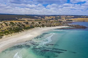
Background imageContinent Collection: Stokes Bay, Kangaroo Island, South Australia, Australia

Stokes Bay, Kangaroo Island, South Australia, Australia

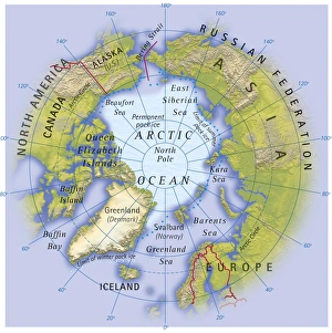
Background imageContinent Collection: Digital illustration of map showing position of Arctic Ocean and surrounding continents

Digital illustration of map showing position of Arctic Ocean and surrounding continents

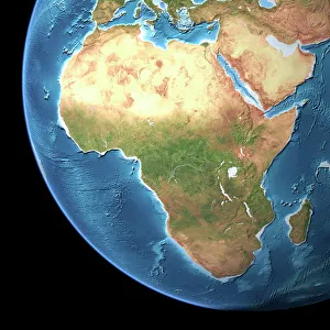
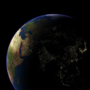
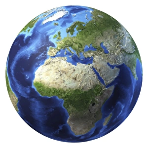
Background imageContinent Collection: 3D rendering of planet Earth, centered on Africa and Europe

3D rendering of planet Earth, centered on Africa and Europe
3D rendering of planet Earth with clouds, centered on Africa and Europe

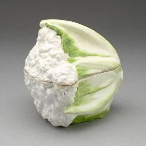
Background imageContinent Collection: Cauliflower Tureen, Chelsea, c. 1755

Cauliflower Tureen, Chelsea, c. 1755

Background imageContinent Collection: Seal, Chelsea, 1750/70

Seal, Chelsea, 1750/70

Background imageContinent Collection: Africa, artwork

Africa, artwork
Africa, computer artwork

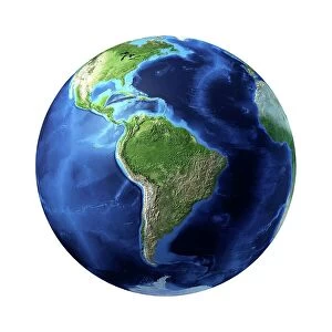
Background imageContinent Collection: South America, artwork

South America, artwork
South America, computer artwork

Background imageContinent Collection: Atlantic Ocean, artwork

Atlantic Ocean, artwork
Atlantic Ocean, computer artwork

Background imageContinent Collection: Arctic, artwork

Arctic, artwork
Arctic, computer artwork

Background imageContinent Collection: Asia, artwork

Asia, artwork
Asia, computer artwork

Background imageContinent Collection: North America, artwork

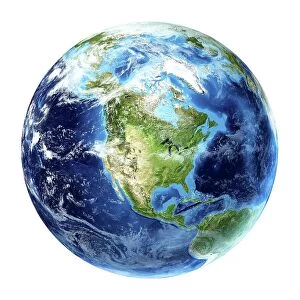
North America, artwork
North America, computer artwork

Background imageContinent Collection: Antarctic, artwork

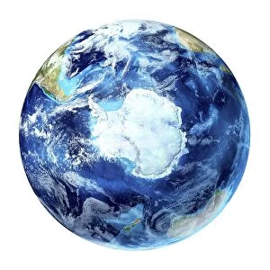
Antarctic, artwork
Antarctic, computer artwork

Background imageContinent Collection: Artic, artwork

Artic, artwork
Artic, computer artwork

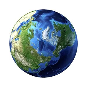
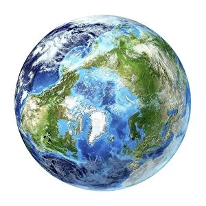
Background imageContinent Collection: Globe North Pole, True Colour Satellite Image. Cloudless true colour satellite image of the Earth, c

Globe North Pole, True Colour Satellite Image. Cloudless true colour satellite image of the Earth, centred on the Arctic or north polar region

Background imageContinent Collection: French Railway News - Service Streamlined since War

French Railway News - Service Streamlined since War. Date: 1952


All Professionally Made to Order for Quick Shipping

"Exploring the Vastness: A Journey through Continents" Al-Idrisi's World Map, 1154: Unveiling the ancient knowledge of continents and their boundaries. Continental Drift after 250 Million Years: Witnessing the ever-changing face of our planet over millions of years. Europe at Night - Satellite Image: Illuminating the vibrant tapestry of cities and civilizations under a starry sky. Europe at Night: A captivating nocturnal view showcasing the continent's bustling energy and urban landscapes. 17th Century World Map: Tracing the evolving perception of continents through historical cartography. Whole Earth at Night - Satellite Image: Glimpsing humanity's interconnectedness as lights twinkle across continents in unison. Our "Little Contemptibles, " 1914: Reflecting on bravery and resilience amidst global conflicts that shaped continents' destinies. 16th Century World Map: Discovering early explorers' visions as they unveiled new lands and expanded continental horizons. Earth from Space - Satellite Image: Beholding our magnificent home from afar, where continents blend seamlessly into one unified entity. Oronce Fine's World Map, 1531: Marveling at an intricate masterpiece that laid foundations for understanding vast continental expanses. Map of the Word with Lines Marking Boundaries of Tectonic Plates : Unraveling nature's hidden forces shaping continents throughout time The Devilfish in Egyptian Waters – An American cartoon from 1882 depicting John Bull (England) as the octopus of imperialism grabbing land on every continent .