
Colony Collection
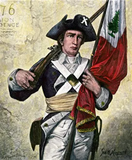
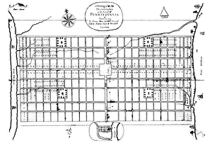
"Journey through History: Exploring the Rich Tapestry of Colonies" Step back in time to 1776, when the Thirteen original colonies laid the foundation for a new nation


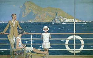
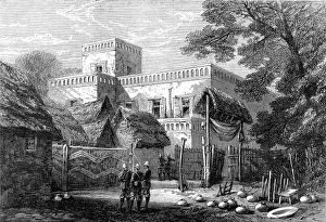

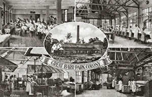

All Professionally Made to Order for Quick Shipping
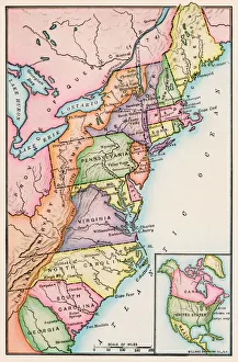
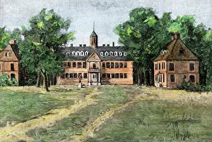
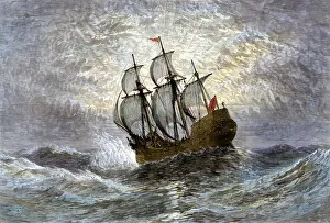
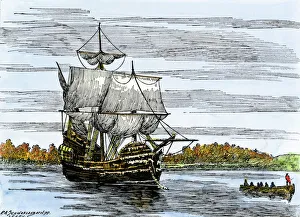
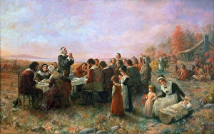
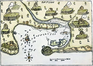
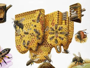
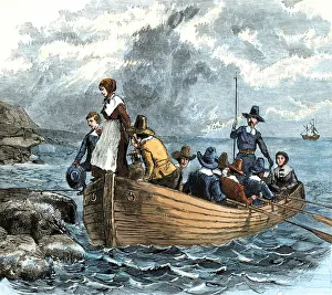
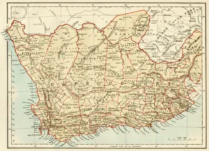
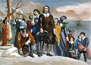
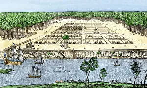
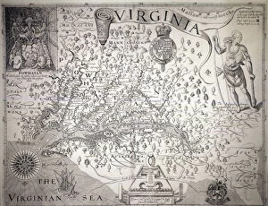
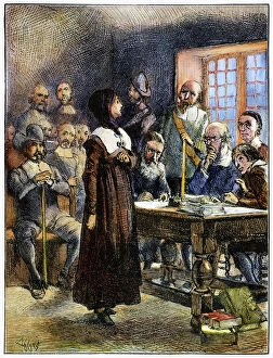
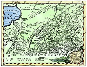
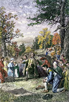
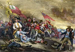
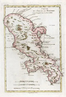
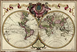
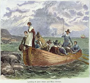
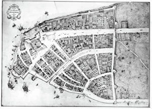
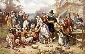
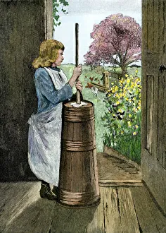
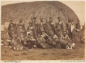
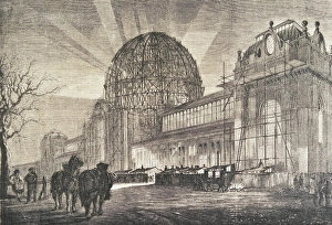
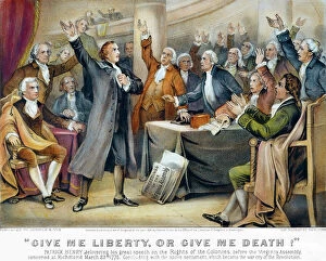
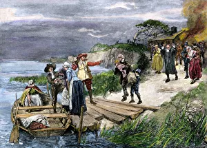
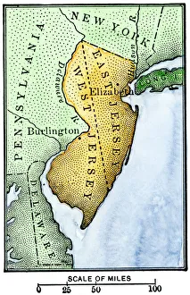
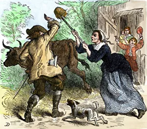
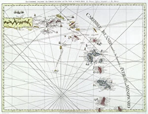
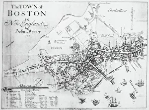
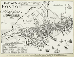
"Journey through History: Exploring the Rich Tapestry of Colonies" Step back in time to 1776, when the Thirteen original colonies laid the foundation for a new nation. From William and Mary College in the 1700s to the iconic Mayflower ship setting sail in 1620, these colonies shaped America's identity. Witness history unfold as Mayflower passengers land at Plymouth, Massachusetts, marking a significant chapter in American history. Delve into court records from the Salem witch trials of 1692, offering a glimpse into a dark period of colonial life. Immerse yourself in Jennie A. Brownscombe's captivating oil painting depicting "THE FIRST THANKSGIVING, " where Pilgrims and Native Americans come together to celebrate abundance and unity. Discover nature's wonders with honey bees - observe their intricate honeycomb structures and explore their fascinating life cycle through expanded cross-sections and insets. Marvel at Samuel de Champlain's map of Port St. Louis (later known as Plymouth), drawn during his expedition of 1605. Travel further south on Captain John Smith's Virginia Map from 1612, unveiling early English settlements that paved the way for future colonies. Witness Mayflower passengers landing on Plymouth Rock in 1620 - an enduring symbol of courage and resilience. Venture beyond North America to South Africa with a map showcasing Cape Colony - an intriguing glimpse into European colonization efforts across continents. Finally, witness Anne Hutchinson's trial at Boston in 1637 through a wood engraving capturing this remarkable event. Embark on this historical journey through captivating images and stories that shed light on our colonial past - reminding us how far we've come while honoring those who built our nation brick by brick.